Muscatine in Muscatine County, Iowa — The American Midwest (Upper Plains)
Papoose Creek
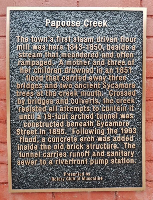
The town’s first stream driven flour mill was here 1843-1850, beside a stream that meandered and often rampaged. A mother and three of her children drowned in an 1851 flood that carried away three bridges and two ancient Sycamore trees at the creek mouth. Crossed by bridges and culverts, the creek resisted all attempts to contain it until a 19-foot arched tunnel was constructed beneath Sycamore Street in 1895. Following the 1993 flood, a concrete arch was added inside the old brick structure. The tunnel carries runoff and sanitary sewer to a riverfront pump station.
Erected by Rotary Club of Muscatine.
Topics and series. This historical marker is listed in these topic lists: Bridges & Viaducts • Disasters • Industry & Commerce • Waterways & Vessels. In addition, it is included in the Rotary International series list. A significant historical year for this entry is 1843.
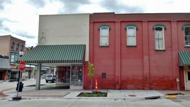
Location. 41° 25.32′ N, 91° 2.691′ W. Marker is in Muscatine, Iowa, in Muscatine County. Marker is at the intersection of Sycamore Street and East 2nd Street, on the right when traveling south on Sycamore Street. The marker is mounted at eye-level near the southeast corner of the building at this address, facing Sycamore Street. Touch for map. Marker is at or near this postal address: 131 East 2nd Street, Muscatine IA 52761, United States of America. Touch for directions.
Other nearby markers. At least 8 other markers are within walking distance of this marker. Pioneer Drug Store (within shouting distance of this marker); Replica of the Statue of Liberty (within shouting distance of this marker); Carry A. Nation (about 400 feet away, measured in a direct line); First Presbyterian Church (about 800 feet away); Mississippi River Record Flood Crest (approx. 0.2 miles away); Muscatine Journal (approx. 0.2 miles away); Trinity Episcopal Church (approx. 0.2 miles away); Address by President Lincoln (approx. 0.2 miles away). Touch for a list and map of all markers in Muscatine.
Also see . . .
1. Muscatine, Iowa: Geography (Wikipedia). Excerpt:
Muscatine is primarily located on a series of bluffs and hills at a major west-south bend in the Mississippi River. The river-bend gives the city roughly 260 degrees of riverfront. The "highland" area of the town is divided into three ridge-like hills by Papoose Creek and Mad Creek, each of which flow individually into the Mississippi in downtown Muscatine.(Submitted on January 3, 2024, by Cosmos Mariner of Cape Canaveral, Florida.)
2. Papoose Creek, Now Hidden Stream, Proved Popular Play Spot for Youth of Early Years
. Excerpt:
From Muscatine Journal & News-Tribune, Centennial Edition, 31 May 1940: Pappoose creek that once twined through the heart of Muscatine’s business district is all but forgotten by the majority of Muscatine’s present-day residents. So long has the stream been underground and all traces of it erased so far as surface appearances are concerned that no one remembers it as a creek that flowed in a southerly direction entirely through the town except those who are well past middle age. The creek was diverted into an underground conduit in 1896. One Muscatine woman for whom the creek as it existed more than a half century ago will always have a sentimental attraction is Mrs. Lydia F. Hill. As a girl, Mrs. Hill lived on Sycamore Street at about the present site of the palace theater and later the family moved farther up Sycamore Street to the present site of the Y. W. C. A. She, together with other children of the neighborhood, spent many hours playing along the shores of the stream which was near both of these houses in which she lived.(Submitted on January 3, 2024, by Cosmos Mariner of Cape Canaveral, Florida.)
3. Flood of 1851 (Wikipedia). Excerpt:
The Great Flood of 1851 occurred after record-setting rainfalls across the Midwestern United States and Plains from May to August, 1851. Hardest hit was the State of Iowa, with significant flooding extending to the Lower Mississippi River basin. Major flooding in 1851 occurred in Bentonsport, Croton, Bonaparte, Des Moines, Eddyville, Farmington, Iowaville, Keosauqua, Muscatine, Oskaloosa, Ottumwa, Red Rock, and Rochester.(Submitted on January 3, 2024, by Cosmos Mariner of Cape Canaveral, Florida.)
Credits. This page was last revised on January 3, 2024. It was originally submitted on January 3, 2024, by Cosmos Mariner of Cape Canaveral, Florida. This page has been viewed 78 times since then. Photos: 1, 2. submitted on January 3, 2024, by Cosmos Mariner of Cape Canaveral, Florida.

