Aguanga in Riverside County, California — The American West (Pacific Coastal)
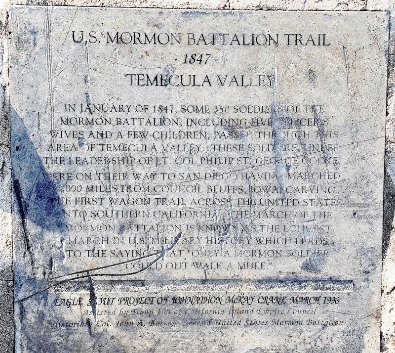
U.S. Mormon Battalion Trail
1847
— Temecula Valley —
Erected 1996 by Eagle Scout project of Johnathon McKay Crane, Troop 100 Inland Empire Council, Historian Col. John A. Bascom Second United States Mormon Battalion.
Topics and series. This historical marker is listed in these topic lists: Roads & Vehicles • War, Mexican-American. In addition, it is included in the Mormon Battalion series list. A significant historical month for this entry is January 1847.
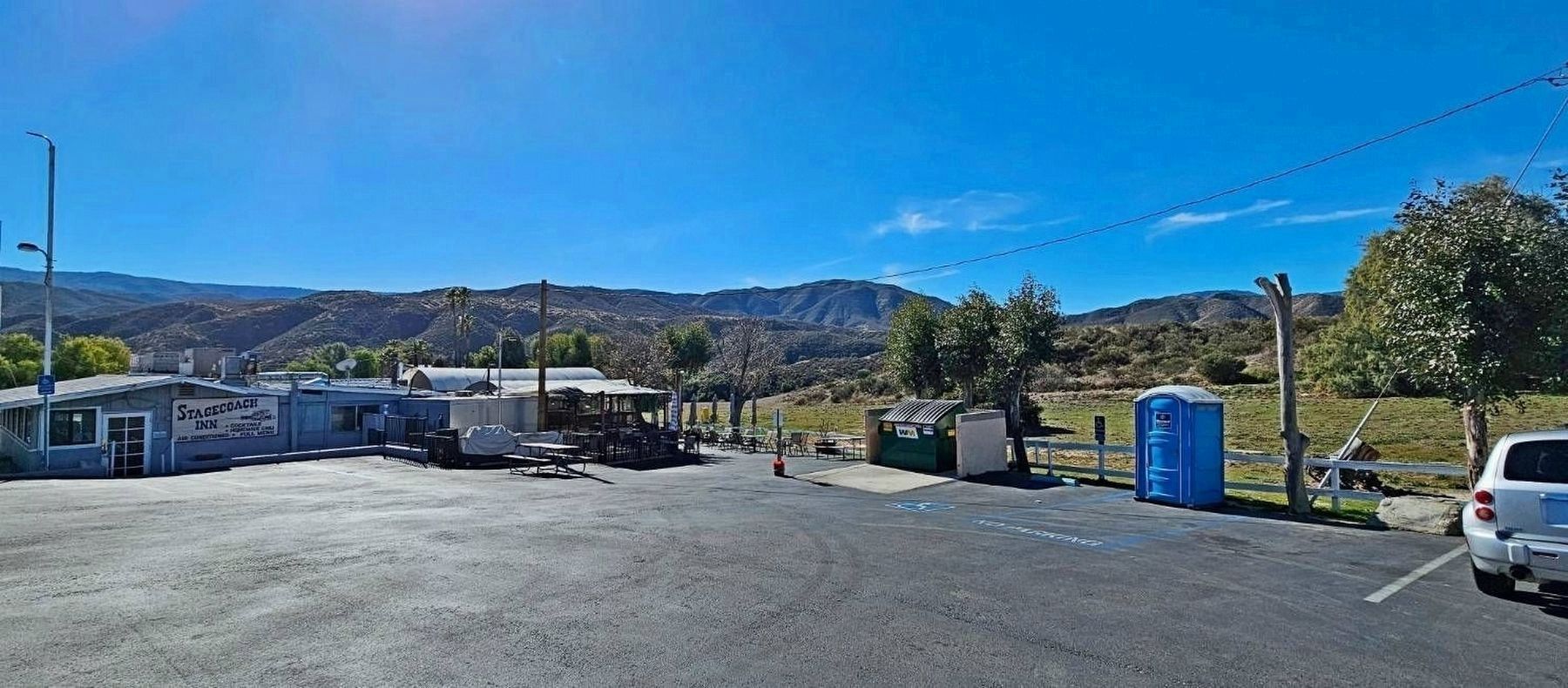
Location. 33° 27.048′ N, 116° 53.783′ W. Marker is in Aguanga, California, in Riverside County. Marker is on California 79, 1˝ miles south of Sage Road, on the right when traveling south. Parking lot of Stagecoach Inn restaurant. Touch for map. Marker is at or near this postal address: 43851 CA-79, Aguanga CA 92536, United States of America. Touch for directions.
Other nearby markers. At least 8 other markers are within 12 miles of this marker, measured as the crow flies. Jacob Bergman (approx. 0.3 miles away); Cottonwood School (approx. 2.2 miles away); Dripping Springs Watering Hole (approx. 5.6 miles away); Oak Grove Stage Station (approx. 7.2 miles away); Camp Wright (approx. 7.3 miles away); Welcome To Oak Grove Station (approx. 7˝ miles away); U.S. Border Patrol - Theodore L. Newton, Jr. and George F. Azrak (approx. 7˝ miles away); Juan Diego Flats (approx. 11.3 miles away). Touch for a list and map of all markers in Aguanga.
Credits. This page was last revised on February 3, 2024. It was originally submitted on January 3, 2024, by Donald Cooke of Aguanga, California. This page has been viewed 77 times since then. Photos: 1. submitted on January 3, 2024, by Donald Cooke of Aguanga, California. 2, 3. submitted on January 16, 2024, by Donald Cooke of Aguanga, California. • Andrew Ruppenstein was the editor who published this page.


