Near Fort Towson in Choctaw County, Oklahoma — The American South (West South Central)
Notice!
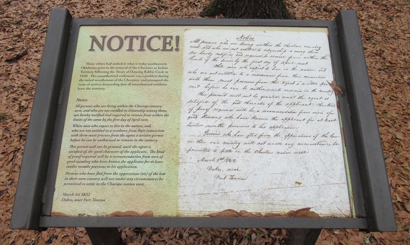
Many whites had settled in what is today southeastern Oklahoma prior to the removal of the Choctaws to Indian Territory following the Treaty of Dancing Rabbit Creek in 1830. This unauthorized settlement was a problem during the initial resettlement of the Choctaws, and prompted the issue of notices demanding that all unauthorized residents leave the territory.
Notice
All persons who are living within the Choctaw country west, and who are not entitled to citizenship among them, are hereby notified and required to remove from within the limits of the same by the first day of April next.
White men who expect to live in the nation, and who are not entitled to a residence from their connection with them must procure from the agent a written permit before he can be authorized to remain in the country.
This permit will not be granted, until the agent is satisfied of, the good character of the applicant. The kind of proof required will be a recommendation from men of good standing who have known the applicant for at least twelve months previous to his application.
Person who have fled from the opperations (sic) of the law in their own country will not under any circumstances be permitted to settle in the Choctaw nation west.
March 1st 1832
Dokes, near Fort Towson
Erected by Oklahoma Historical Society.
Topics. This historical marker is listed in these topic lists: Government & Politics • Native Americans • Settlements & Settlers. A significant historical date for this entry is March 1, 1832.
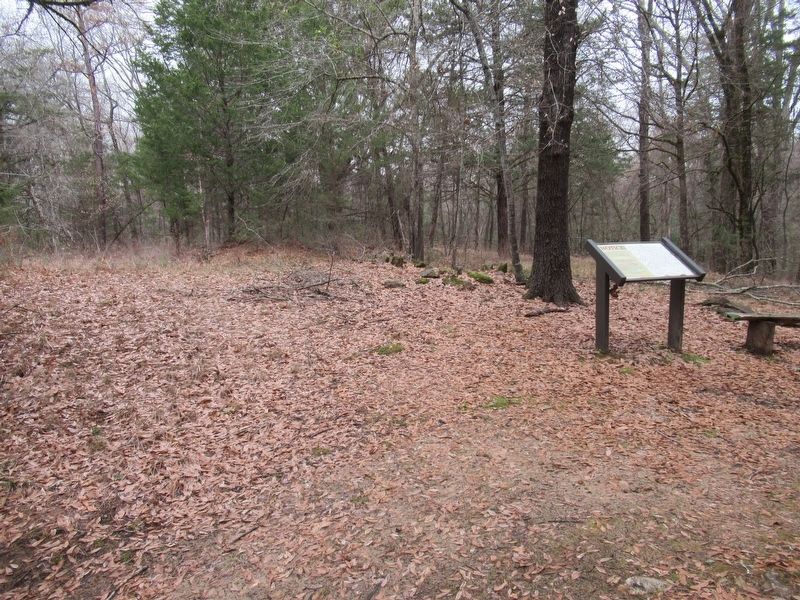
Location. 34° 2.099′ N, 95° 16.179′ W. Marker is near Fort Towson, Oklahoma, in Choctaw County. Marker can be reached from Red Road, 0.8 miles north of Tram Road, on the right when traveling north. The marker is located along the Old Doaksville Townsite History Trail at the back of the Fort Towson Cemetery. Stairs on the back wall of the cemetery leads to the trail. Touch for map. Marker is in this post office area: Fort Towson OK 74735, United States of America. Touch for directions.
Other nearby markers. At least 8 other markers are within walking distance of this marker. Doaksville (a few steps from this marker); Stand Watie’s Surrender (a few steps from this marker); A Community Well (within shouting distance of this marker); The Preservation of Doaksville (within shouting distance of this marker); The Doaksville Hotel (within shouting distance of this marker); A Store on Commercial Row (within shouting distance of this marker); A Kitchen? (within shouting distance of this marker); Why The Mound? (about 300 feet away, measured in a direct line). Touch for a list and map of all markers in Fort Towson.
Credits. This page was last revised on January 4, 2024. It was originally submitted on January 4, 2024, by Jason Armstrong of Talihina, Oklahoma. This page has been viewed 22 times since then. Photos: 1, 2. submitted on January 4, 2024, by Jason Armstrong of Talihina, Oklahoma. • Devry Becker Jones was the editor who published this page.

