Petersburg in Grant County, West Virginia — The American South (Appalachia)
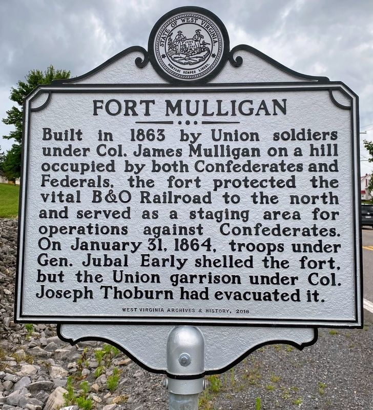
Fort Mulligan
Erected 2016 by West Virginia Archives & History.
Topics. This historical marker is listed in these topic lists: Forts and Castles • War, US Civil. A significant historical date for this entry is January 31, 1864.
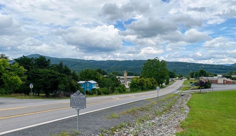
Location. 39° 0.165′ N, 79° 8.222′ W. Marker is in Petersburg, West Virginia, in Grant County. Marker is at the intersection of North Fork Highway (West Virginia Route 55) and Cedar Manor Court, on the right when traveling east on North Fork Highway. The marker can be accessed from the Grant Memorial Hospital parking lot. Beware of fast-moving traffic along WV-55. Touch for map. Marker is in this post office area: Petersburg WV 26847, United States of America. Touch for directions.
Other nearby markers. At least 8 other markers are within walking distance of this marker. Welcome to Fort Mulligan Civil War Site (about 700 feet away, measured in a direct line); The Irish Brigade & the McNeill Rangers / The Civil War Comes to Hardy County (about 800 feet away); Parrott Rifle (approx. 0.2 miles away); The Last Days of Fort Mulligan (approx. 0.2 miles away); Civil War Cannons (approx. 0.2 miles away); Protecting Supplies (approx. 0.2 miles away); A Strategic Location (approx. 0.2 miles away); Defending the Fort (approx. ¼ mile away). Touch for a list and map of all markers in Petersburg.
Also see . . . Fort Mulligan. American Battlefield Trust (Submitted on December 18, 2020.)
Credits. This page was last revised on January 6, 2024. It was originally submitted on December 17, 2020, by Shane Oliver of Richmond, Virginia. This page has been viewed 206 times since then and 36 times this year. Last updated on January 4, 2024, by Carl Gordon Moore Jr. of North East, Maryland. Photos: 1, 2. submitted on December 17, 2020, by Shane Oliver of Richmond, Virginia. • J. Makali Bruton was the editor who published this page.

