Near Hazelwood in St. Louis County, Missouri — The American Midwest (Upper Plains)
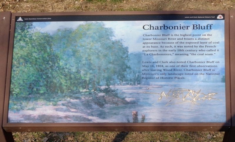
Charbonier Bluff
Saint Stanislaus Conservation Area
— Lewis and Clark National Historic Trail —
Lewis and Clark also noted Charbonier Bluff on May 16, 1804, as one of their first observations after leaving Wood River. Charbonier Bluff is Missouri's only landscape listed on the National Register of Historic Places.
Erected by National Park Service.
Topics and series. This historical marker is listed in these topic lists: Exploration • Waterways & Vessels. In addition, it is included in the Lewis & Clark Expedition series list. A significant historical date for this entry is May 16, 1804.
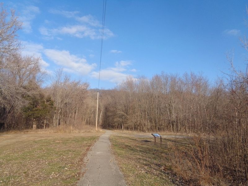
Location. 38° 48.765′ N, 90° 23.611′ W. Marker is near Hazelwood, Missouri, in St. Louis County. Marker is on Old Charbonier Road east of Aubuchon Road, on the right when traveling east. Marker is located off a nature trail near the entrance and parking lot of Saint Stanislaus Conservation Area. Touch for map. Marker is at or near this postal address: Old Charbonier Rd, Hazelwood MO 63042, United States of America. Touch for directions.
Other nearby markers. At least 8 other markers are within 4 miles of this marker, measured as the crow flies. Florissant Vietnam Memorial Obelisk (approx. 1.8 miles away); Utz-Teson House (approx. 2.7 miles away); The Little Red Schoolhouse (approx. 2.7 miles away); Knobbe House (approx. 2.7 miles away); Old St. Ferdinand Shrine (approx. 3.4 miles away); Florissant (approx. 3.4 miles away); Saint Rose Philippine Duchesne (approx. 3.4 miles away); a different marker also named Saint Rose Philippine Duchesne (approx. 3.4 miles away). Touch for a list and map of all markers in Hazelwood.
Also see . . . Saint Stanislaus Conservation Area (Missouri Department of Conservation). This once-historic area where the nearby Saint Stanislaus Seminary used this site as a retreat, is now a park where visitors can hike, along with several other recreational activities. There is a steep trail that leads to the bluffs. (Submitted on January 4, 2024, by Jason Voigt of Glen Carbon, Illinois.)
Credits. This page was last revised on January 5, 2024. It was originally submitted on January 4, 2024, by Jason Voigt of Glen Carbon, Illinois. This page has been viewed 81 times since then. Photos: 1, 2, 3. submitted on January 4, 2024, by Jason Voigt of Glen Carbon, Illinois.


