Emeryville in Alameda County, California — The American West (Pacific Coastal)
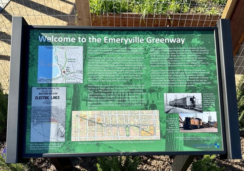
Welcome to the Emeryville Greenway
You are at the southern end of the Emeryville Greenway, a rails-to-trails project that converted a former interurban passenger and freight rail line to a pedestrian and bicycle trail across Emeryville.
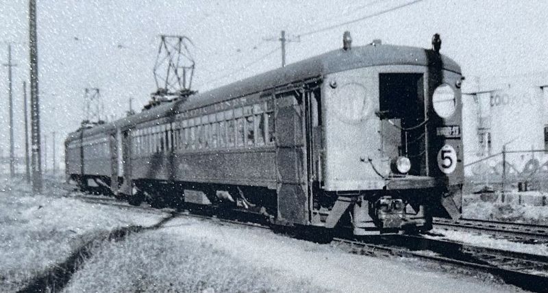
The Greenway was originally an interurban rail route called the "Ninth Street Line" built in 1911 as part of Southern Pacific's East Bay Electric Lines. It extended from the ferry terminal in West Oakland, through Emeryville, West Berkeley, and Albany to the Thousand Oaks terminal on Solano Avenue in North Berkeley. In 1934, the East Bay Electric Lines were reorganized as the Interurban Electric Railway (IER), and in 1939 the trains began running across the Bay Bridge. The trip from Emeryville to downtown San Francisco took about 22 minutes. (Today, the same trip by transit takes about 30 minutes.)
After transit service ended in 1941, Southern Pacific converted the line to a freight-only spur known as the "Ninth Street Drill Track". In 1996, Southern Pacific merged with Union Pacific, which continued to operate this line serving various industries in Emeryville and West Berkeley. The last of these was the California Syrup and Extract Company, better known as Liquid Sugar, which closed in 2001 resulting in the final abandonment of the rail spur by Union Pacific and its acquisition by the City of Emeryville.
This provided the impetus for Emeryville to develop the North Hollis Area Urban Design Program, adopted by the City Council in April 2002. One of its major proposals was the conversion of the rail line into the Doyle Street Greenway, "envisioned as a community-oriented open space that will provide for enhanced pedestrian and bicycle circulation." In October 2009, a new Emeryville General Plan was adopted memorializing the vision of a Greenway that would extend all the way across the City.
During a 20-year period from 2003 to 2023, the Greenway was constructed both by private developers as part of their projects, and by the City of Emeryville completing the segments in-between. Extending about 1.3 miles across the city, the Emeryville Greenway connects with the Bay Trail in Oakland to the south, and with the Ninth Street Bicycle Boulevard in Berkeley to the north, forming a vital link in the East Bay bicycle and pedestrian network.
Erected 2023 by City of Emeryville.
Topics. This historical marker is listed in these topic lists: Parks & Recreational Areas • Railroads & Streetcars. A significant historical month for this entry is April 2002.
Location. 37° 49.894′ N, 122° 17.438′ W. Marker is in Emeryville, California, in Alameda County. Marker
is on Halleck Street, on the right when traveling north. Touch for map. Marker is at or near this postal address: Sherwin Avenue, Emeryville CA 94608, United States of America. Touch for directions.
Other nearby markers. At least 8 other markers are within walking distance of this marker. Sherwin-Williams (here, next to this marker); Xučyun Park (Huchiun Park) (within shouting distance of this marker); Judson Manufacturing (within shouting distance of this marker); Two Emeryville Pioneers (about 500 feet away, measured in a direct line); Emeryville’s Mexican Heritage (about 800 feet away); Emeryville’s Horse Racetrack (approx. 0.2 miles away); Northern Railway (approx. ¼ mile away); Moving Shoreline (approx. ¼ mile away). Touch for a list and map of all markers in Emeryville.
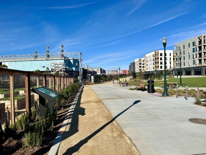
More about this marker. The marker is located in the southwest corner of Huchiun Park, at the southern end of the Emeryville Greenway.
Credits. This page was last revised on January 5, 2024. It was originally submitted on January 5, 2024, by Andrew Ruppenstein of Lamorinda, California. This page has been viewed 68 times since then. Photos: 1, 2, 3. submitted on January 5, 2024, by Andrew Ruppenstein of Lamorinda, California.


