Mullin in Mills County, Texas — The American South (West South Central)
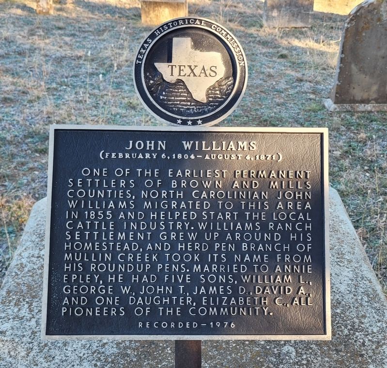
John Williams
(February 6, 1804 - August 4,1871)
Erected 1976 by Texas Historical Commission. (Marker Number 2823.)
Topics. This historical marker is listed in these topic lists: Cemeteries & Burial Sites • Settlements & Settlers. A significant historical year for this entry is 1855.
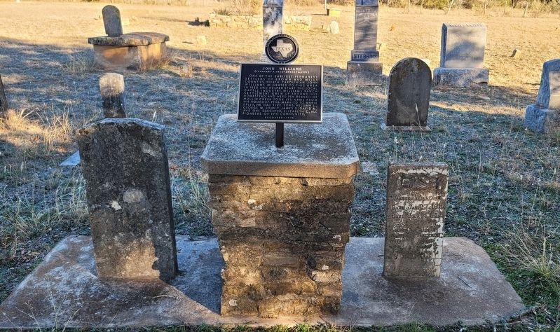
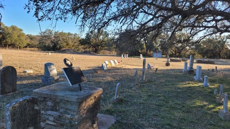
Location. 31° 30.631′ N, 98° 39.271′ W. Marker is in Mullin, Texas, in Mills County. Marker can be reached from County Road 508, 3.1 miles south of South 6th Street. The marker is located at the east end of the Williams Ranch Cemetery. Touch for map. Marker is in this post office area: Mullin TX 76864, United States of America. Touch for directions.
Other nearby markers. At least 8 other markers are within 7 miles of this marker, measured as the crow flies. Williams Ranch Cemetery (within shouting distance of this marker); Site of the Settlement of Williams Ranch (approx. 3.3 miles away); Mullin United Methodist Church (approx. 3.4 miles away); Site of Chesser Valley Community (approx. 4.2 miles away); Ratler, Texas and the Renfro Dam (approx. 5.7 miles away); Jackson Massacre (approx. 5.7 miles away); The Regency Suspension Bridge (approx. 6.3 miles away); Mills County World War II and Korea-Vietnam Memorial (approx. 6.4 miles away). Touch for a list and map of all markers in Mullin.
Also see . . . Williams Ranch, TX. Texas State Historical Association (TSHA)
Williams Ranch was three miles south of Mullin, its shipping point, and eight miles northwest of Goldthwaite in central Mills County. The site was a ghost town just off U.S. highways 84 and 183 in 1990. The settlement was founded in 1855 by John Williams around a spring in the center of his ranch. Serving as the trading post for a large, sparsely-settled area, the hamlet had a schoolhouse and several stores. A mill was erected in 1877. The stone walls of this mill became the permanent register for the customary public posting of cattle brands. The community was a major stop on a stage line between Austin and Brownwood.(Submitted on January 7, 2024, by James Hulse of Medina, Texas.)
Credits. This page was last revised on January 7, 2024. It was originally submitted on January 6, 2024, by James Hulse of Medina, Texas. This page has been viewed 70 times since then. Photos: 1, 2, 3. submitted on January 7, 2024, by James Hulse of Medina, Texas.


