Calhoun Isles in Minneapolis in Hennepin County, Minnesota — The American Midwest (Upper Plains)
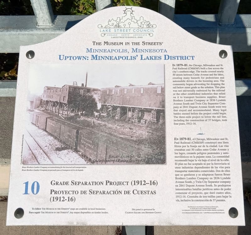
Grade Separation Project (1912–16)
The Museum in the Streets: Minneapolis, Minnesota
— Uptown: Minneapolis' Lake District —
Bruer Brothers Lumber Company accommodating for the lowered rail transportation.
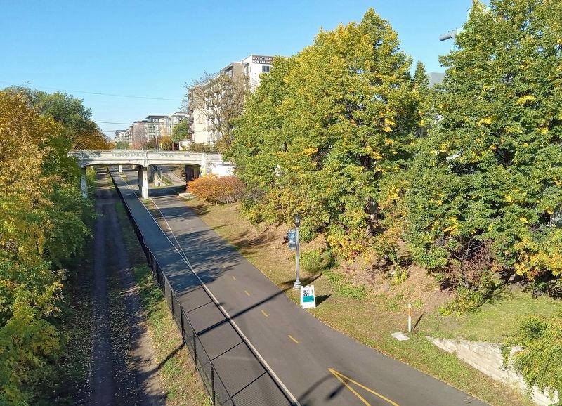
En 1879-81, el Chicago, Milwaukee and St. Paul Railroad (CM&StP) construyó una línea férrea por la franja sur de la ciudad. Las vías cruzaban casi 50 calles entre Cedar Avenue y los lagos, creando peligros peatonales y automolísticos en a pujante zona. La comunidad recomendó bajar la vía bajo el nivel de la calle. El plan no fue aceptado ni por la ferroviaria ni otras industrias dependientes de las vías para transportar materiales comerciales. Dos de ellos que se quedaron y se adaptaron fueron Bruer Brothers Lumber Company en 2836 Lyndale Avenue South, y Twin City Separator company en 2841 Dupont Avenue South. Se produjeron interminables batallas jurídicas antes de poder comenzar el proyecto, que duró cuatro años, 1912-16. Constaba de tres millas para bajar la vía, inclusive la construcción de 37 puentes.
Erected by The Museum in the Streets®. (Marker Number 10.)
Topics and series. This historical marker is listed in these topic lists: Bridges & Viaducts • Industry & Commerce • Railroads & Streetcars • Roads & Vehicles. In addition, it is included in the The Museum in the Streets®: Minneapolis, Minnesota series list. A significant historical year for this entry is 1912.
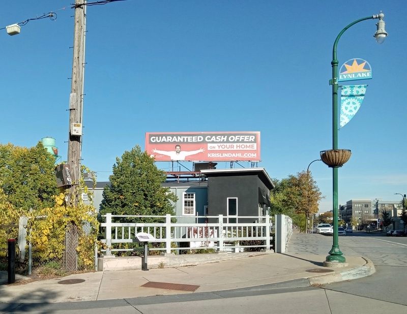
Location. 44° 57.007′ N, 93° 17.298′ W. Marker is in Minneapolis, Minnesota, in Hennepin County. It is in Calhoun Isles. Marker is at the intersection of
Lyndale Avenue and W 29th Street, on the left when traveling north on Lyndale Avenue. Touch for map. Marker is at or near this postal address: 2904 Lyndale Avenue, Minneapolis MN 55408, United States of America. Touch for directions.
Other nearby markers. At least 8 other markers are within walking distance of this marker. 2916 Lyndale Avenue: James J. Ballentine VFW Post 246 (within shouting distance of this marker); Flour, Fuel and Baseball (about 600 feet away, measured in a direct line); Lyndale Avenue and Lake Street/Crowell Building (about 700 feet away); 609 West Lake Street: Schatzlein Saddle Shop (about 700 feet away); Building the Corridor (approx. 0.2 miles away); 925 West Lake Street: The Minneapolis Mercantile Company (approx. 0.2 miles away); 1006 West Lake: The Buzza Building (approx. 0.2 miles away); 2900 Hennepin Avenue: The Uptown Theater (approx. half a mile away). Touch for a list and map of all markers in Minneapolis.
Credits. This page was last revised on January 7, 2024. It was originally submitted on January 6, 2024, by McGhiever of Minneapolis, Minnesota. This page has been viewed 55 times since then. Photos: 1, 2, 3. submitted on January 6, 2024, by McGhiever of Minneapolis, Minnesota. • J. Makali Bruton was the editor who published this page.


