Near Fort Recovery in Mercer County, Ohio — The American Midwest (Great Lakes)
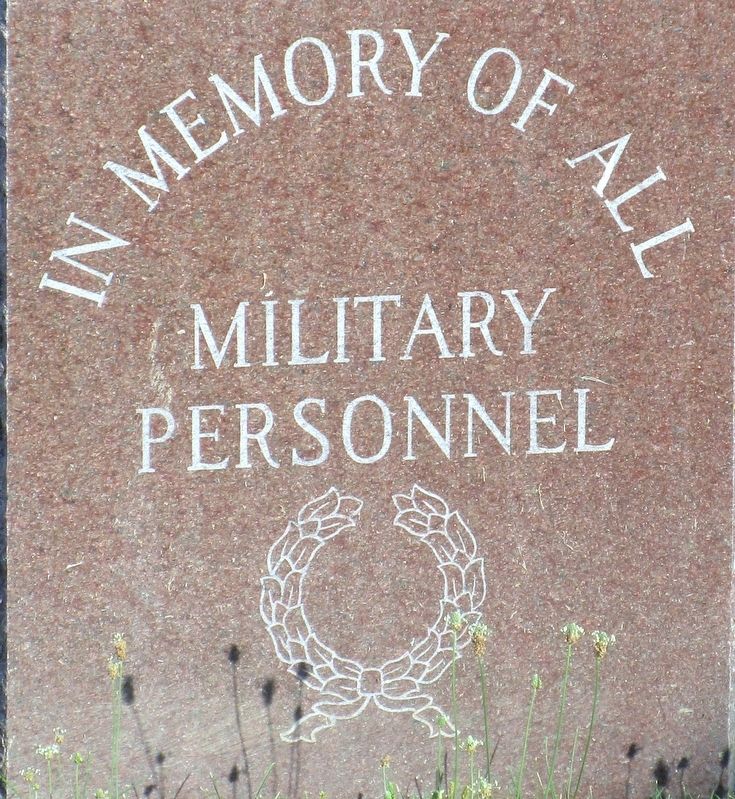
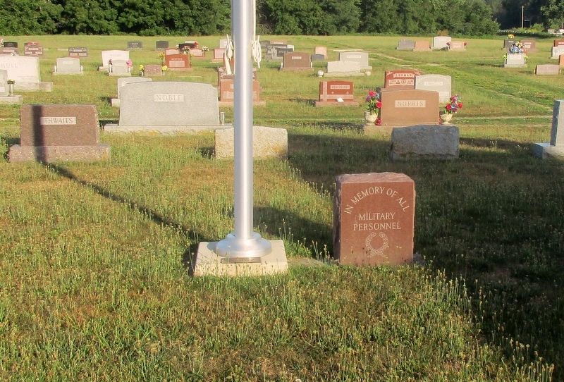
Spring Hill Cemetery Veterans Memorial
Photographed by Rev. Ronald Irick, July 11, 2016
1. Spring Hill Cemetery Veterans Memorial
military
personnel
Erected by VFW Post 6515.
Topics. This memorial is listed in this topic list: Military.
Location. 40° 24.772′ N, 84° 47.522′ W. Memorial is near Fort Recovery, Ohio, in Mercer County. It can be reached from the intersection of West Butler Street (Ohio Route 119) and Lowry Road (County Route 38), on the left when traveling west. Touch for map. Memorial is at or near this postal address: 362 West Butler Street, Fort Recovery OH 45846, United States of America. Touch for directions.

Regionally, this memorial is in the Till Plains. It is also in the American Midwest and in the Corn Belt. Globally, it is in North America, the Western Hemisphere, the Western World, and the Anglosphere. Historically, it finds itself in what was once the Haudenosaunee (Iroquois) Confederacy, the territory of the Mississippian Culture, and the Northwest Territory.
Other nearby markers. At least 8 other markers are within walking distance of this marker: Green Mound Cemetery Veterans Memorial (approx. 0.3 miles away); American Indian Strategy: Use of the Landscape
this page online
Photographed by Rev. Ronald Irick, July 11, 2016
2. Spring Hill Cemetery Veterans Memorial
Photographed by Rev. Ronald Irick, July 11, 2016
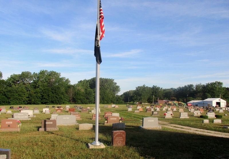
3. Spring Hill Cemetery Veterans Memorial
The memorial can be seen at a distance to the right, across St Rt 119 is the Wabash River. Beyond the tree line is the Indiana State Line.
Photographed by Craig Doda, January 6, 2024
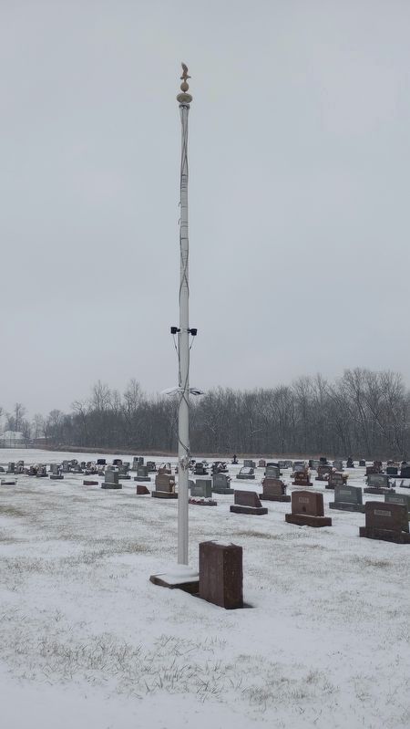
4. Spring Hill Cemetery Veterans Memorial
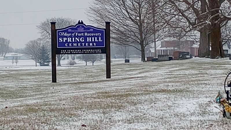
Photographed by Craig Doda, January 6, 2024
5. Spring Hill Cemetery Sign
Credits. This page was last revised on January 8, 2024. It was originally submitted on August 29, 2016, by Rev. Ronald Irick of West Liberty, Ohio. This page has been viewed 454 times since then and 28 times this year. Last updated on January 7, 2024, by Craig Doda of Napoleon, Ohio. Photos: 1, 2, 3. submitted on August 29, 2016, by Rev. Ronald Irick of West Liberty, Ohio. 4, 5. submitted on January 7, 2024, by Craig Doda of Napoleon, Ohio. • J. Makali Bruton was the editor who published this page.
