Douglass in Nacogdoches County, Texas — The American South (West South Central)
Presidio Nuestra Señora de los Dolores de los Tejas
Inscription.
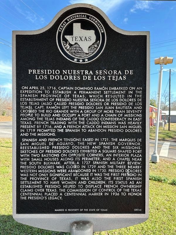
On April 25, 1716, Captain Domingo Ramón embarked on an expedition to establish a permanent settlement in the Spanish province of Texas, which resulted in the establishment of Presidio Nuestra Señora de los Dolores de los Tejas (also called Presidio Dolores or Presidio de los Tejas). Capt. Ramón left the Presidio San Juan Bautista and crossed the Rio Grande with a group of more than seventy people to build and occupy a fort and a chain of missions among the Tejas Indians of the Caddo Confederacy in East Texas. French trading with the Caddo Indians was heavily present by 1716, and a French attack on Mission San Miguel in 1719 prompted the Spanish to abandon Presidio Dolores and the missions.
Spanish and French tensions eased in 1721. The Marquis de San Miguel de Aguayo, the new Spanish Governor, reestablished Presidio Dolores and the six missions. Sketches of Presidio Dolores exhibited a square-shaped fort with two bastions on opposite corners, an interior plaza with small houses along its perimeter, and a chapel near the south bulwark. After a 1727 Spanish military review, Presidio Dolores was closed in 1729 and the three nearby western missions were abandoned in 1730. Presidio Dolores was not only significant because it was the first presidio in the province of Texas, it was also the first Spanish settlement to have women and children. Its status as an established presidio helped to displace French ownership claims over Texas. The Commission of Control of the Texas Centennial placed a Centennial marker in 1936 to honor the Presidios legacy.
Erected 2014 by Texas Historical Commission. (Marker Number 17931.)
Topics. This historical marker is listed in these topic lists: Colonial Era • Forts and Castles. A significant historical date for this entry is April 25, 1716.
Location. 31° 40.033′ N, 94° 52.988′ W. Marker is in Douglass, Texas, in Nacogdoches County. Marker is at the intersection of State Highway 21 and Farm to Market Road 225, on the right when traveling east on State Highway 21. Touch for map. Marker is in this post office area: Douglass TX 75943, United States of America. Touch for directions.
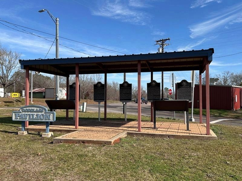
Other nearby markers. At least 8 other markers are within 5 miles of this marker, measured as the crow flies. San Patricio Rancho (here, next to this marker); Mission Nuestra Señora de la Purísima Concepción de los Hainais (here, next to this marker); Louis Juchereau de St. Denis (here, next to this marker); Town of Douglass (here, next to this marker); Kings Highway Camino Real — Old San Antonio Road (approx. half a mile away); Angelina River (approx. 4.6 miles away); Site of Linwood (approx. 4.6 miles away);
a different marker also named Kings Highway Camino Real — Old San Antonio Road (approx. 4.9 miles away). Touch for a list and map of all markers in Douglass.
Related marker. Click here for another marker that is related to this marker.
Also see . . . Nuestra Señora de los Dolores de los Tejas Presidio - The Handbook of Texas Online. Texas State Historical Association (THSA) (Submitted on January 7, 2024, by Brian Anderson of Humble, Texas.)
Credits. This page was last revised on January 8, 2024. It was originally submitted on January 7, 2024, by Brian Anderson of Humble, Texas. This page has been viewed 79 times since then. Photos: 1, 2. submitted on January 7, 2024, by Brian Anderson of Humble, Texas.

