Near Linwood in Cherokee County, Texas — The American South (West South Central)
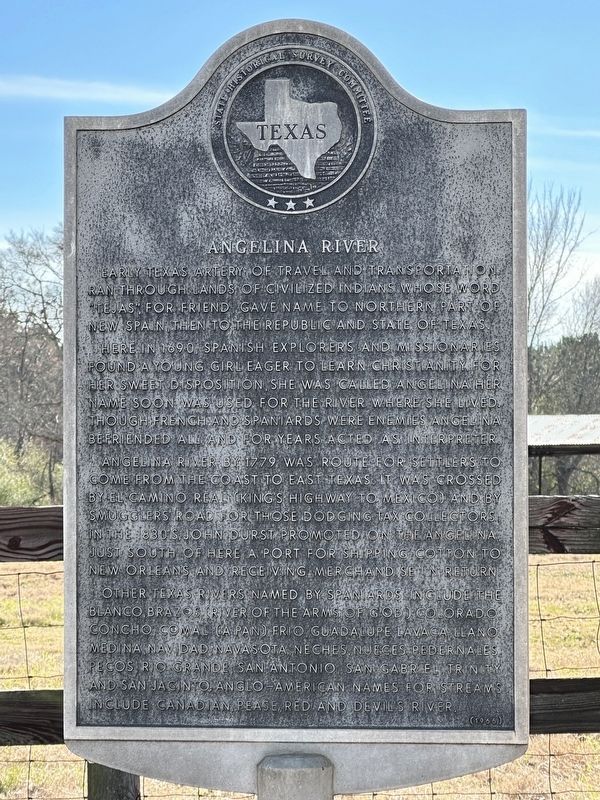
Angelina River
Here in 1690, Spanish explorers and missionaries found a young girl eager to learn Christianity. For her sweet disposition, she was called Angelina. Her name soon was used for the river where she lived. Though French and Spaniards were enemies, Angelina befriended all, and for years acted as interpreter.
Angelina River by 1779 was route for settlers to come from the coast to East Texas. It was crossed by El Camino Real (King's Highway to Mexico) and by Smugglers' Road, for those dodging tax collectors. In the 1830s, John Durst promoted on the Angelina, just south of here, a port for shipping cotton to New Orleans and receiving merchandise in return.
Other Texas rivers named by Spaniards include the Blanco, Brazos (river of the arms of God), Colorado, Concho, Comal (a Pan), Frio, Guadalupe, Lavaca, Llano, Medina, Navidad, Navasota, Neches, Nueces, Pedernales, Pecos, Rio Grande, San Antonio, San Gabriel, Trinity and San Jacinto. Anglo-American names for streams include Canadian, Pease, Red and Devil's River.
Erected 1966 by Texas State Historical Survey Committee . (Marker Number 6610.)
Topics. This historical marker is listed in this topic list: Waterways & Vessels.
Location. 31° 40.144′ N, 94° 57.635′ W. Marker is near Linwood, Texas, in Cherokee County. Marker is on State Highway 21, 1.8 miles east of Farm to Market Road 2708, on the right when traveling east. Touch for map. Marker is in this post office area: Alto TX 75925, United States of America. Touch for directions.
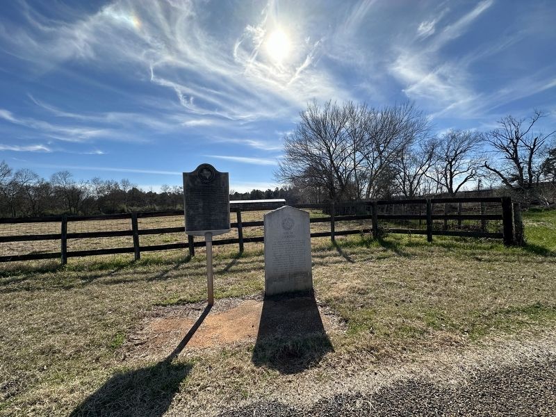
Other nearby markers. At least 8 other markers are within 5 miles of this marker, measured as the crow flies. Site of Linwood (here, next to this marker); Ellis P. Bean (approx. 3.1 miles away); Old Palestine Cemetery (approx. 3.1 miles away); Louis Juchereau de St. Denis (approx. 4.6 miles away); Mission Nuestra Señora de la Purísima Concepción de los Hainais (approx. 4.6 miles away); Presidio Nuestra Señora de los Dolores de los Tejas (approx. 4.6 miles away); San Patricio Rancho (approx. 4.6 miles away); Town of Douglass (approx. 4.6 miles away).
Also see . . . Angelina River - The Handbook of Texas Online. Texas State Historical Association (TSHA) (Submitted on January 7, 2024, by Brian Anderson of Humble, Texas.)
Credits. This page was last revised on January 8, 2024. It was originally submitted on January 7, 2024, by Brian Anderson of Humble, Texas. This page has been viewed 63 times since then. Photos: 1, 2. submitted on January 8, 2024, by Brian Anderson of Humble, Texas.

