San Saba in San Saba County, Texas — The American South (West South Central)
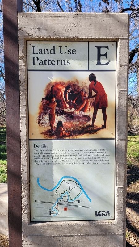
Land Use Patterns
— E —
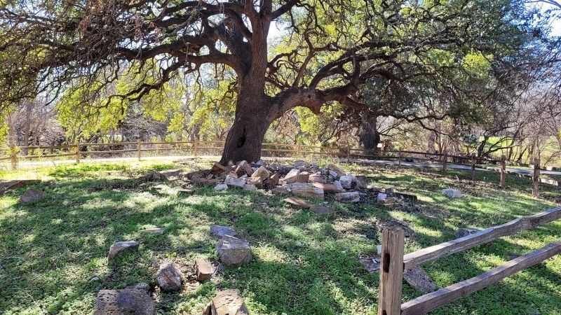
The slightly elevated spot under the giant oak tree is a burned rock midden (mound) feature dating to use of this area by prehistoric Native American people. The burned rock midden is thought to have formed as the prehistoric residents repeatedly used this spot as an earth oven for baking plant foods as shown in the picture above. Much later, a house constructed around the year 1900 stood at this location. Today, only the firebox of the chimney is present.
Erected by Lower Colorado River Authority (LCRA).
Topics. This historical marker is listed in this topic list: Native Americans. A significant historical year for this entry is 1900.
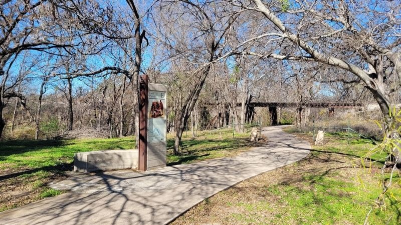
Location. 31° 11.83′ N, 98° 42.675′ W. Marker is in San Saba, Texas, in San Saba County. Marker is on East Wallace Street (U.S. 190) 0.1 miles east of Mill Street. The marker is located at the San Saba River Nature Park near the train tracks. Touch for map. Marker is at or near this postal address: 1007 E Wallace Street, San Saba TX 76877, United States of America. Touch for directions.
Other nearby markers. At least 8 other markers are within walking distance of this marker. Waterworks Features (within shouting distance of this marker); First Waterworks (about 300 feet away, measured in a direct line); Mill Creek (about 300 feet away); Edmund E. Risien (about 400 feet away); Edmond E. Risien (about 400 feet away); San Saba (about 600 feet away); Mill Pond House (approx. 0.2 miles away); Alma Ward Hamrick (approx. 0.2 miles away). Touch for a list and map of all markers in San Saba.
Credits. This page was last revised on January 7, 2024. It was originally submitted on January 7, 2024, by James Hulse of Medina, Texas. This page has been viewed 45 times since then. Photos: 1, 2, 3. submitted on January 7, 2024, by James Hulse of Medina, Texas.


