Central Business District in Cincinnati in Hamilton County, Ohio — The American Midwest (Great Lakes)
Experimentation and Change
Journey Through History
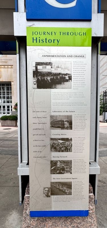
Building an effective, efficient and modern public transit system has always demanded a willingness to experiment and change. Sometimes that meant experimenting with new technologies and new equipment. At one point just before World War II, Cincinnati was regarded as the "nation's laboratory" for innovation in transit equipment.
At other times it has meant organizational change. In 1973 the Southwest Ohio Regional Transit authority (SRTA) and the City of Cincinnati partnered to create "Metro," Cincinnati's first publicly owned and operated transit system.
Since then, Metro has purchased several generations of improved buses and twice modernized passenger facilities in Government Square.
Laboratory of the Future
In the 1930s no American city experimented more with public transit than Cincinnati. Besides traditional streetcars and buses, the Cincinnati Street Railway Company put trolley buses into service in 1936, and the sleek PCC (President's Conference Committee) cars in service in 1939.
Creating Metro
In 1973, SORTA and the City of Cincinnati signed a formal partnership to revitalize bus service in the area. Metro soon unveiled its new look by refurbishing and repainting several old ivory and orange buses in the new blue and white color scheme.
Moving Forward
Since 1973 Metro has introduced comfortable, efficient buses. In the 1990s, Metro was one of the first systems in the nation to use soybean-based fuel. Metro now serves passengers with various disabilities thanks to wheelchair lifts and automated voice announcements.
The New Government Square
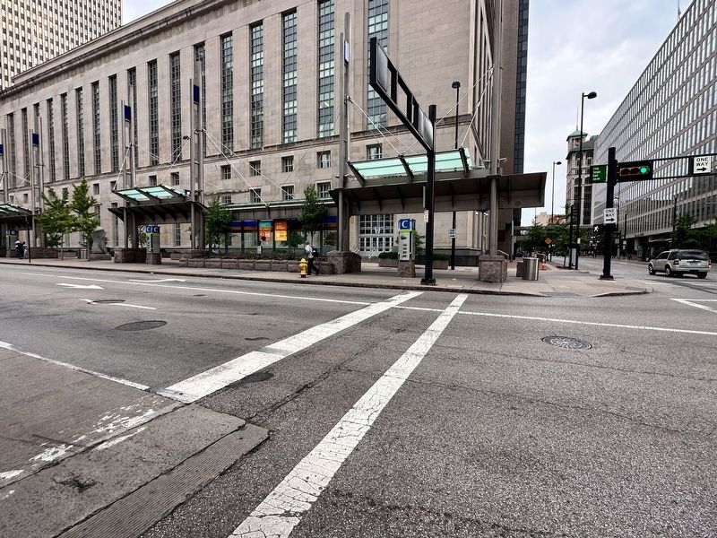
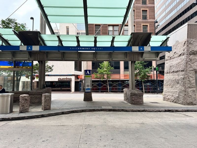
In 1977 Metro and the City of Cincinnati re-designed Government Square to promote efficiency of bus traffic and passenger comfort. In 1985 City Council named the Square for Charles P. Taft 2nd, the youngest son of a president who served on city council for 30 years. The sleek bus shelters protected riders into the twenty-first century when advancements in traffic engineering, and the desire to improve safety and better served customers with disabilities, led to a redesign in 2006.
Topics. This historical marker is listed in this topic list: Roads & Vehicles. A significant historical date for this entry is December 30, 1952.
Location. 39° 6.095′ N, 84° 30.596′ W. Marker is in Cincinnati, Ohio, in Hamilton County. It is in the Central Business District. Marker is at the intersection of East 5th Street and Main Street, on the right when traveling west on East 5th Street. Touch for map. Marker is at or near this postal address: 110 E 5th Street, Cincinnati OH 45202, United States of America. Touch for directions.
Other nearby markers. At least 8 other markers are within walking distance of this marker. First Place of Cincinnati Worship (within shouting distance of this marker); Lincoln Speech (about 300 feet away, measured in a direct line); Kennedy Speech (about 400 feet away); Margaret & Elias Longley (about 500 feet away); Procter & Gamble (about 600 feet away); Christ Church Cathedral (about 700 feet away); Votes for Women (about 700 feet away); Church of Saint Francis Xavier (approx. 0.2 miles away). Touch for a list and map of all markers in Cincinnati.
Credits. This page was last revised on January 18, 2024. It was originally submitted on January 11, 2024, by J.T. Lambrou of New Boston, Michigan. This page has been viewed 46 times since then. Photos: 1, 2, 3. submitted on January 11, 2024, by J.T. Lambrou of New Boston, Michigan. • Bill Pfingsten was the editor who published this page.


