Batesburg-Leesville in Lexington County, South Carolina — The American South (South Atlantic)
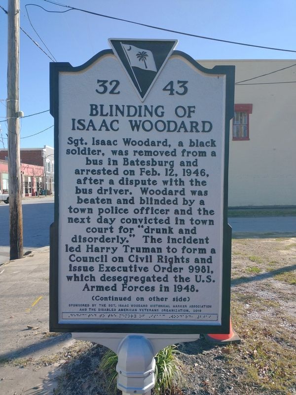
Blinding of Isaac Woodard
Sgt. Isaac Woodard, a black soldier, was removed from a bus in Batesburg and arrested on Feb. 12, 1946, after a dispute with the bus driver. Woodard was beaten and blinded by a town police officer and the next day convicted in town court for “drunk and disorderly.” The incident led Harry Truman to form a Council on Civil Rights and issue Executive Order 9981, which desegregated the U.S. Armed Forces in 1948.
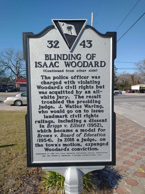
(Reverse)
The police officer was charged with violating Woodard’s civil rights but was acquitted by an all-white jury. The result troubled the presiding judge, J. Waties Waring, who would go on to issue landmark civil rights rulings, including a dissent in Briggs v. Elliott (1952), which became a model for Brown v. Board of Education (1954). In 2018 a judge, on the town’s motion, expunged Woodard’s conviction.
Erected 2019 by Sponsored by the Sgt. Isaac Woodard Historical Marker Association and The Disabled American Veterans Organization. (Marker Number 32 43.)
Topics. This historical marker is listed in this topic list: Civil Rights. A significant historical date for this entry is February 12, 1946.
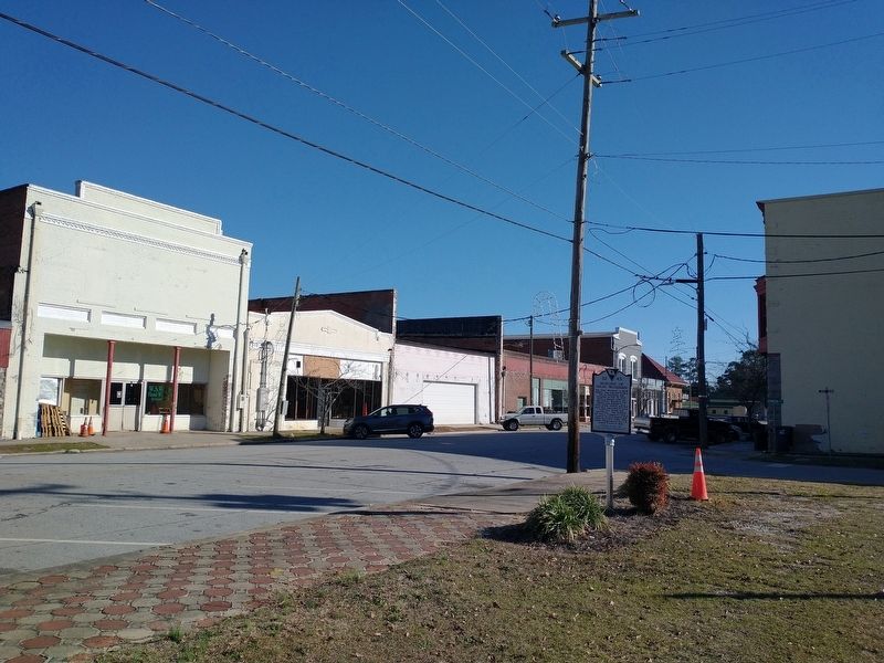
Location. 33° 54.413′ N, 81° 32.958′ W. Marker is in Batesburg-Leesville, South Carolina, in Lexington County. Marker is at the intersection of Fulmer Street (South Carolina Route 23) and West Church Street, on the left when traveling north on Fulmer Street. Touch for map. Marker is in this post office area: Batesburg SC 29006, United States of America. Touch for directions.
Other nearby markers. At least 8 other markers are within 7 miles of this marker, measured as the crow flies. Batesburg Institute (approx. 0.4 miles away); Site of the "Swamp Rabbit" Bridge / The Swamp Rabbit (approx. 0.9 miles away); Old Batesburg-Leesville High School (approx. 1.2 miles away); Lee's Tavern Site (approx. 1.3 miles away); Hartley House (approx. 1.9 miles away); Moorefield Memorial Highway (approx. 4.6 miles away); Jacob Odom House (approx. 5˝ miles away); Pinarea / Quattlebaum Sawmill, Flour Mill, and Rifle Factory (approx. 6.6 miles away). Touch for a list and map of all markers in Batesburg-Leesville.
Also see . . . Isaac Woodard. (Submitted on January 12, 2024, by Tom Bosse of Jefferson City, Tennessee.)
Credits. This page was last revised on January 30, 2024. It was originally submitted on January 12, 2024, by Tom Bosse of Jefferson City, Tennessee. This page has been viewed 78 times since then. Photos: 1, 2, 3. submitted on January 12, 2024, by Tom Bosse of Jefferson City, Tennessee. • Bill Pfingsten was the editor who published this page.


