San Miguel de Cozumel in Cozumel, Quintana Roo, Mexico — The Yucatan Peninsula (The Southeast)
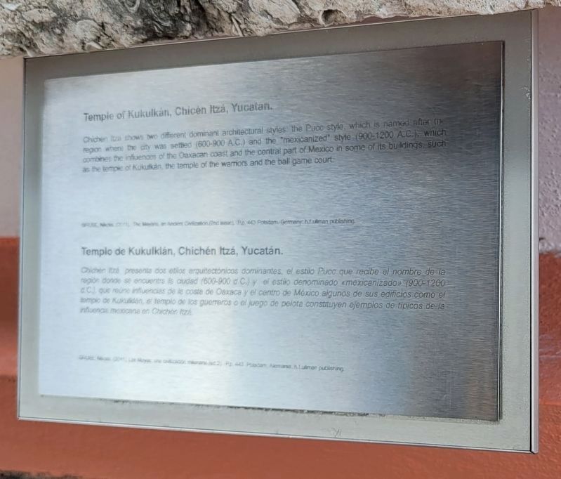
Temple of Kukulkán, Chichén Itzá, Yucatan
GRUBE, Nikola (2011), The Mayans, an Ancient Civilization. (2nd issue). P.p. 430. Potsdam, Germany: h.f. ullman publishing.
Spanish:
Chichén Itzá presenta dos etilos arquitectónicos dominantes, el estilo Puce que recibe el nombre de la region donde se encuentra la ciudad (600-900 d.C.) y el estilo denominado mexicanizado (900-1200 d.C.) que reune influencias de la coste de Oaxaca y el centro de México algunos de sus edificios como el templo de Kukulklán, el templo de los guerreros o el juego de pelota constituyen ejemplos de tipicos de la influencia mexicana en Chichén Itzá.
GRUBE, Nikola (2011). Los Mayas, una civilización milionaria (ed 2). P.p. 430. Potsdam, Alemania: h.f. ullman publishing.
Topics. This historical marker is listed in these topic lists: Churches & Religion • Native Americans.
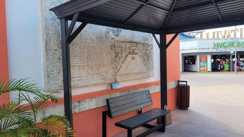
Location. 20° 28.719′ N, 86° 58.448′ W. Marker is in San Miguel de Cozumel, Quintana Roo, in Cozumel. Marker is at the intersection of Carretera Costera Sur and Av Claudio Canto on Carretera Costera Sur. The marker is located in central section of the International Cruise Terminal Cozumel. Touch for map. Marker is at or near this postal address: Carr Costera Sur 6, San Miguel de Cozumel QR 77675, Mexico. Touch for directions.
Other nearby markers. At least 8 other markers are within walking distance of this marker. Haab (a few steps from this marker); Tzolkin (a few steps from this marker); Chak Mo'ol (within shouting distance of this marker); Hunab Ku, The One God / Hunab Ku, Dios Solitario (within shouting distance of this marker); Kimi, God of Death / Kimi, Dios de la muerte (within shouting distance of this marker); The Temple of the Cross / El templo de la Cruz (within shouting distance of this marker); K'uk'ulkan, Feathered Serpent / K'uk'ulkan, Serpiente emplumada (within shouting distance of this marker); Land of Chocolate (approx. 0.3 kilometers away). Touch for a list and map of all markers in San Miguel de Cozumel.
Also see . . . Chichen Itza. Wikipedia (Submitted on January 13, 2024, by James Hulse of Medina, Texas.)
Credits. This page was last revised on January 13, 2024. It was originally submitted on January 12, 2024, by James Hulse of Medina, Texas. This page has been viewed 47 times since then. Photos: 1, 2. submitted on January 13, 2024, by James Hulse of Medina, Texas.

