Sanilac Township in Port Sanilac in Sanilac County, Michigan — The American Midwest (Great Lakes)
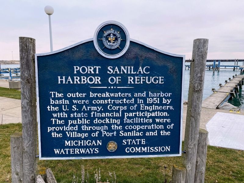
Port Sanilac Harbor of Refuge
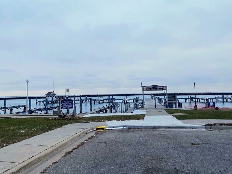
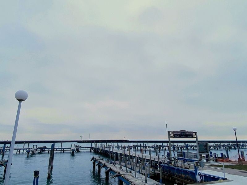
The outer breakwaters and harbor basin were constructed in 1951 by the U. S. Army. Corps of Engineers, with state financial participation. The public docking facilities were provided through the cooperation of the Village of Port Sanilac and the Michigan State Waterways Commission.
Erected by Michigan State Waterways Commission.
Topics. This historical marker is listed in this topic list: Waterways & Vessels. A significant historical year for this entry is 1951.
Location. 43° 25.867′ N, 82° 32.327′ W. Marker is in Port Sanilac, Michigan, in Sanilac County. It is in Sanilac Township. Marker is at the intersection of Main Street and Oldfield Lane, on the left when traveling west on Main Street. Touch for map. Marker is at or near this postal address: 7376 Main Street, Port Sanilac MI 48469, United States of America. Touch for directions.
Other nearby markers. At least 8 other markers are within walking distance of this marker. The "North Star" Anchor (a few steps from this marker); Screw (about 700 feet away, measured in a direct line); Port Sanilac Light Station - 1886 (approx. 0.2 miles away); Masonic and Town Hall (approx. 0.2 miles away); Ward Cottage (approx. half a mile away); The Decker Crib Barn (approx. half a mile away); Anchor (approx. half a mile away); Loop-Harrison House (approx. half a mile away). Touch for a list and map of all markers in Port Sanilac.
Also see . . . Port Sanilac Harbor of Refuge. (Submitted on January 13, 2024, by J.T. Lambrou of New Boston, Michigan.)
Credits. This page was last revised on January 15, 2024. It was originally submitted on January 13, 2024, by J.T. Lambrou of New Boston, Michigan. This page has been viewed 43 times since then. Photos: 1, 2, 3. submitted on January 13, 2024, by J.T. Lambrou of New Boston, Michigan. • J. Makali Bruton was the editor who published this page.


