Grosse Ile Township in Wayne County, Michigan — The American Midwest (Great Lakes)
Grosse Ile Treaty Tree
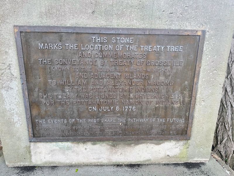
This stone marks the location of the treaty tree and commemorates the conveyance by treaty of Gross Ile (known to the Indians as Kitche-Minishon) and adjacent islands to William and Alexander Macomb by the Pottawatomie Indians the treaty was signed by eighteen chiefs for the Pottawatomie Nation of Indians on July 6, 1776
The events of the past shape the pathway of the future
Erected 1906 by Woman's Improvement Association of Grosse Ile.
Topics. This historical marker is listed in these topic lists: Native Americans • Peace • Settlements & Settlers. A significant historical date for this entry is July 6, 1776.
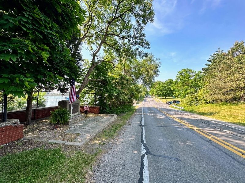
Location. 42° 7.903′ N, 83° 8.31′ W. Marker is in Grosse Ile Township, Michigan, in Wayne County. Marker is on East River Road near Grays Drive, on the right when traveling north. Touch for map. Marker is at or near this postal address: 23950 East River Road, Grosse Ile MI 48138, United States of America. Touch for directions.
Other nearby markers. At least 8 other markers are within walking distance of this marker. The Livingstone Channel (approx. 0.4 miles away); Across the Water (approx. 0.4 miles away); Rails Through Grosse Ile (approx. 0.4 miles away); Michigan Central Railroad (approx. 0.4 miles away); The End of the Line (approx. 0.4 miles away); Recording Movements (approx. 0.4 miles away); St. James Episcopal Chapel (approx. half a mile away); Military Outpost (approx. 0.8 miles away).
Also see . . . The Treaty Tree And Memorial Tablet, Grosse Ile. Excerpt:
Suppose, for instance, that Grosse Ile instead of being purchased by Willam and Alexander Macomb, had become the possession of someone identified with the Dominion of Canada. Then the division of the waters of the great Detroit River might have been changed. But the island was purchased by merchants of Detroit, and its history became identified with the western mainland.(Submitted on January 14, 2024, by J.T. Lambrou of New Boston, Michigan.)
Credits. This page was last revised on January 17, 2024. It was originally submitted on January 14, 2024, by J.T. Lambrou of New Boston, Michigan. This page has been viewed 71 times since then. Photos: 1, 2, 3, 4, 5. submitted on January 14, 2024, by J.T. Lambrou of New Boston, Michigan. • J. Makali Bruton was the editor who published this page.


