Houlton in St. Croix County, Wisconsin — The American Midwest (Great Lakes)
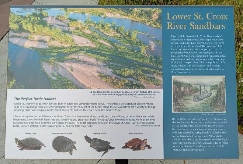
Lower St. Croix River Sandbars
If you paddle down the St. Croix River south of Osceola on a summer day, you might come across families and individuals enjoying one of the lower river features... the sandbar! The sandbars of the lower river owe their existence partly to natural progression but mostly to the logging era. In the past, the St. Croix was controlled by multiple gated dams, levees, and wing dams to regular water flow during log transportation. This manipulation of the river, coupled with deforestation and erosion, caused large amounts of sediment-laden water to flow downstream.
By the 1880s, the once-navigable river became too shallow for steamboats, and they became stranded on the sandbars that we enjoy today. Even now, the sandbar landscape changes every year as new sediment carried by the spring floods is added to the mix or transported downstream. Although the sand is never the same, the experience of feeling between your toes is always enjoyable. Don't forget to stand still in the knee-deep water and feel the minnows nibble at your feet!
Sandbars, like the ones shown above, are a key feature of the Lower St. Croix River, and are enjoyed by rivergoers and wildlife alike.
Photo by Marek Photo Design
The Perfect Turtle Habitat
Turtles lay leathery eggs which females bury in sandy soil using their sharp claws. The sandbars are a popular place for these eggs to be buried as there are fewer predators to eat them. Most of the turtles along the St. Croix River eat a variety of things, including plants and animals. Turtles don't have teeth but use their hard beak-like mouths to cut.
Like most reptiles, turtles hibernate in winter. They bury themselves along the shores, the sandbars, or under the water. While hibernating they slow their heart rate and breathing, and stop most body functions. Once the weather turns warm again, they reappear and become a common sight along the river. The most common turtles on the Lower St. Croix River are the painted turtle, smooth softshell turtle, snapping turtle, and the false map turtle.
Source: National Park Service
Topics. This historical marker is listed in these topic lists: Animals • Industry & Commerce • Waterways & Vessels. A significant historical year for this entry is 1880.
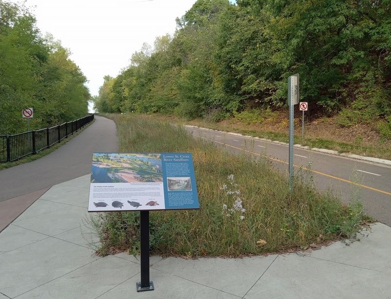
Location. 45° 3.587′ N, 92° 47.744′ W. Marker is in Houlton, Wisconsin, in St. Croix County. Marker is on the St. Croix River Crossing Loop Trail. The marker is at a rest plaza halfway up Houlton Hill. Touch for map. Marker is in this post office area: Houlton WI 54082, United States of America. Touch for directions.
Other nearby markers.
At least 8 other markers are within walking distance of this marker. Town of St. Joseph (here, next to this marker); Houlton Hill History (about 600 feet away, measured in a direct line); Lower St. Croix Scenic Riverway (about 600 feet away); Glacial Landscape (approx. 0.3 miles away); Loop Trail Fun Facts (approx. 0.3 miles away); Western Prairie Restoration (approx. half a mile away); 1965 Easter Sunday Floodwater Crest (approx. half a mile away in Minnesota); Stillwater-Houlton Interstate Bridge (approx. half a mile away in Minnesota). Touch for a list and map of all markers in Houlton.
Credits. This page was last revised on January 16, 2024. It was originally submitted on January 15, 2024, by McGhiever of Minneapolis, Minnesota. This page has been viewed 43 times since then. Photos: 1, 2. submitted on January 15, 2024, by McGhiever of Minneapolis, Minnesota. • J. Makali Bruton was the editor who published this page.

