Hammond's Ferry in North Augusta in Aiken County, South Carolina — The American South (South Atlantic)
The Power of the Savannah River
Flooding and Engineering
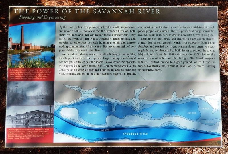
By the time the first Europeans settled in the North Augusta area in the early 1700s, it was clear that the Savannah River was both their livelihood and their connection to the outside world. They fished the river, as their Native American neighbors did, and traveled its waterways to reach hunting grounds and upriver trading communities. All the while, they never lost sight of how powerful the river was in their lives.
As their descendants prospered and built larger communities, they began to settle farther upriver. Large trading vessels could not navigate upstream past the shoals. To overcome this obstacle, the Augusta Canal was built in 1845. Commerce between South Carolina and Georgia depended upon being able to cross the river. Initially, settlers on the South Carolina side had to paddle, row, or sail across the river. Several ferries were established to haul goods, people, and animals. The first permanent bridge across the river was built in 1814, near what is now Fifth Street in Augusta.
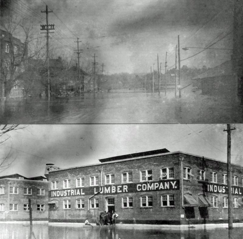
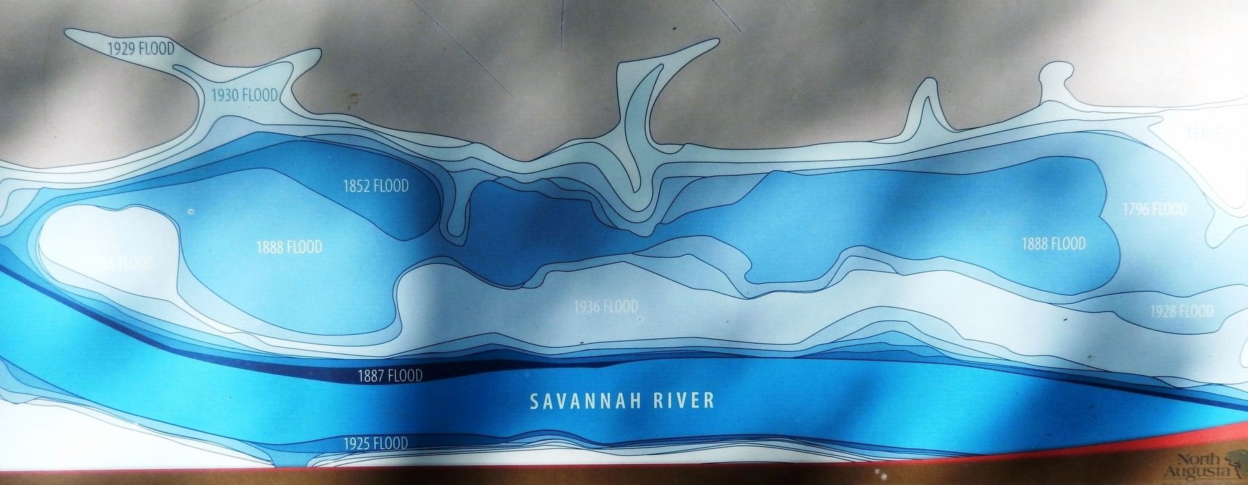
Beginning in the 1800s, land cleared to plant cotton created a great deal of soil erosion, which kept rainwater from being absorbed and swelled the rivers. Massive floods began to occur regularly, and residents had to build levees to protect the towns. Major floods from the 1880s through the 1930s led to the construction of taller, sturdier bridges. The North Augusta industrial district moved to higher ground, where it remains today. Eventually the Savannah River was dammed, taming its destructive force.
Topics. This historical marker is listed in these topic lists: Bridges & Viaducts • Industry & Commerce • Settlements & Settlers • Waterways & Vessels. A significant historical year for this entry is 1845.
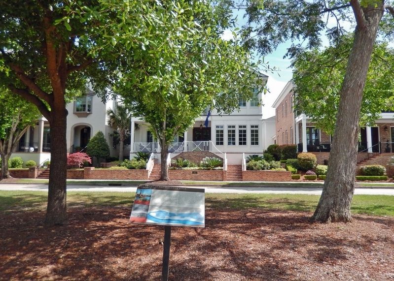
Location. 33° 29.207′ N, 81° 59.068′ W. Marker is in North Augusta, South Carolina, in Aiken County. It is in Hammond's Ferry. Marker can be reached from Front Street just west of Phoenix Street, on the left when traveling west. The marker is located along the North Augusta Greeneway. Touch for map. Marker is at or near this postal address: 526 Front Street, North Augusta SC 29841, United States of America. Touch for directions.
Other nearby markers. At least 8 other markers are within walking distance of this marker. Boeckh Park (about 600 feet away, measured in a direct line); Crossroads of the Southeast (approx. 0.2 miles away); Riverfront Village (approx. ¼ mile away); Confederate Powder Works (approx. 0.4 miles away in Georgia); The Confederate States Powder Works (approx. half a mile away in Georgia); Confederate Obelisk-Chimney (approx. half a mile away in Georgia); Sharon Lafaye Jones (approx. half a mile away); The Augusta Canal (approx. 0.6 miles away in Georgia). Touch for a list and map of all markers in North Augusta.
Also see . . .
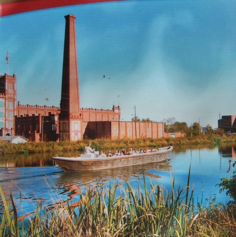
Courtesy Augusta Canal Natural Heritage Area
2. Marker detail: The Augusta Canal
In 1845, the power of the Savannah River was harnessed into the longest lasting canal system in the southern United States. The Augusta Canal still serves its original purpose: power, transportation, recreation, and a wildlife refuge.
1. The Augusta Canal National Heritage Area. Excerpt:
The Augusta Canal, built in 1845 as a source of power, water and transportation, is the only intact industrial canal in the American South in continuous use. Spearheaded by Augusta native Henry H. Cumming, who perceived that Augusta could one day become “the Lowell of the South,” the Augusta Canal began to fulfill Cumming’s vision in short order. By 1847 the first factories – a saw and grist mill and the Augusta Factory-were built, the first of many that would eventually line the Canal.(Submitted on January 15, 2024, by Cosmos Mariner of Cape Canaveral, Florida.)
2. The Augusta Canal (Wikipedia). Excerpt:
Flooding was a big problem in Augusta during the early 20th century. Following major floods in the 1920s and 1930s, the Federal Works Progress Administration deployed hundreds of workers to make repairs and improvements, build a new spillway and to straighten the canal.(Submitted on January 15, 2024, by Cosmos Mariner of Cape Canaveral, Florida.)
Credits. This page was last revised on January 15, 2024. It was originally submitted on January 15, 2024, by Cosmos Mariner of Cape Canaveral, Florida. This page has been viewed 60 times since then. Photos: 1, 2, 3, 4, 5. submitted on January 15, 2024, by Cosmos Mariner of Cape Canaveral, Florida.
