Jayton in Kent County, Texas — The American South (West South Central)
Kent County
Photographed by Mark Hilton, July 7, 2017
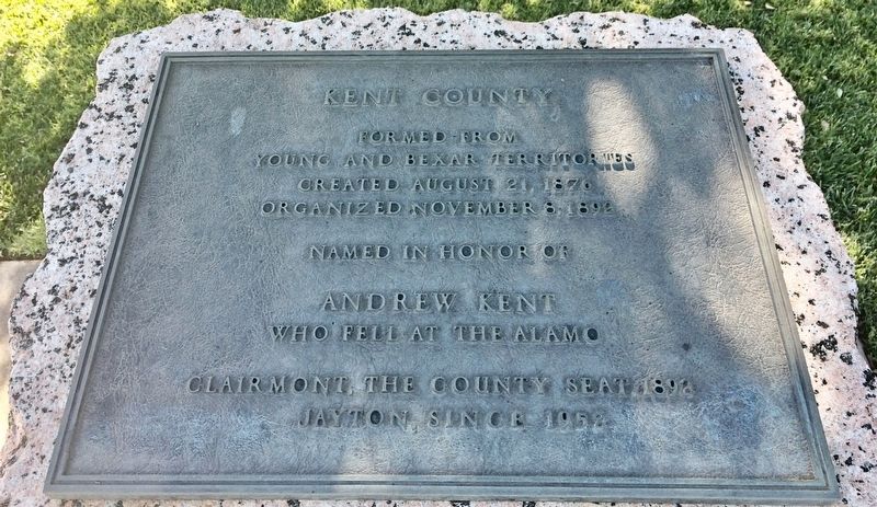
1. Kent County Marker
Young and Bexar territories
Created August 21, 1876
Organized November 8, 1892
Named in honor of
Andrew Kent
who fell at the Alamo
Clairmont, the County Seat, 1892
Jayton, since 1952
Erected 1936 by the State of Texas. (Marker Number 2926.)
Topics and series. This historical marker is listed in this topic list: War, Texas Independence. In addition, it is included in the Texas 1936 Centennial Markers and Monuments series list. A significant historical date for this entry is August 21, 1876.
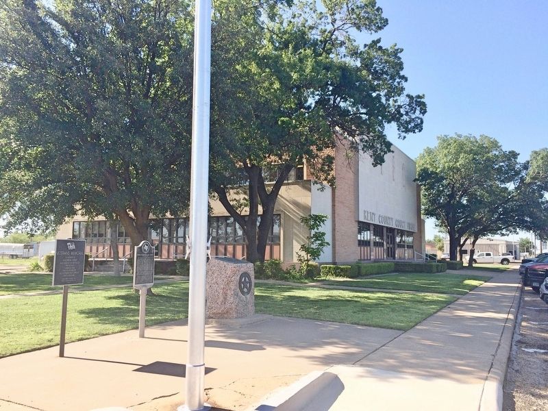
Location. 33° 14.869′ N, 100° 34.411′ W. Marker is in Jayton, Texas, in Kent County. It is at the intersection of North Main Street (Texas Route 70) and East 4th Street, on the right when traveling north on North Main Street. Located on the north side of the Kent County Courthouse grounds. Touch for map. Marker is at or near this postal address: 101 N Main St, Jayton TX 79528, United States of America. Touch for directions.

Regionally, this marker is in Big Country. It is also on the American Great Plains and specifically on the Southern Plains. Globally, it is in North America, a Gulf of Mexico state, the
this page online
Other nearby markers. At least 4 other markers are within 12 miles of this marker, measured as the crow flies: Double Mountain Salt Works (here, next to this marker); First National Bank Building (within shouting distance of this marker); Quanah Parker Trail (approx. 0.7 miles away); Putoff Canyon (approx. 3.1 miles away).
Another marker is no longer nearby. Old Kent County Jail (was approx. 11.8 miles away but has been replaced with another marker now near it).
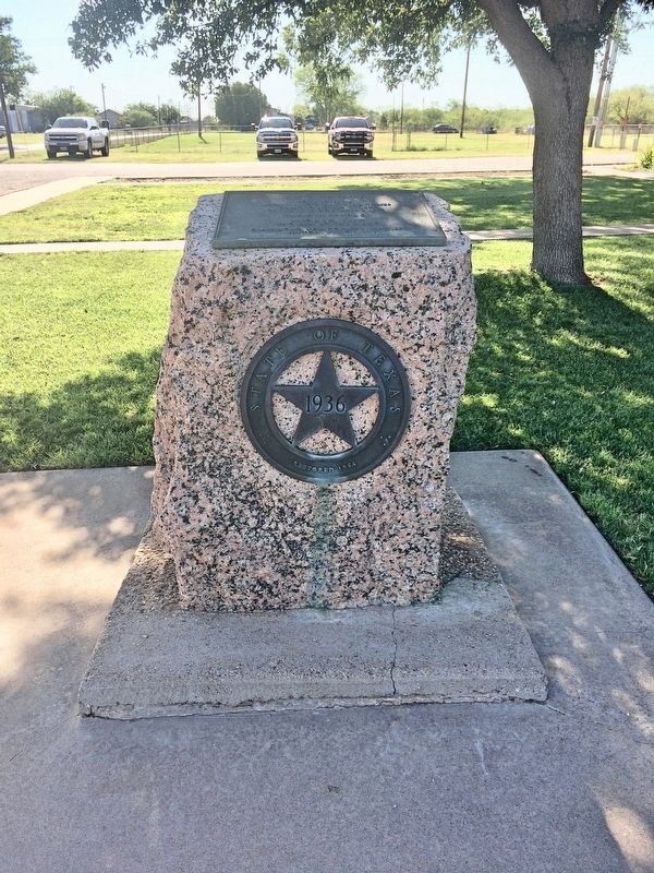
More about this marker. This is one of the pink granite, 1936 Centennial Highway markers.
Also see . . . The Texas State Historical Association article on Kent County. (Submitted on July 7, 2017, by Mark Hilton of Montgomery, Alabama.)
Photographed by Mark Hilton, July 7, 2017
2. Kent County - 1936 Texas Centennial marker.
Photographed by Mark Hilton, July 7, 2017
3. Kent County Marker next to the Kent County Courthouse.
Credits. This page was last revised on January 17, 2024. It was originally submitted on July 7, 2017, by Mark Hilton of Montgomery, Alabama. This page has been viewed 496 times since then and 32 times this year. Last updated on January 16, 2024, by Jeff Leichsenring of Garland, Texas. Photos: 1, 2, 3. submitted on July 7, 2017, by Mark Hilton of Montgomery, Alabama. • James Hulse was the editor who published this page.
