Red Wing in Goodhue County, Minnesota — The American Midwest (Upper Plains)
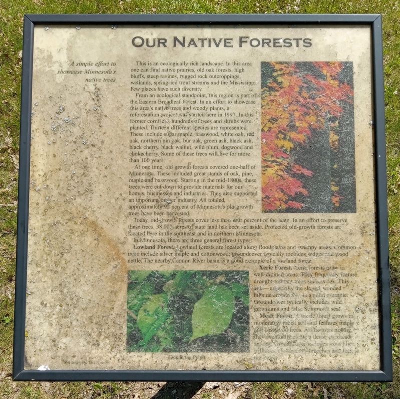
Our Native Forests
A simple effort to showcase Minnesota's native trees.
This is an ecologically rich landscape. In this area one can find native prairies, old oak forests, high bluffs, steep ravines, rugged rock outcroppings, wetlands, spring-fed trout streams and the Mississippi. Few places have such diversity.
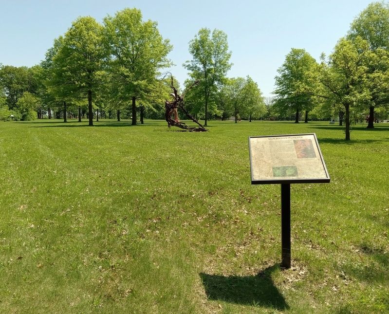
From an ecological standpoint, this region is part of the Eastern Broadleaf forest. In an effort to showcase this area's native trees and woody plants, a reforestation project was started here in 1997. In this former cornfield, hundreds of trees and shrubs were planted. Thirteen different species are represented. These include sugar maple, basswood, white oak, red oak, northern pin oak, bur oak, green ash, black ash, black cherry, black walnut, wild plum, dogwood and chokecherry. Some of these trees will live for more than 100 years.
At one time, old growth forests covered one-half of Minnesota. These included great stands of oak, pine, maple and basswood. Starting in the mid-1800s, these trees were cut down to provide materials for our homes, businesses and industries. They also supported an important timber industry. All totaled, approximately 92 percent of Minnesota's old-growth trees have been harvested.
Today, old-growth forests cover less than four percent of the state. In an effort to preserve these trees, 38,000 acres of state land has been set aside. Protected, old-growth forests are located here in the southeast and in northern Minnesota.
In Minnesota, there are three general forest types:
Lowland Forest. Lowland forests are located along floodplains and swampy areas. Common trees include silver maple and cottonwood; groundcover typically includes sedges and wood nettle. The nearby Cannon River basin is a good example of a lowland forest.
Xeric Forest. Xeric forests grow in well-drained areas. They frequently feature drought-tolerant trees such as oak. This area—especially the sloped, wooded hillsides around [?] is a good example. Groundcover typically includes wild geraniums and false Solomon's seal.
Mesic Forest. A mesic forest grows in moderately moist soil and features maple and basswood trees. As leaves mature they eventually create a dense overhead canopy. Groundcover includes trout lilies, trilliums, [??] and Jack-in-the-pulpit.
Jack-in-the-Pulpit
Topics. This historical marker is listed in these topic lists: Environment • Horticulture & Forestry • Industry & Commerce.
Location. 44° 34.328′ N, 92° 38.411′ W. Marker is in Red Wing, Minnesota, in Goodhue
County. Marker can be reached from Tower View Drive. The marker is in the Anderson Center Sculpture Garden, near the centerpoint of the northern edge. Touch for map. Marker is at or near this postal address: 161 Tower View Drive, Red Wing MN 55066, United States of America. Touch for directions.
Other nearby markers. At least 8 other markers are within 5 miles of this marker, measured as the crow flies. Early Inhabitants (within shouting distance of this marker); Oak Trees in the Tallgrass Prairie (about 400 feet away, measured in a direct line); Restoring the Land (about 400 feet away); Anderson Center and Outdoor Sculpture Garden (about 500 feet away); Military Roads (approx. 0.2 miles away); Red Wing Archaeological Preserve (approx. 0.6 miles away); The Belle Creek Watershed (approx. 3.8 miles away); Cannon Valley Trail Archaeology (approx. 4.9 miles away). Touch for a list and map of all markers in Red Wing.
Credits. This page was last revised on January 17, 2024. It was originally submitted on January 16, 2024, by McGhiever of Minneapolis, Minnesota. This page has been viewed 83 times since then. Photos: 1, 2. submitted on January 16, 2024, by McGhiever of Minneapolis, Minnesota. • J. Makali Bruton was the editor who published this page.

