Central Business District in New Orleans in Orleans Parish, Louisiana — The American South (West South Central)
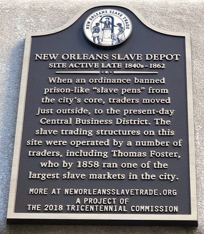
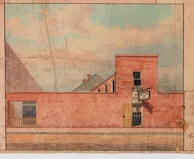
New Orleans Slave Depot
Site Active Late 1840s–1862
Erected 2018 by New Orleans Tricentennial Commission.
Topics. This historical marker is listed in these topic lists: African Americans • Civil Rights. A significant historical year for this entry is 1858.
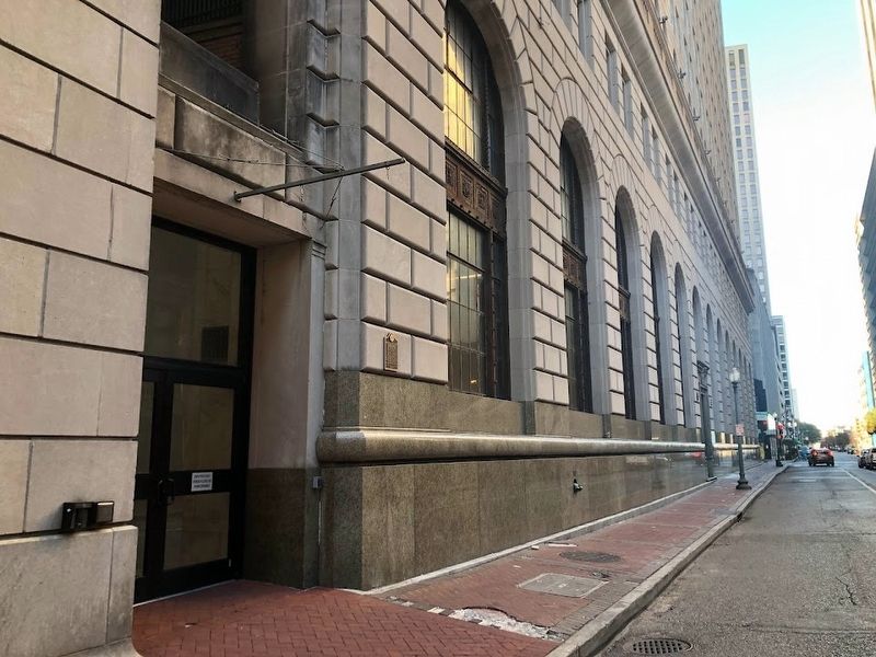
Location. 29° 57.177′ N, 90° 4.287′ W. Marker is in New Orleans, Louisiana, in Orleans Parish. It is in the Central Business District. Marker is on Common Street east of Baronne Street, on the left when traveling west. The marker is on the Common Street side of the Four Winds apartment building, near a door on the building's northern side. Touch for map. Marker is at or near this postal address: 210 Baronne Street, New Orleans LA 70112, United States of America. Touch for directions.
Other nearby markers. At least 8 other markers are within walking distance of this marker. Immaculate Conception Church (about 300 feet away, measured in a direct line); 127-129 Carondelet Street (about 300 feet away); Canal Street Under French and Spanish Rule (1718-1803) (about 500 feet away); Sears Building (about 500 feet away); Jefferson Highway (about 600 feet away); Bank of Louisiana in New Orleans (approx. 0.2 miles away); Merchants Mutual Insurance Company Building (approx. 0.2 miles away); Louis Armstrong (approx. 0.2 miles away). Touch for a list and map of all markers in New Orleans.
Also see . . .
1. Audio Tour: 156-157 Common Street New Orleans Slave Depot. Stop #8: First-Person Testimony of William Wells Brown. (Submitted on January 17, 2024, by Sean Flynn of Oak Park, Illinois.)
2. New Orleans, Slave Market of the South. (Submitted on January 17, 2024, by Sean Flynn of Oak Park, Illinois.)
Credits. This page was last revised on January 18, 2024. It was originally submitted on January 17, 2024, by Sean Flynn of Oak Park, Illinois. This page has been viewed 91 times since then. Photos: 1, 2, 3. submitted on January 17, 2024, by Sean Flynn of Oak Park, Illinois.


