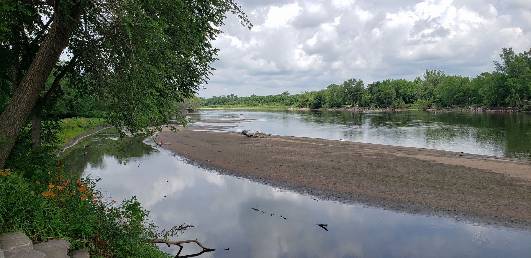
Vinton in Benton County, Iowa — The American Midwest (Upper Plains)
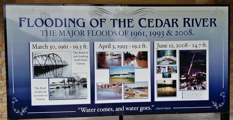
Flooding of the Cedar River
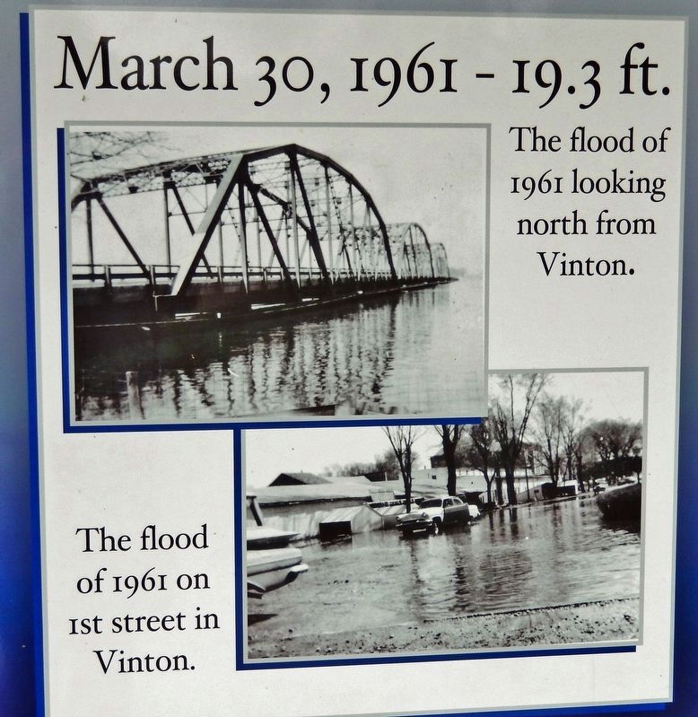
March 30, 1961 19.3 ft.Water comes, and water goes.
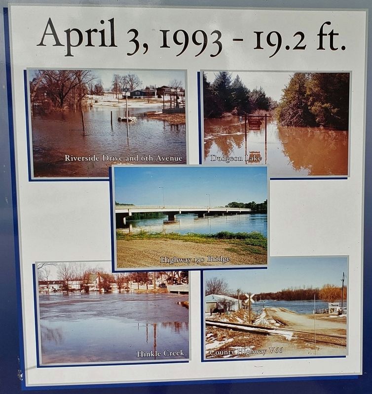
April 3, 1993 19.2 ft.
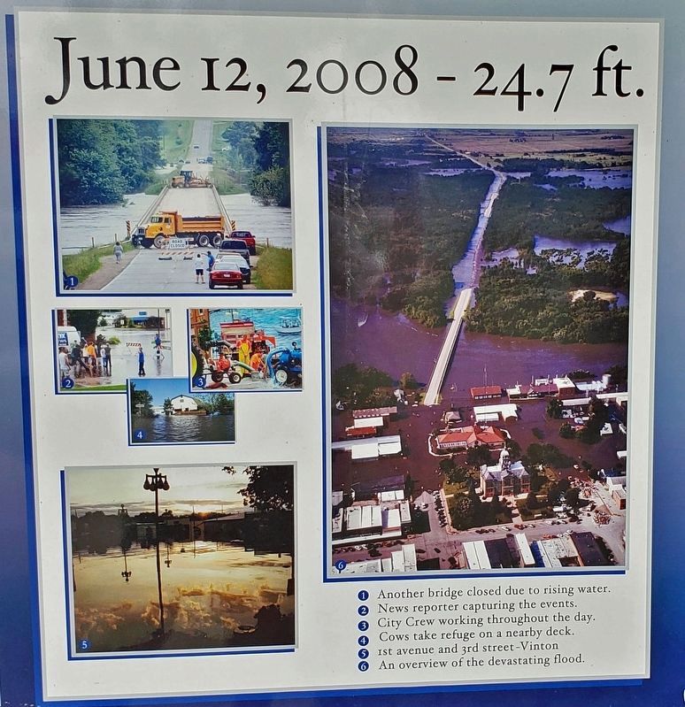
June 12, 2008 24.7 ft.
Chuck Yedlik
Topics. This historical marker is listed in these topic lists: Disasters • Waterways & Vessels.
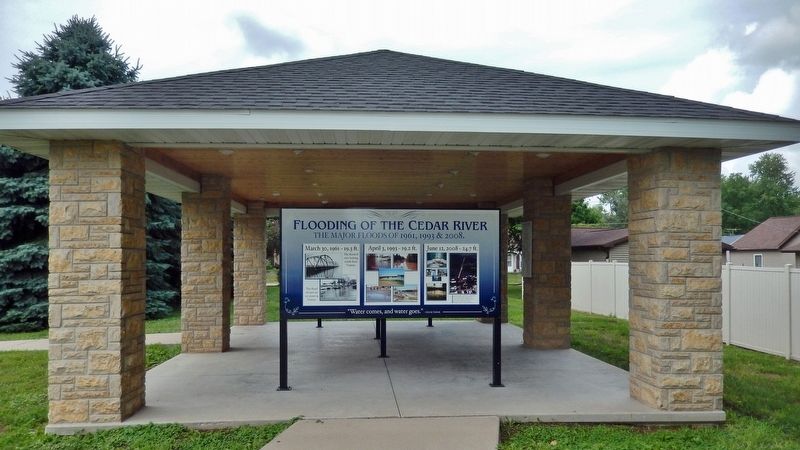
Location. 42° 10.212′ N, 92° 1.501′ W. Marker is in Vinton, Iowa, in Benton County. Marker can be reached from the intersection of A Avenue and West 1st Street, on the right when traveling north. The marker is located in the Cedar River interpretive kiosk at the Harrison Pavilion on the north side of Celebration Park. Touch for map. Marker is at or near this postal address: 105 West 2nd Street, Vinton IA 52349, United States of America. Touch for directions.
Other nearby markers. At least 8 other markers are within walking distance of this marker. Minne Estema Park (here, next to this marker); Moments in Time on the Cedar (here, next to this marker); The Many Bridges Built to Cross the Cedar River (here, next to this marker); Red Cedar River (here, next to this marker); Iowa Canning Co. Seed House (about 300 feet away, measured in a direct line); Watson's Opera House (about 700 feet away); Benton County Courthouse (approx. 0.2 miles away); Sweet Corn Day Festival (approx. 0.2 miles away). Touch for a list and map of all markers in Vinton.
Also see . . . Cedar River (Wikipedia). Excerpt:
The Cedar River is a 338-mile-long river in Minnesota and Iowa. It is a tributary of the Iowa River, which flows to the Mississippi River. The Cedar River takes its name from the red cedar (Juniperus virginiana) trees growing there and was originally called the Red Cedar River.(Submitted on January 20, 2024, by Cosmos Mariner of Cape Canaveral, Florida.)
In 1993, the river flooded some areas of downtown Cedar Rapids. The river crested at 19.83 feet. This was the worst flood in Iowa's recorded history, before the Cedar River flooded again in 2008. In 2008, flooding of the river caused the evacuation of around 20,000 of Cedar Rapids' residents and flooded over 1,200 blocks of the city. Upriver, the Waterloo-Cedar Falls metropolitan area was less affected, thanks mainly to the large dikes that protect the downtowns of both cities. To the north, the flooding Cedar River collapsed Charles City's landmark suspension bridge, as well as destroying many homes and community parks.
Photographed By Cosmos Mariner, June 28, 2021
4. Marker detail: June 12, 2008 24.7 ft.
1 Another bridge closed due to rising water.
2 News reporter capturing the events.
3 City Crew working throughout the day.
4 Cows take refuge on a nearby deck.
5 1st avenue and 3rd street Vinton
6 An overview of the devastating flood.
2 News reporter capturing the events.
3 City Crew working throughout the day.
4 Cows take refuge on a nearby deck.
5 1st avenue and 3rd street Vinton
6 An overview of the devastating flood.
Credits. This page was last revised on January 20, 2024. It was originally submitted on January 20, 2024, by Cosmos Mariner of Cape Canaveral, Florida. This page has been viewed 43 times since then. Photos: 1, 2, 3, 4, 5, 6. submitted on January 20, 2024, by Cosmos Mariner of Cape Canaveral, Florida.
