Rialto in San Bernardino County, California — The American West (Pacific Coastal)
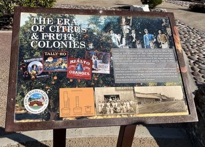
The Era of Citrus & Fruit Colonies
Rialto was an important part of the "Orange Empire". Navel Oranges were best suited to the climate and soil, and unlike wind sheltered groves, the winds from Cajon Pass protected the crops from frost. At the peak of the citrus era, Rialto had seven packing houses and the citrus harvest was a year round operation.
Topics. This historical marker is listed in these topic lists: Agriculture • Industry & Commerce • Settlements & Settlers.
Location. 34° 6.084′ N, 117° 24.076′ W. Marker is in Rialto, California, in San Bernardino County. Marker is on North Linden Avenue. Touch for map. Marker is at or near this postal address: 247 N Linden Ave, Rialto CA 92376, United States of America. Touch for directions.
Other nearby markers. At least 8 other markers are within 6 miles of this marker, measured as the crow flies. Viticulture and the Muscat Grape (approx. 0.3 miles away); The Bridge To Progress (approx. one mile away); Fontana Farms Company (approx. 2.4 miles away); Site of U.S. Rabbit Experimental Station (approx. 2½ miles away); Agua Mansa Cemetery (approx. 4.7 miles away); Mitla Café (approx. 5 miles away); War Memorial (approx. 5.1 miles away); San Bernardino Santa Fe Depot (approx. 5.2 miles away). Touch for a list and map of all markers in Rialto.
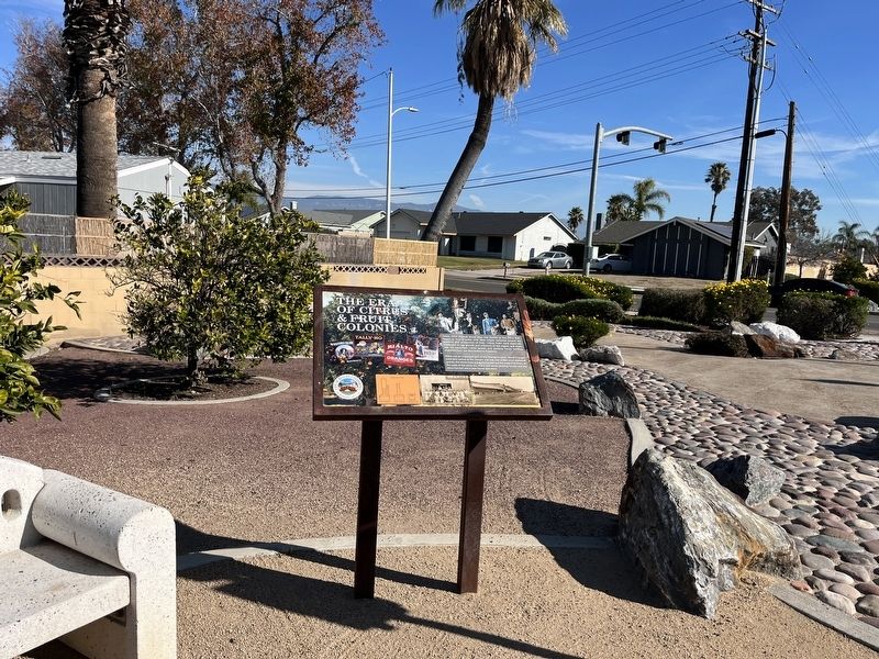
More about this marker. The marker is on the Pacific Electric trail, just west of North Linden Avenue.
Credits. This page was last revised on January 25, 2024. It was originally submitted on January 20, 2024, by Adam Margolis of Mission Viejo, California. This page has been viewed 129 times since then. Photos: 1, 2. submitted on January 20, 2024, by Adam Margolis of Mission Viejo, California. • Andrew Ruppenstein was the editor who published this page.

