Old Town in Alexandria, Virginia — The American South (Mid-Atlantic)
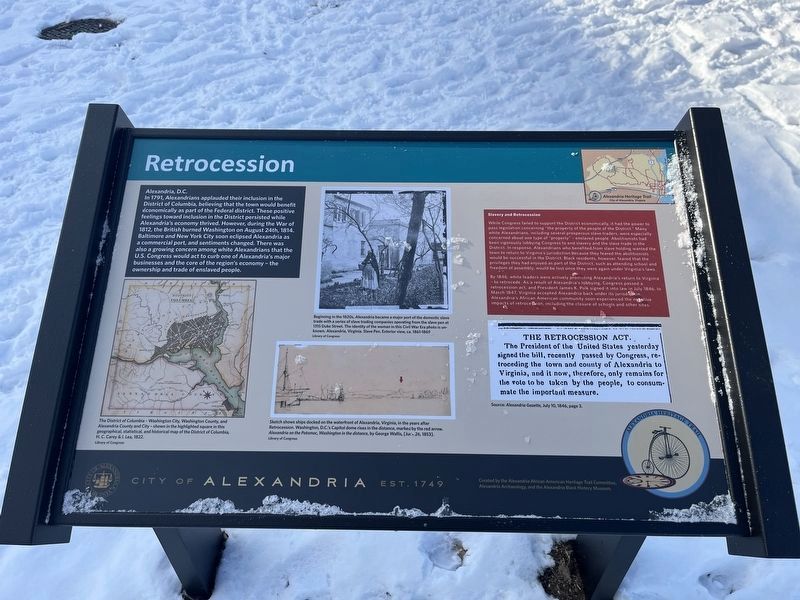
Retrocession
City of Alexandria, Est. 1749
— Alexandria Heritage Trail —
Alexandria, D.C.
In 1791, Alexandrians applauded their inclusion in the District of Columbia, believing that the town would benefit economically as part of the Federal district. These positive feelings toward inclusion in the District persisted while Alexandria's economy thrived. However, during the War of 1812, the British burned Washington on August 24th, 1814. Baltimore and New York City soon eclipsed Alexandria as a commercial port, and sentiments changed. There was also a growing concern among white Alexandrians that the U.S. Congress would act to curb one of Alexandria's major businesses and the core of the region's economy — the ownership and trade of enslaved people.
Slavery and Retrocession
While Congress failed to support the District economically, it had the power to pass legislation concerning "the property of the people of the District." Many white Alexandrians, including several prosperous slave traders, were especially concerned about one type of "property" — enslaved people. Abolitionists had been vigorously lobbying Congress to end slavery and the slave trade in the District. In response, Alexandrians who benefited from slave holding wanted the town to return to Virginia's jurisdiction because they feared the abolitionists would be successful in the District. Black residents, however, feared that the privileges they had enjoyed as part of the District, such as attending school and freedom of assembly, would be lost once they were again under Virginia's laws.
By 1846, white leaders were actively promoting Alexandria's return to Virginia — to retrocede. As a result of Alexandria's lobbying, Congress passed a retrocession act, and President James K. Polk signed it into law in July 1846. In March 1847, Virginia accepted Alexandria back under its jurisdiction. Alexandria's African American community soon experienced the negative impacts of retrocession, including the closure of schools and other sites.
[Captions:]
The District of Columbia — Washington City, Washington County, and Alexandria County and City — shown in the highlighted square in this geographical, statistical, and historical map of the District of Columbia, H. C. Carey & I. Lea, 1822.
Beginning in the 1820s, Alexandria became a major port of the domestic slave trade with a series of slave trading companies operating from the slave pen at 1315 Duke Street. The identity of the woman in this Civil War Era photo is unknown. Alexandria, Virginia. Slave Pen. Exterior view, ca. 1861-1869.
Sketch shows ships docked on the waterfront of Alexandria, Virginia in the years after Retrocession. Washington, D.C.'s Capitol dome rises in the distance, marked
The Retrocession Act. The President of the United States yesterday signed the bill, recently passed by Congress, retroceding the town and county of Alexandria to Virginia, and it now, therefore, only remains for the vote to be taken by the people, to consummate the important measure.
Erected by City of Alexandria, Virginia. (Marker Number 3.)
Topics and series. This historical marker is listed in these topic lists: Abolition & Underground RR • African Americans • Industry & Commerce • Political Subdivisions. In addition, it is included in the Former U.S. Presidents: #11 James K. Polk, and the Virginia, The City of Alexandria series lists. A significant historical month for this entry is March 1847.
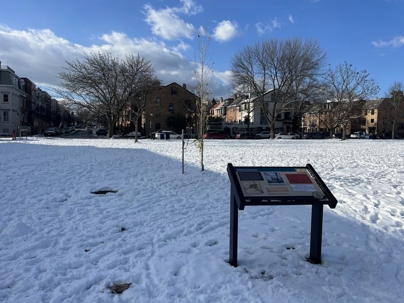
Location. 38° 48.388′ N, 77° 2.353′ W. Marker is in Alexandria, Virginia. It is in Old Town. Marker is at the intersection of North Union Street and Queen Street, on the right when traveling north on North Union Street. The marker stands on the south end of Founders Park. Touch for map. Marker is at or near this postal address: 211 North Union Street, Alexandria VA 22314, United States of America. Touch for directions.
Other nearby markers. At least 8 other markers are within walking distance of this marker. Submarine Screw (Propeller) (about 300 feet away, measured in a direct line); Fishtown (about 400 feet away); African American Waterfront Heritage Trail (about 400 feet away); Engin Artemel (about 400 feet away); The Civil War Comes to Alexandria (about 500 feet away); Old Town Alexandria (about 500 feet away); Torpedo Factory Art Center (about 600 feet away); United States Naval Torpedo Station (Building Two) (about 600 feet away). Touch for a list and map of all markers in Alexandria.
Additional keywords. human trafficking
Credits. This page was last revised on January 20, 2024. It was originally submitted on January 20, 2024, by Devry Becker Jones of Washington, District of Columbia. This page has been viewed 71 times since then. Photos: 1, 2. submitted on January 20, 2024, by Devry Becker Jones of Washington, District of Columbia.

