East Central in Salt Lake City in Salt Lake County, Utah — The American Mountains (Southwest)
Pioneer Rock Wall
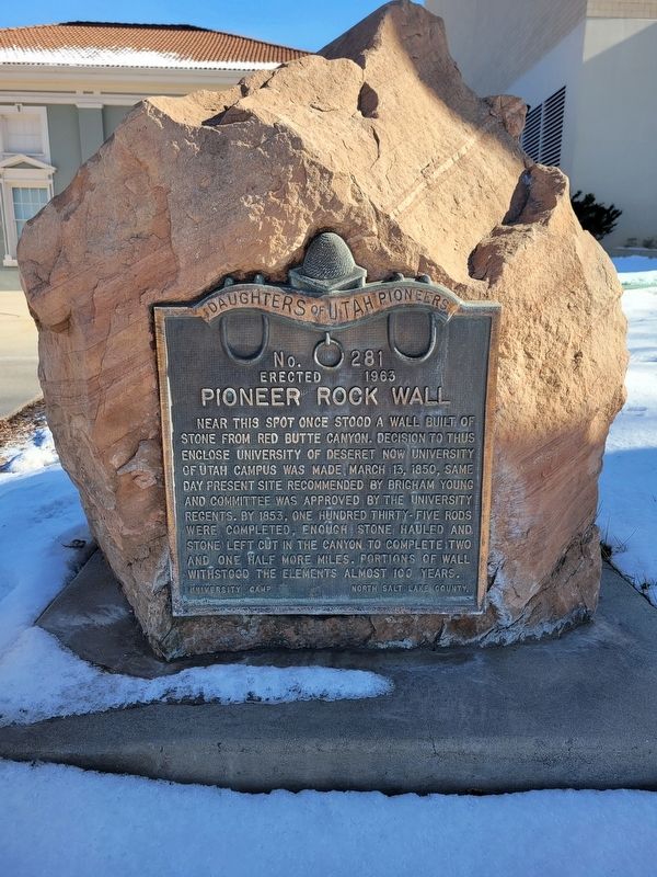
Photographed by Jeremy Snow, January 16, 2024
1. Pioneer Rock Wall Marker
Near this spot once stood a wall built of stone from Red Butte Canyon. Decision to thus enclose University of Deseret now University of Utah campus was made, March 13, 1850, same day present site recommended by Brigham Young and committee was approved by the university regents. By 1853, one hundred thirty-five rods were completed, enough stone hauled and stone left cut in the canyon to complete two and one half more miles. Portions of wall withstood the elements almost 100 years.
University Camp North Salt Lake County
Erected 1963 by Daughters of Utah Pioneers. (Marker Number 281.)
Topics and series. This historical marker is listed in these topic lists: Education • Settlements & Settlers. In addition, it is included in the Daughters of Utah Pioneers series list. A significant historical date for this entry is March 13, 1850.
Location. 40° 46.006′ N, 111° 51.137′ W. Marker is in Salt Lake City, Utah, in Salt Lake County. It is in East Central. It is on South University Street. Touch for map. Marker is at or near this postal address: 1334 S University St, Salt Lake City UT 84112, United States of America. Touch for directions.

Regionally,
this page online
Other nearby markers. At least 8 other markers are within walking distance of this marker: David P. Gardner Hall (about 400 feet away, measured in a direct line); Fire Station No. 8 (approx. ¼ mile away); Sisters of the Holy Cross (approx. 0.4 miles away); Walker/Town Club House (approx. 0.4 miles away); 1067 East South Temple (approx. half a mile away); 1059 E. South Temple (approx. half a mile away); 1053 E. South Temple (approx. half a mile away); 1051 East South Temple (approx. half a mile away). Touch for a list and map of all markers in Salt Lake City.
Credits. This page was last revised on August 23, 2024. It was originally submitted on January 21, 2024, by Jeremy Snow of Cedar City, Utah. This page has been viewed 263 times since then and 16 times this year. Photo 1. submitted on January 21, 2024, by Jeremy Snow of Cedar City, Utah. • Andrew Ruppenstein was the editor who published this page.
