Grass Valley in Nevada County, California — The American West (Pacific Coastal)
Empire Mine
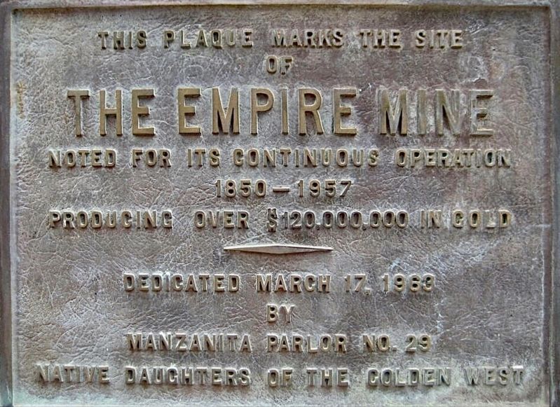
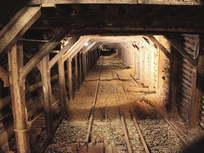
This plaque marks the site of the Empire Mine, noted for its continuous operation 1850-1957, producing over $120,000,000 in gold.
Erected 1963 by Manzanita Parlor No. 29 Native Daughters of the Golden West. (Marker Number 298.)
Topics and series. This historical marker is listed in these topic lists: Industry & Commerce • Natural Resources • Parks & Recreational Areas. In addition, it is included in the California Historical Landmarks series list.
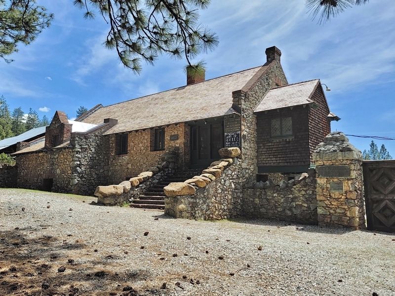
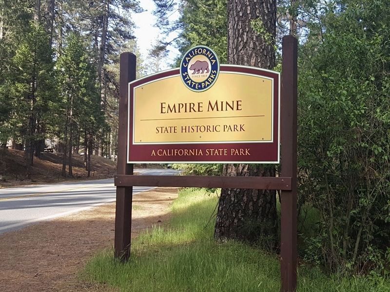
Location. 39° 12.394′ N, 121° 2.784′ W. Marker is in Grass Valley, California, in Nevada County. Marker can be reached from Empire Street near California Route 174. Located in Empire Mine State Historic Park. Touch for map. Marker is at or near this postal address: 10791 E Empire St, Grass Valley CA 95945, United States of America. Touch for directions.
Other nearby markers. At least 8 other markers are within 2 miles of this marker, measured as the crow flies. Union Hill School (approx. half a mile away); Reliance Hose Company No. 3 (approx. 0.9 miles away); N. C. N. G. R. R. (approx. 0.9 miles away); Columbiad Cannon – 1850 (approx. one mile away); Chinatown, Grass Valley (approx. 1.1 miles away); The Old Post Office (approx. 1.2 miles away); Grass Valley Library (approx. 1.2 miles away); Lola Montez 1819 - 1861 (approx. 1.2 miles away). Touch for a list and map of all markers in Grass Valley.
Regarding Empire Mine. In 1939 this site was designated California Historical Landmark No. 298.
Credits. This page was last revised on January 25, 2024. It was originally submitted on January 25, 2024, by Craig Baker of Sylmar, California. This page has been viewed 54 times since then. Photos: 1, 2, 3, 4. submitted on January 25, 2024, by Craig Baker of Sylmar, California.


