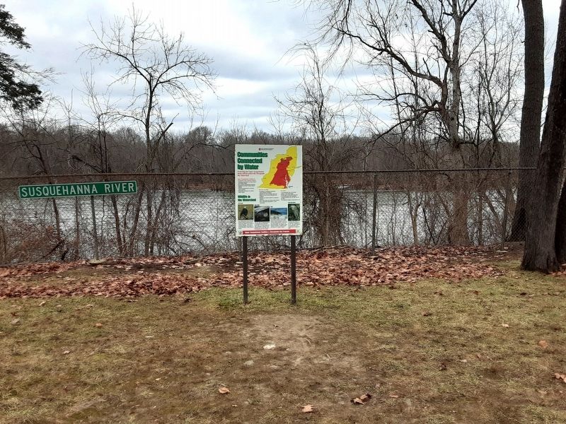
Near Owego in Tioga County, New York — The American Northeast (Mid-Atlantic)
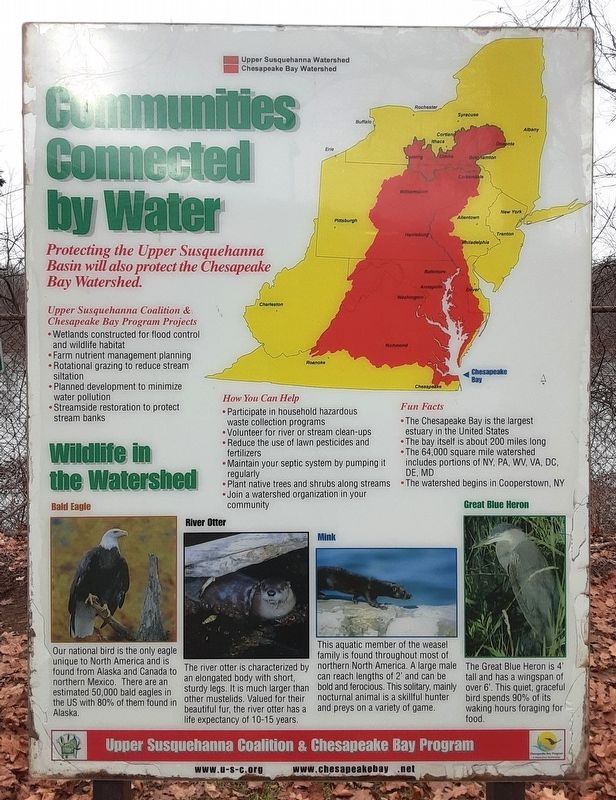
Communities Connected by Water
[Historical info excerpts]
Fun Facts
• The Chesepeake Bay is the largest estuary in the United States
• The 64,000 square mile watershed includes portions of
NY, PA, WV, VA, DC, DE, MD
• The watershed begins in Cooperstown, NY
Wildlife in the Watershed
Bald Eagle
Our national bird is the only eagle unique to North America and is found from Alaska and Canada to northern Mexico. There are an estimated 50,000 bald eagles in the US with 80% of them found in Alaska.
[Balance of marker is natural history and activist related]
Erected by Upper Susquehanna Coalition & Chesapeake Bay Program.
Topics. This historical marker is listed in these topic lists: Animals • Exploration • Waterways & Vessels.
Location. 42° 5.213′ N, 76° 16.793′ W. Marker is near Owego, New York, in Tioga County. Marker is on the Southern Tier Expressway (New York State Route 15), on the right when traveling west. Marker is at the westbound Owego Rest Area. Touch for map. Marker is in this post office area: Owego NY 13827, United States of America. Touch for directions.
Other nearby markers. At least 8 other markers are within 2 miles of this marker, measured as the crow flies. Home Of Elizabeth Brown Chatfield (approx. 1.1 miles away); A Log House (approx. 1.1 miles away); Jas. McMaster (approx. 1.2 miles away); Two Rivers Greenway (approx. 1.3 miles away); World War II (approx. 1.3 miles away); The Bridges of Owego (approx. 1.4 miles away); Former Residence (approx. 1.4 miles away); Fishing the Susquehanna (approx. 1.4 miles away). Touch for a list and map of all markers in Owego.
Regarding Communities Connected by Water. Marker has limited historical information.
Credits. This page was last revised on January 25, 2024. It was originally submitted on January 25, 2024, by William Fischer, Jr. of Scranton, Pennsylvania. This page has been viewed 55 times since then. Photos: 1, 2. submitted on January 25, 2024, by William Fischer, Jr. of Scranton, Pennsylvania.

