Hanover Township near Loudonville in Ashland County, Ohio — The American Midwest (Great Lakes)
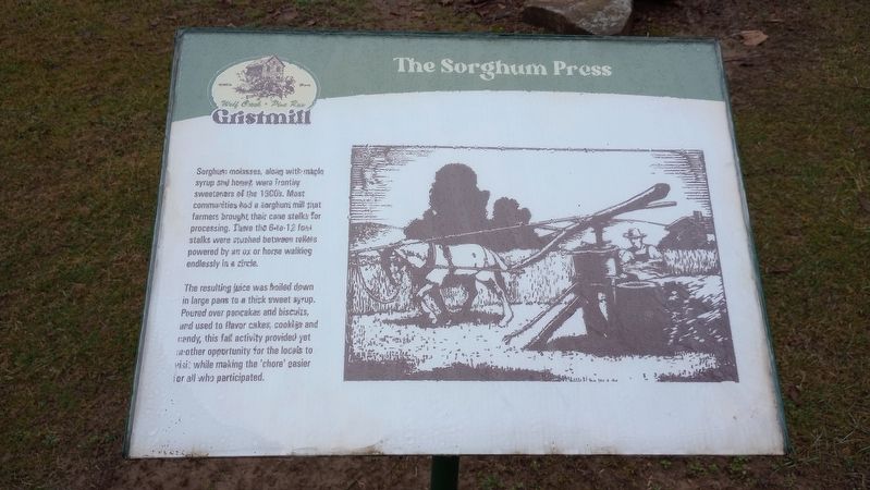
The Sorghum Press
Photographed by Craig Doda, January 27, 2024
1. The Sorghum Press Marker
The resulting juice was boiled down in large pans to a thick sweet syrup. Poured over pancakes and biscuits, and used to flavor cakes, cookies and candy, this fall activity provided yet another opportunity for the locals to visit while making the 'chore' easier for all who participated.
Topics. This historical marker is listed in this topic list: Industry & Commerce.
Location. 40° 36.13′ N, 82° 15.683′ W. Marker is near Loudonville, Ohio, in Ashland County. It is in Hanover Township. It can be reached from Ohio 3, on the right when traveling north. Touch for map. Marker is at or near this postal address: 3175 OH-3, Loudonville OH 44842, United States of America. Touch for directions.

Regionally, this marker is in Amish Country. It is also in the American Midwest. Globally,
this page online
Other nearby markers. At least 8 other markers are within walking distance of this marker: The Henhouse (a few steps from this marker); The Corn Crib (a few steps from this marker); The Plow (a few steps from this marker); The Outhouse (within shouting distance of this marker); The Smokehouse (within shouting distance of this marker); The Old Mill (about 300 feet away, measured in a direct line); A Brief History of the Mill (about 300 feet away); Wolf Creek (Pine Run) Grist Mill (about 400 feet away). Touch for a list and map of all markers in Loudonville.
More about this marker. The marker is located just north of Wolf Creek Grist Mill in Mohican State Park.
Photographed by Craig Doda, January 27, 2024
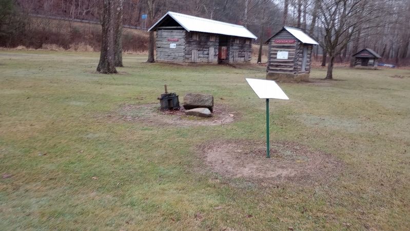
2. The Sorghum Press Marker
Photographed by Craig Doda, January 27, 2024
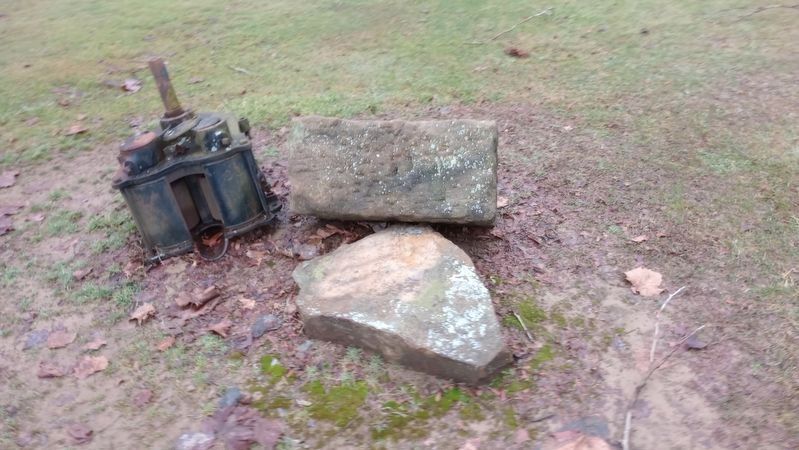
3. Sorghum Press remnants
Credits. This page was last revised on November 15, 2024. It was originally submitted on January 28, 2024, by Craig Doda of Napoleon, Ohio. This page has been viewed 259 times since then and 36 times this year. Photos: 1, 2, 3. submitted on January 28, 2024, by Craig Doda of Napoleon, Ohio. • Andrew Ruppenstein was the editor who published this page.
