Hanover Township in Loudonville in Ashland County, Ohio — The American Midwest (Great Lakes)
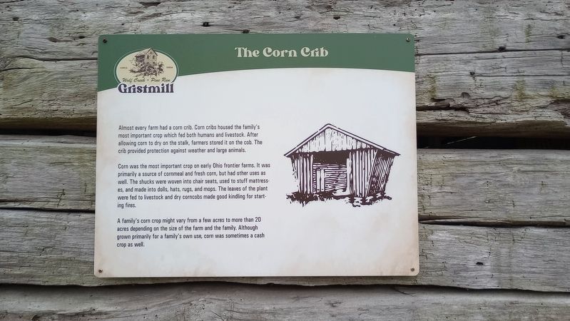
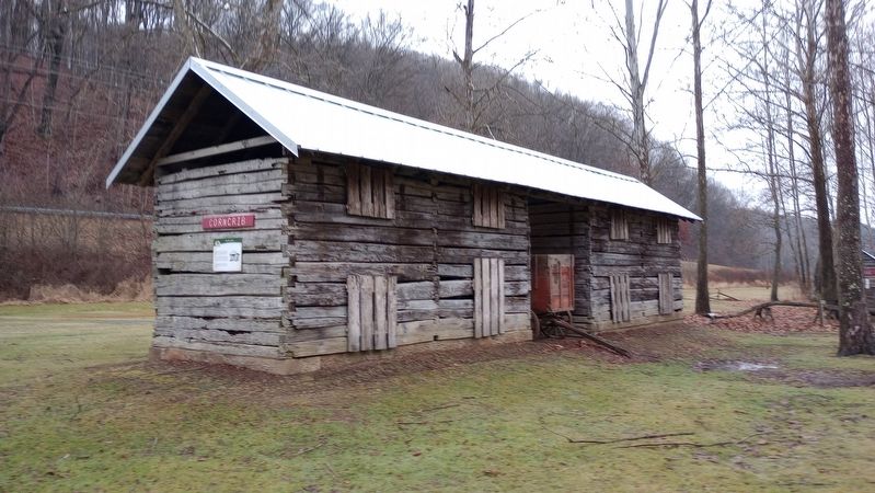
The Corn Crib
Corn was the most important crop on early Ohio frontier farms. It was primarily a source of cornmeal and fresh corn, but had other uses as well. The shucks were woven into chair seats, used to stuff mattresses, and made into dolls, hats, rugs, and mops. The leaves of the plant were fed to livestock and dry corncobs made good kindling for starting fires.
A family's corn crop might vary from a few acres to more than 20 acres depending on the size of the farm and the family. Although grown primarily for a family's own use, corn was sometimes a cash crop as well.
Topics. This historical marker is listed in this topic list: Agriculture.
Location. 40° 36.136′ N, 82° 15.69′ W. Marker is in Loudonville, Ohio, in Ashland County. It is in Hanover Township. Marker can be reached from Ohio 3, on the right when traveling north. Touch for map. Marker is at or near this postal address: 3175 OH-3, Loudonville OH 44842, United States of America. Touch for directions.
Other nearby markers. At least 8 other markers are within walking distance of this marker. The Sorghum Press (a few steps from this marker); The Henhouse (a few steps from this marker); The Plow (a few steps from this marker); The Outhouse (within shouting distance of this marker); The Smokehouse (within shouting distance of this marker); The Old Mill (about 400 feet away, measured in a direct line); A Brief History of the Mill (about 400 feet away); Wolf Creek (Pine Run) Grist Mill (about 400 feet away). Touch for a list and map of all markers in Loudonville.
More about this marker. The marker is in the vicinity of the Wolf Creek Grist Mill in Mohican State Park.
Credits. This page was last revised on February 4, 2024. It was originally submitted on January 28, 2024, by Craig Doda of Napoleon, Ohio. This page has been viewed 46 times since then. Photos: 1, 2. submitted on January 28, 2024, by Craig Doda of Napoleon, Ohio. • Andrew Ruppenstein was the editor who published this page.

