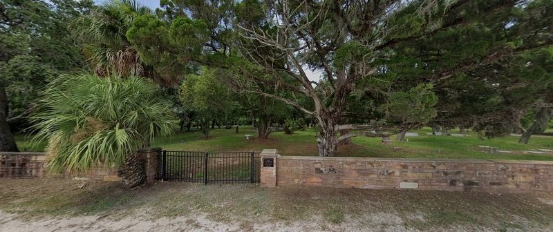
Merritt Island in Brevard County, Florida — The American South (South Atlantic)
Indianola Pioneer Cemetery
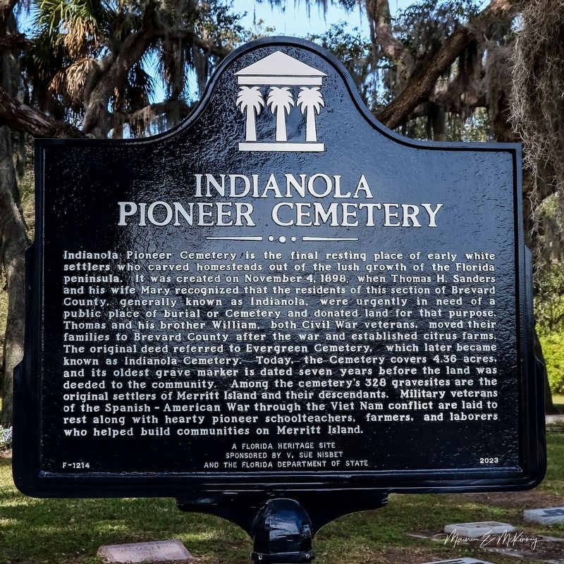
Photographed by Maureen McKinney, January 27, 2024
1. Indianola Pioneer Cemetery Marker
Inscription.
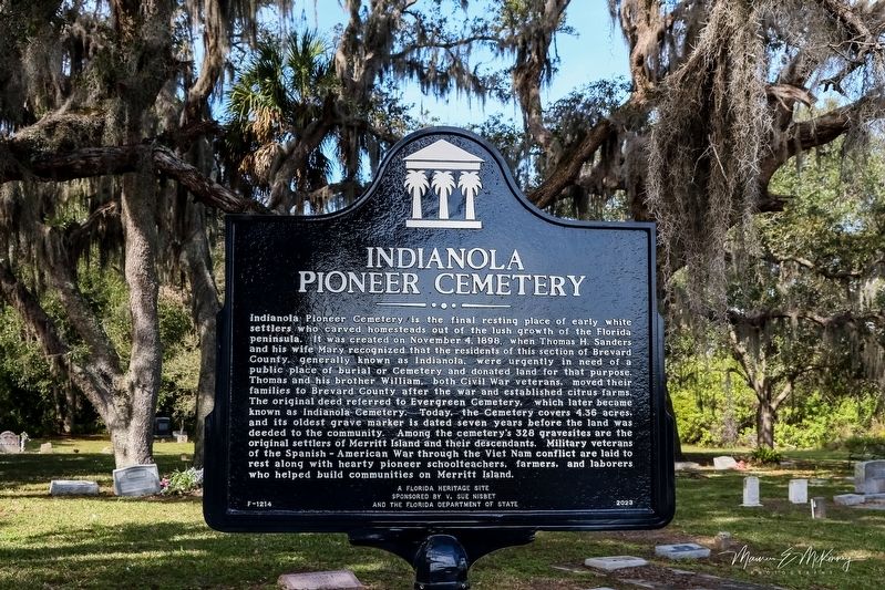
Indianola Pioneer cemetery is the final resting place of early white settlers who carved homesteads out of the lush growth of the Florida peninsula. It was created on November 4, 1898, when Thomas H Sanders and his wife, Mary recognized that the residence of this section of Brevard County, generally known as Indianola, were urgently in need of a public place of burial or cemetery and donated land for that purpose. Thomas and his brother William, both Civil War veterans, move their families to Brevard county after the war and established citrus Farms. The original deed referred to Evergreen Cemetery, which later became known as Indianola Cemetery. Today, the cemetery covers 4.36 acres, and its oldest grave marker is dated seven years before the land was deed to the community. Among the cemeteries 328 gravesites are the original settlers of Merritt Island and their descendants. Military veterans of the Spanish American war through the Vietnam conflict are laid to rest along with hearty pioneer school teachers, farmers, and laborers, who helped build communities on Merritt Island.
Erected 2023 by A Florida heritage site
Click or scan to see this page online
sponsored by V. Sue Nisbet, and the Florida Department of State. (Marker Number F-1214.)
Location. 28° 24.366′ N, 80° 42.635′ W. Marker is on Merritt Island, Florida, in Brevard County. It is on Barge Canal Circle one mile north of Marine Harbor Dr, on the left when traveling north. Touch for map. Marker is in this post office area: Merritt Island FL 32953, United States of America. Touch for directions.

Regionally, this marker is in Florida’s Space Coast. It is also in the American South. Globally, it is in the North Atlantic Region, North America, a Gulf of Mexico state, the Western Hemisphere, the Western World, and the Anglosphere. Historically, it finds itself in what was once New Spain, the territory of the Mississippian Culture, one of the Confederate States of America, and the Antebellum South.
Other nearby markers. At least 8 other markers are within 4 miles of this marker, measured as the crow flies: John R. Field Homestead (approx.
Photographed by Maureen McKinney, January 27, 2024
Credits. This page was last revised on January 31, 2024. It was originally submitted on January 29, 2024, by Maureen McKinney of Jacksonville, Florida. This page has been viewed 1,009 times since then and 137 times this year. Photos:1, 2, 3. submitted on January 29, 2024, by Maureen McKinney of Jacksonville, Florida. • Bernard Fisher was the editor who published this page.