Near Mount Vernon in Lawrence County, Missouri — The American Midwest (Upper Plains)
The Ozark Trail
Missouri
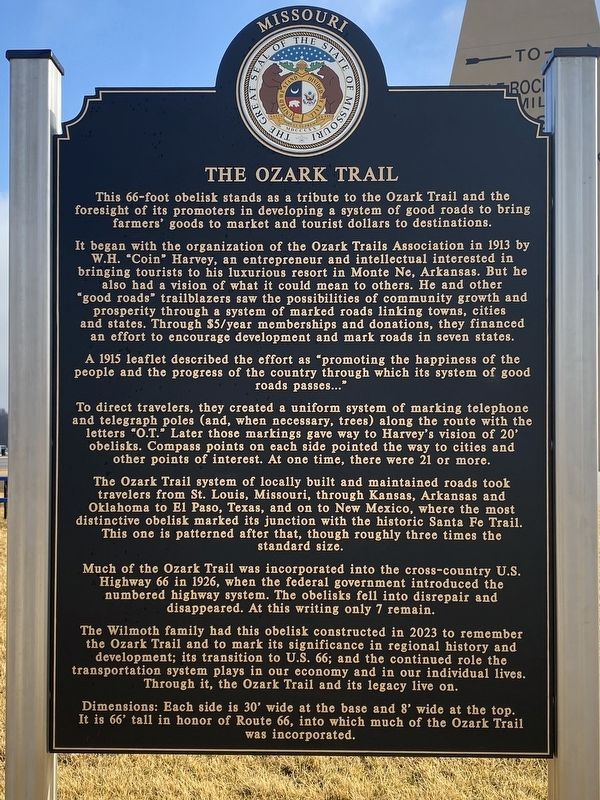
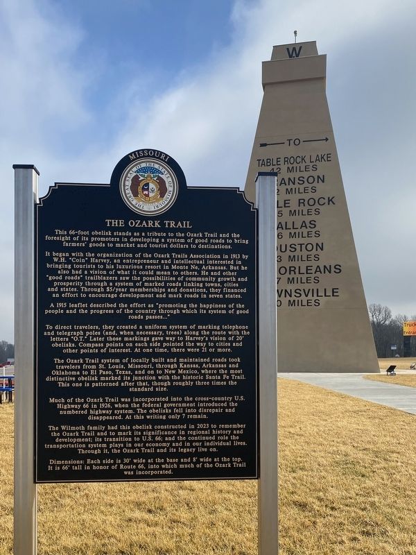
This 66-foot obelisk stands as a tribute to the Ozark Trail and the foresight of its promoters in developing a system of good roads to bring farmers' goods to market and tourist dollars to destinations.
It began with the organization of the Ozark Trails Association in 1913 by W.H. "Coin" Harvey, an entrepreneur and intellectual interested in bringing tourists to his luxurious resort in Monte Ne, Arkansas. But he also had a vision of what it could mean to others.
He and other "good roads" trailblazers saw the possibilities of community growth and prosperity through a system of marked roads linking towns, cities and states. Through $5/year memberships and donations, they financed an effort to encourage development and mark roads in seven states.
A 1915 leaflet described the effort as "promoting the happiness of the people and the progress of the country through which its system of good roads passes…"
To direct travelers, they created a uniform system of marking telephone obelisks. Compass points on each side pointed the way to cities and other points of interest. At one time, there were 21 or more.
The Ozark Trail system of locally built and maintained roads took travelers from St. Louis, Missouri, through Kansas, Arkansas and Oklahoma to El Paso, Texas, and on to New Mexico, where the most distinctive obelisk marked its junction with the historic Santa Fe Trail.
This one is patterned after that, though roughly three times the standard size. Much of the Ozark Trail was incorporated into the cross-country U.S. Highway 66 in 1926, when the federal government introduced the numbered highway system.
The obelisks fell into disrepair and disappeared. At this writing only 7 remain. The Wilmoth family had this obelisk constructed in 2023 to remember the Ozark Trail and to mark its significance in regional history and development; its transition to U.S. 66; and the continued role the transportation system plays in our economy and in our individual lives. Through it, the Ozark Trail and its legacy live on.
Dimensions: Each side is 30' wide at the base and 8' wide at the top. It is 66° tall in honor of Route 66, into which much of the Ozark Trail was incorporated.
Erected 2023.
Topics. This historical marker is listed in this topic list: Roads & Vehicles. A significant historical year for this entry is 1913.
Location. 37° 5.432′ N, 93° 47.965′ W. Marker is near Mount Vernon, Missouri, in Lawrence County. Marker is on State Highway 39 south of Interstate 44, on the right when traveling south. Touch for map. Marker is at or near this postal address: 12721 State Hwy 39, Mount Vernon MO 65712, United States of America. Touch for directions.
Other nearby markers. At least 8 other markers are within 15 miles of this marker, measured as the crow flies. Lawrence County Veterans Memorial (approx. one mile away); World War I Memorial (approx. 9 miles away); Lawrence County (approx. 9.1 miles away); Veterans Memorial (approx. 9.2 miles away); Civil War Marker (approx. 9.6 miles away); a different marker also named Veterans Memorial (approx. 10.4 miles away); War Memorial (approx. 14.3 miles away); Christopher G. Stark Memorial (approx. 14.3 miles away).
Regarding The Ozark Trail. The historical marker is in front of the Ozark Trails Obelisk at the Travel America Phillips 66 on the south side of I-44, exit 46.
Credits. This page was last revised on February 13, 2024. It was originally submitted on January 30, 2024, by Shannon Beckham of Joplin, Missouri. This page has been viewed 62 times since then. Photos: 1, 2. submitted on January 30, 2024, by Shannon Beckham of Joplin, Missouri. • Devry Becker Jones was the editor who published this page.

