Colorado City in Mitchell County, Texas — The American South (West South Central)
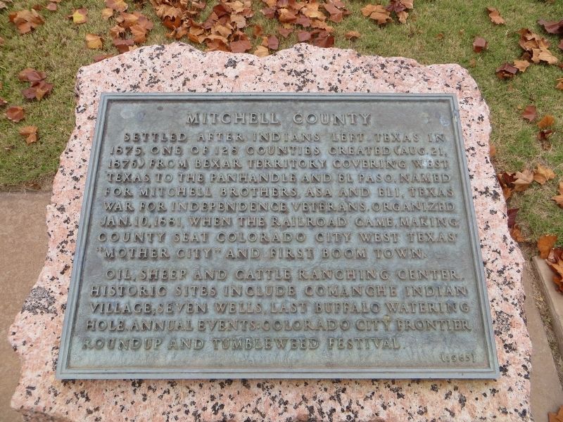
Mitchell County
Photographed by Bill Kirchner, November 12, 2017
1. Mitchell County Marker
Oil, sheep and cattle ranching center. Historic sites include Comanche Indian Village; seven wells, last buffalo watering hole. Annual events: Colorado City Frontier Roundup and Tumbleweed Festival.
Erected 1965 by State of Texas. (Marker Number 3423.)
Topics and series. This historical marker is listed in this topic list: Settlements & Settlers. In addition, it is included in the Texas 1936 Centennial Markers and Monuments series list. A significant historical date for this entry is January 10, 1881.
Location. 32° 23.414′ N, 100° 52.104′ W. Marker is in Colorado City, Texas, in Mitchell County. It is on Oak Street, on the right when traveling south. Touch for map. Marker is at or near this postal address: 349 Oak Street, Colorado City TX 79512, United States of America.
this page online

Regionally, this marker is in Big Country. Globally, it is in North America, a Gulf of Mexico state, the Western Hemisphere, the Western World, and the Anglosphere. Historically, it finds itself in what was once New Spain, the Comanchería, the Republic of Texas, and one of the Confederate States of America.
Other nearby markers. At least 8 other markers are within walking distance of this marker: The Founding of Colorado City (here, next to this marker); a different marker also named Mitchell County (within shouting distance of this marker); Colorado Opera House (about 400 feet away, measured in a direct line); Baker Hotel (approx. 0.2 miles away); Sites of Texas & Pacific Railway Depots (approx. 0.2 miles away); First Baptist Church of Colorado City (approx. ¼ mile away); Majors Home (approx. ¼ mile away); Texas & Pacific Railway (approx. ¼ mile away). Touch for a list and map of all markers in Colorado City.
Photographed by Bill Kirchner, November 12, 2017
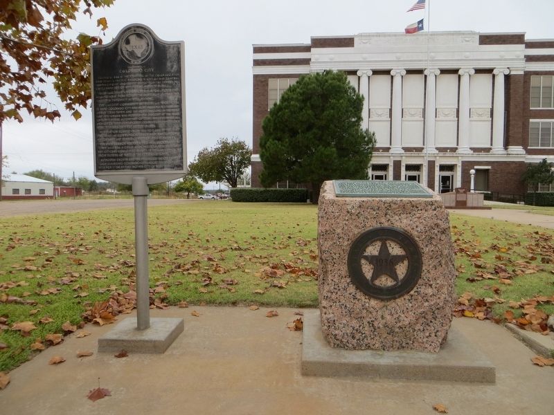
2. Mitchell County Marker on the right
The Founding of Colorado City Marker is on the left.
Photographed by Bill Kirchner, November 12, 2017
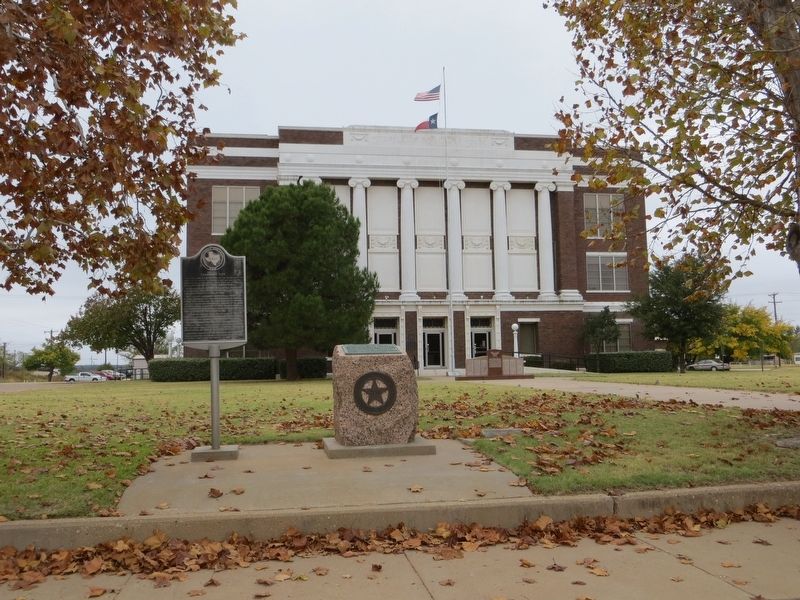
3. Mitchell County Marker
Credits. This page was last revised on February 4, 2024. It was originally submitted on July 19, 2018, by Bill Kirchner of Tucson, Arizona. This page has been viewed 527 times since then and 43 times this year. Last updated on January 30, 2024, by Jeff Leichsenring of Garland, Texas. Photos: 1, 2, 3. submitted on July 19, 2018, by Bill Kirchner of Tucson, Arizona. • James Hulse was the editor who published this page.
