Bowie in Montague County, Texas — The American South (West South Central)
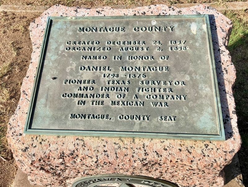
Montague County
Organized August 2, 1858
Named in honor of
Daniel Montague
1798-1876
Pioneer Texas surveyor
and Indian fighter
Commander of a company
in the Mexican War
Montague, County Seat
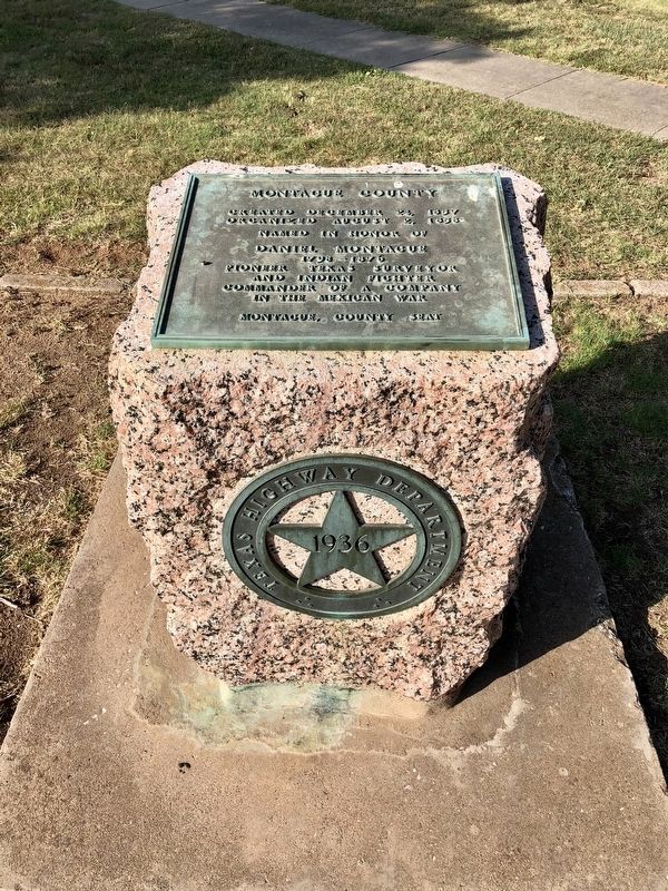
Erected 1936 by the State of Texas. (Marker Number 3437.)
Topics and series. This historical marker is listed in these topic lists: Settlements & Settlers • War, Mexican-American • Wars, US Indian. In addition, it is included in the Texas 1936 Centennial Markers and Monuments series list. A significant historical date for this entry is August 2, 1858.
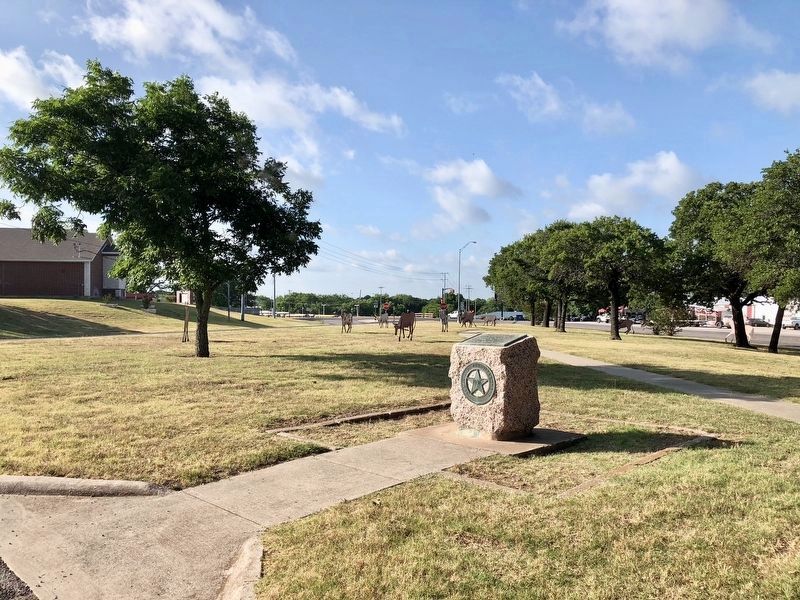
Location. 33° 33.836′ N, 97° 51.422′ W. Marker is in Bowie, Texas, in Montague County. Marker can be reached from U.S. 81 south of Adkins Street when traveling south. Touch for map. Marker is in this post office area: Bowie TX 76230, United States of America. Touch for directions.
Other nearby markers. At least 8 other markers are within 11 miles of this marker, measured as the crow flies. Home County of Governor James V. Allred (within shouting distance of this marker); First National Bank of Bowie (approx. 0.6 miles away); Elmwood Cemetery (approx. 1.6 miles away); United Methodist Church of Montague (approx. 10.4 miles away); Montague Pioneer Memorial (approx. 10˝ miles away); 1927 Montague County Jail (approx. 10˝ miles away); Montague County Courthouse (approx. 10˝ miles away); Montague Cemetery (approx. 10.8 miles away). Touch for a list and map of all markers in Bowie.
Also see . . . Texas State Historical Association on Montague County. (Submitted on July 5, 2018, by Mark Hilton of Montgomery, Alabama.)
Credits. This page was last revised on February 4, 2024. It was originally submitted on July 5, 2018, by Mark Hilton of Montgomery, Alabama. This page has been viewed 328 times since then and 40 times this year. Last updated on January 30, 2024, by Jeff Leichsenring of Garland, Texas. Photos: 1, 2, 3. submitted on July 5, 2018, by Mark Hilton of Montgomery, Alabama. • James Hulse was the editor who published this page.


