Fairmount Park in Philadelphia in Philadelphia County, Pennsylvania — The American Northeast (Mid-Atlantic)
Strawberry Mansion Bridge
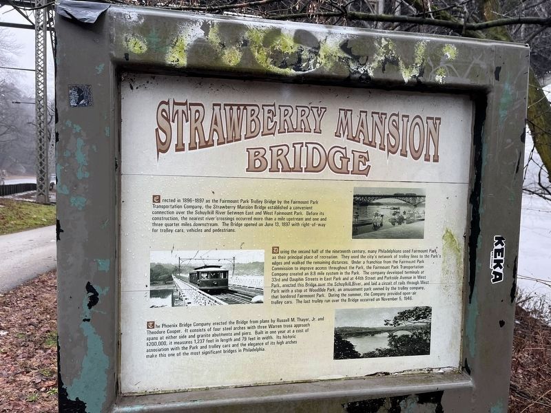
Erected in 1896-1897 as the Fairmount Park Trolley Bridge by the Fairmount Park Transportation Company, the Strawberry Mansion Bridge established a convenient connection over the Schuylkill River between East and West Fairmount Park. Before its construction, the nearest river crossings occurred more than a mile upstream and one and three quarter miles downstream. The Bridge opened on June 13, 1897 with right-of-way for trolley cars, vehicles and pedestrians.
During the second half of the nineteenth century, many Philadelphians used Fairmount Park as their principle place of recreation. They used the city's network of trolley lines to the Park's edges and walked the remaining distances. Under a franchise from the Fairmount Park Commission to improve access throughout the Park, the Fairmount Park Transportation Company created an 8.8. mile system in the Park. The company developed terminals at 33rd and Dauphin Streets in East Park and at 44th Street and Parkside Avenue in West Park, erected this Bridge over the Schuylkill River, and laid a circuit of rails through West Park with a stop at Woodside Park, an amusement park owned by the trolley company, that bordered Fairmount Park. During the summer, the Company provided open-air trolley cars. The last trolley run over the Bridge occurred on November 5, 1946.
The Phoenix Bridge Company erected the Bridge from plans by Russell M. Thayer, Jr. and Theodore Cooper. It consists of four steel arches with three Warren truss approach spans at either side and granite abutments and piers. Built in one year at a cost of $200,000, it measures 1,237 feet in length and 79 feet in width. Its historic association with the Park and trolley cars and the elegance of its high arches make this one of the most significant bridges in Philadelphia.
Topics. This historical marker is listed in these topic lists: Bridges & Viaducts • Industry & Commerce • Parks & Recreational Areas • Railroads & Streetcars. A significant historical date for this entry is June 13, 1897.
Location. 39° 59.698′ N, 75° 11.537′ W. Marker is in Philadelphia, Pennsylvania, in Philadelphia County. It is in Fairmount Park. Marker is on Kelly Drive, 0.3 miles south of West Hunting Park Avenue (County Road 3033), on the right when traveling south. Touch for map. Marker is at or near this postal address: 40 Kelly Dr, Philadelphia PA 19132, United States of America. Touch for directions.
Other nearby markers. At least 8 other markers are within walking distance of this marker. A different marker also named Strawberry Mansion Bridge (within shouting distance of this marker); a different marker also named Strawberry Mansion Bridge (about 500 feet away, measured in a direct line); Asian Persimmon (about 500 feet away); Apricot
![Strawberry Mansion Bridge Marker [Reverse]. Click for full size. Strawberry Mansion Bridge Marker [Reverse] image. Click for full size.](Photos7/772/Photo772006.jpg?1312024125000PM)
Photographed By Devry Becker Jones (CC0), January 26, 2024
2. Strawberry Mansion Bridge Marker [Reverse]

Photographed By Devry Becker Jones (CC0), January 26, 2024
3. Strawberry Mansion Bridge Marker
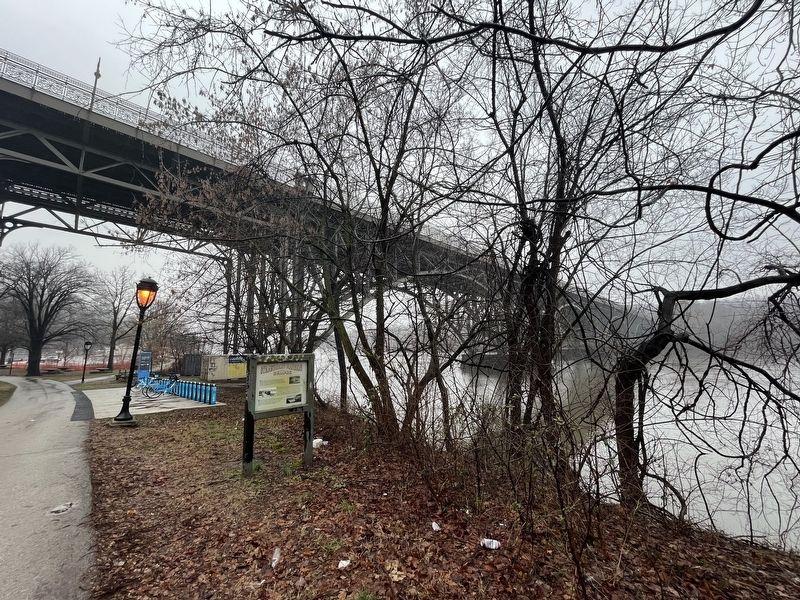
Strawberry Mansion Bridge can be seen in the background.
Credits. This page was last revised on January 31, 2024. It was originally submitted on January 31, 2024, by Devry Becker Jones of Washington, District of Columbia. This page has been viewed 41 times since then. Photos: 1, 2, 3. submitted on January 31, 2024, by Devry Becker Jones of Washington, District of Columbia.
