Burke in Fairfax County, Virginia — The American South (Mid-Atlantic)
Burke's Station
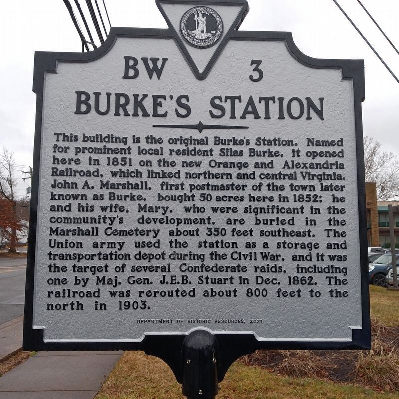
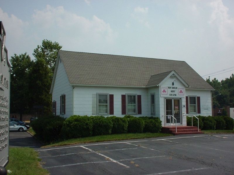
This building is the original Burke's Station. Named for prominent local resident Silas Burke, it opened here in 1851 on the new Orange and Alexandria Railroad, which linked northern and central Virginia. John A. Marshall, first postmaster of the town later known as Burke, bought 50 acres here in 1852: he and his wife. Mary. who were significant in the community's development, are buried in the Marshall Cemetery about 350 feet southeast. The Union army used the station as a storage and transportation depot during the Civil War, and it was the target of several Confederate raids, including one by Maj. Gen. J.E.B. Stuart in Dec. 1862. The railroad was rerouted about 800 feet to the north in 1903.
Erected 2021 by Department of Historic Resources. (Marker Number BW-3.)
Topics. This historical marker is listed in these topic lists: Communications • Railroads & Streetcars • War, US Civil. A significant historical month for this entry is December 1862.
Location. 38° 47.626′ N, 77° 16.288′ W. Marker is in Burke, Virginia, in Fairfax County. Marker is at the intersection of Old Burke Lake Road and Burke Road (Virginia Route 652), on the right when traveling north on Old Burke Lake Road. Touch for map. Marker is in this post office area: Burke VA 22015, United States of America. Touch for directions.
Other nearby markers. At least 8 other markers are within walking distance of this marker. A different marker also named Burke's Station (here, next to this marker); a different marker also named Burke's Station (about 400 feet away, measured in a direct line); Marshall Family Cemetery (about 400 feet away); Copperthite Racetrack (approx. ¼ mile away); Post Office (approx. half a mile away); Ice House (approx. half a mile away); The Silas Burke House (approx. half a mile away); Windmill (approx. 0.6 miles away). Touch for a list and map of all markers in Burke.
More about this marker. In 2021 this marker replaced the original BW 3 marker. The new marker was unveiled in 2022. The earlier marker was replaced to provide more information about the history of the site. The new marker was the result of a petition by Burke resident Corazon Sandoval Foley, Founding Chair of Foley Community Center Project.
Regarding Burke's Station. Station is on the original site, but has been turned 90 degrees. It is a State Farm Insurance Agency office. The railroad tracks moved two blocks north in the early 20th century. The raid recounted on this marker is known as Stuart's "Christmas Raid".
Related marker. Click here for another marker that is related to this marker. Old Marker at this Location titled "Burke Station"
Credits. This page was last revised on February 1, 2024. It was originally submitted on February 1, 2024, by Judith Elizabeth Pearson of Burke, Virginia. This page has been viewed 99 times since then. Photos: 1. submitted on January 25, 2024, by Judith Elizabeth Pearson of Burke, Virginia. 2. submitted on November 10, 2005. • Bernard Fisher was the editor who published this page.

