Near Tonopah in Esmeralda County, Nevada — The American Mountains (Southwest)
Millers
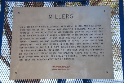
Photographed by Karen Key, September 30, 2007
1. Millers Marker
State Historical Marker No. 101
Nevada State Park System
American Legion, Nevada Dept.
Erected by Nevada State Park System and American Legion, Nevada Dept. (Marker Number 101.)
Topics. This historical marker is listed in these topic lists: Railroads & Streetcars • Settlements & Settlers. A significant historical year for this entry is 1901.
Location. 38° 8.435′ N,
this page online

Regionally, this marker is in the Sierra Nevada and specifically in Central Nevada. It is also in the American Southwest and in the Mountain West. Globally, it is in North America, the Western Hemisphere, the Western World, and the Anglosphere. Historically, it finds itself in what was once New Spain and also Mexico’s Alta California.
Also see . . .
1. Stamp Mills. (Submitted on November 12, 2007, by Karen Key of Sacramento, California.)
2. Wikipedia - Charles R. Miller. (Submitted on November 12, 2007, by Karen Key of Sacramento, California.)
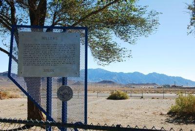
Photographed by Karen Key, September 30, 2007
2. Millers Marker
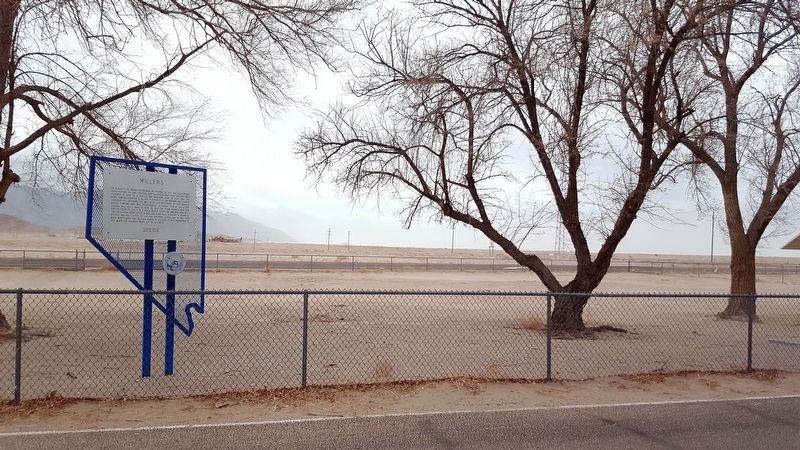
Photographed by Douglass Halvorsen, March 22, 2018
3. Millers Marker
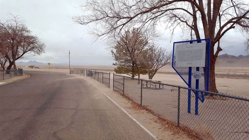
Photographed by Douglass Halvorsen, March 22, 2018
4. Millers Marker
Credits. This page was last revised on February 5, 2024. It was originally submitted on November 12, 2007, by Karen Key of Sacramento, California. This page has been viewed 1,792 times since then and 40 times this year. Last updated on February 2, 2024, by Sierra Burkhart of San Diego, California, United States. Photos: 1, 2. submitted on November 12, 2007, by Karen Key of Sacramento, California. 3, 4. submitted on April 4, 2018, by Douglass Halvorsen of Klamath Falls, Oregon. • J. Makali Bruton was the editor who published this page.
