Haddonfield in Camden County, New Jersey — The American Northeast (Mid-Atlantic)
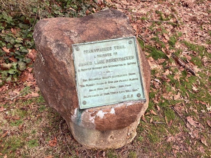
Pennypacker Trail
A Tribute to
James Lane Pennypacker
A Devoted Student and Interpreter of Nature
by
The Delaware Valley Naturalist Union
“The Passing Charm of Birds and Fragile Flowers
Again Upon the Pond-side Trail
Fulfillment of Your Virtue Life Will Hail”
JLP
Topics. This historical marker is listed in these topic lists: Animals • Parks & Recreational Areas.
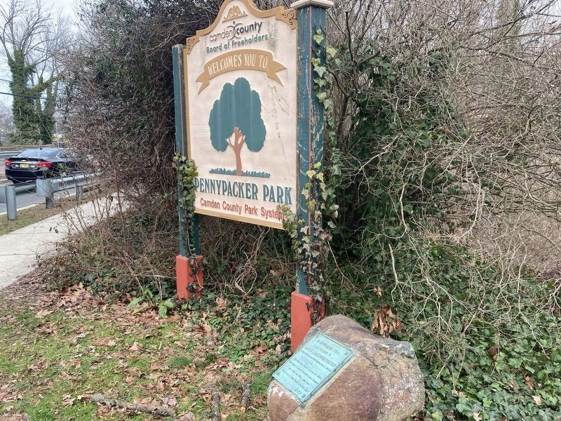
Location. 39° 54.939′ N, 75° 2.077′ W. Marker is in Haddonfield, New Jersey, in Camden County. Marker is at the intersection of Grove Street and Coles Mill Road, on the right when traveling north on Grove Street. Touch for map. Marker is in this post office area: Haddonfield NJ 08033, United States of America. Touch for directions.
Other nearby markers. At least 8 other markers are within one mile of this marker, measured as the crow flies. Hadrosaurus Foulkii (approx. half a mile away); Old Grove School (approx. 0.9 miles away); Memorial High School (approx. 1.1 miles away); Roll of Honor (approx. 1.1 miles away); Hessian Army during the Revolutionary War (approx. 1.1 miles away); Alfred Eastlack Driscoll (approx. 1.1 miles away); Haddonfield Veterans Memorial (approx. 1.1 miles away); Haddonfield World War I Honor Roll (approx. 1.1 miles away). Touch for a list and map of all markers in Haddonfield.
Also see . . . The Story of an Old Road ( Internet Archive ). James Lane Pennypacker, a resident of Haddonfield, New Jersey, presented a paper in 1925 to the Camden County Historical Society describing the growth of Newton (later Haddon) Township through the transformation of an Indian (Lenni Lenape) trail into Kings Highway. This paper describes many of the historic events which took place from colonial times through the early 20th century along this road where the marker is located. (Submitted on February 3, 2024, by Thomas Anderson of Haddon Township, New Jersey.)
Credits. This page was last revised on February 18, 2024. It was originally submitted on February 3, 2024, by Thomas Anderson of Haddon Township, New Jersey. This page has been viewed 41 times since then. Photos: 1, 2. submitted on February 3, 2024, by Thomas Anderson of Haddon Township, New Jersey. • Michael Herrick was the editor who published this page.

