Hereford in Baltimore County, Maryland — The American Northeast (Mid-Atlantic)
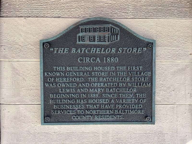
"The Batchelor Store"
circa 1880
Topics. This historical marker is listed in this topic list: Industry & Commerce. A significant historical year for this entry is 1889.
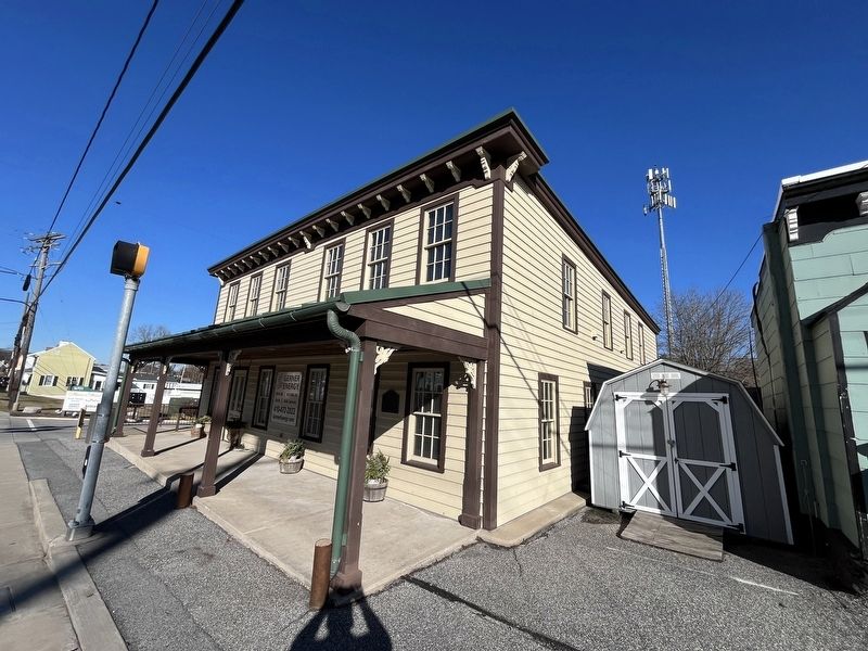
Location. 39° 35.425′ N, 76° 39.786′ W. Marker is in Hereford, Maryland, in Baltimore County. It is at the intersection of York Road (Maryland Route 45) and Mount Carmel Road ( Route 137), on the right when traveling north on York Road. Touch for map. Marker is at or near this postal address: 16947 York Rd, Monkton MD 21111, United States of America. Touch for directions.

Regionally, this marker is in the Baltimore Metro Region and in Central Maryland. It is also in the American Mid-Atlantic, in the Chesapeake Bay Region, and on the Eastern Seaboard. Globally, it is in the North Atlantic Region, North America, the Western Hemisphere, the Western World, and the Anglosphere. Historically,
this page online
Other nearby markers. At least 8 other markers are within 4 miles of this marker, measured as the crow flies: Fosters "Masemore" Mill (approx. 1.8 miles away); Gorsuch Tavern (approx. 2.1 miles away); Flag (approx. 2½ miles away); 509 Electrical Light Display Block Signal (approx. 2.8 miles away); White Hall (approx. 2.8 miles away); Torrey C. Brown Rail Trail (approx. 2.8 miles away); a different marker also named Torrey C. Brown Rail Trail (approx. 3½ miles away); Parkton (approx. 3.6 miles away).
Credits. This page was last revised on February 3, 2024. It was originally submitted on February 3, 2024, by Devry Becker Jones of Washington, District of Columbia. This page has been viewed 516 times since then and 71 times this year. Photos: 1, 2. submitted on February 3, 2024, by Devry Becker Jones of Washington, District of Columbia.
