Spring Hill in Choctaw County, Alabama — The American South (East South Central)
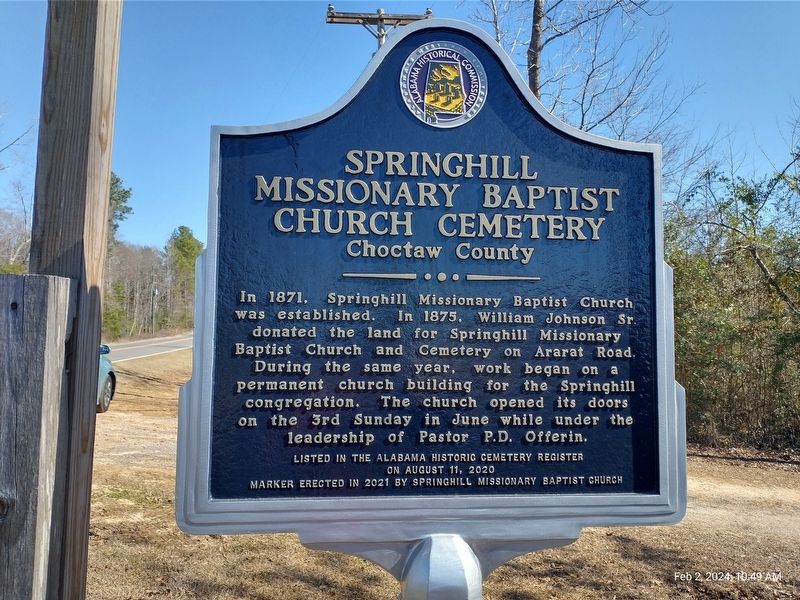
Springhill Missionary Baptist Church Cemetery
Choctaw County
on August 11, 2020
Erected 2021 by Springhill Missionary Baptist Church.
Topics. This historical marker is listed in these topic lists: African Americans • Cemeteries & Burial Sites • Churches & Religion. A significant historical year for this entry is 1871.
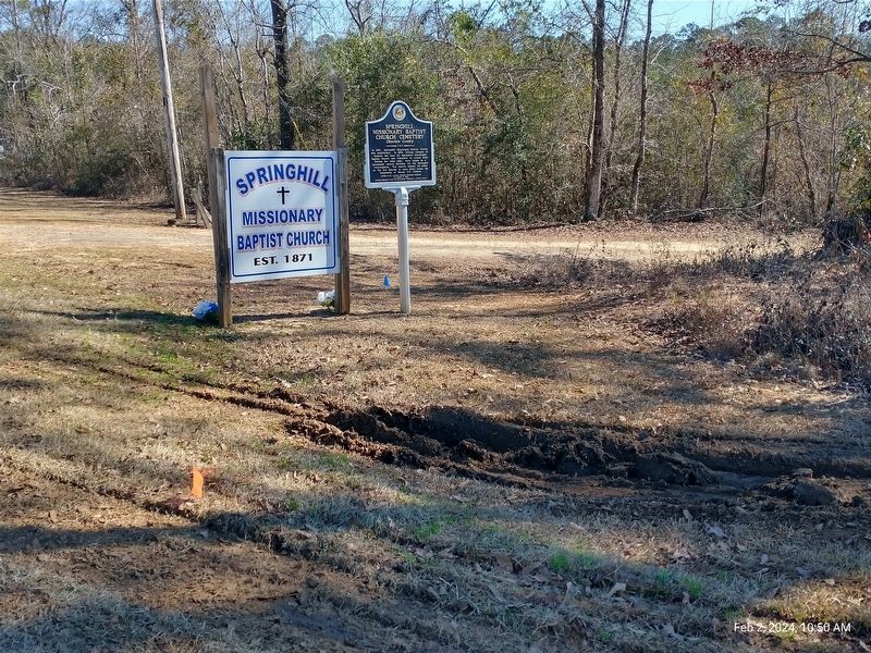
Location. 31° 56.568′ N, 88° 8.435′ W. Marker is in Spring Hill, Alabama, in Choctaw County. Marker is on Ararat Road (County Route 23) 7.2 miles north of Pleasant Hill Road, on the right when traveling east. The marker is at the intersection of the paved Ararat Road and dirt road running east. The church and cemetery cannot be seen from the paved highway intersection and are located approximately 0.25 miles down the "driveway". The "driveway" ends at a locked gate a short distance from the church, the cemetery is to the back side of the church. Touch for map. Marker is at or near this postal address: 10881 Ararat Road, Toxey AL 36921, United States of America. Touch for directions.
Other nearby markers. At least 8 other markers are within 12 miles of this marker, measured as the crow flies. Little Place Cemetery / Mt. Pleasant Baptist Church Womack Hill Community (approx. 5.1 miles away); Creek Indian War (approx. 8.1 miles away); West Bend (approx. 8.3 miles away); Mount Sterling Methodist Church (approx. 10.4 miles away); Sims Cemetery (approx. 10.8 miles away); Military Memorial Walkway (approx. 11.2 miles away); Choctaw County Confederate Soldier's Monument (approx. 11.2 miles away); In Memory Of Ruffin Dragoons Cavalry (approx. 11.2 miles away).
More about this marker. The marker is double sided with the same information on both sides.
Regarding Springhill Missionary Baptist Church Cemetery. The church received a proclamation from the legislature and the State of Alabama Governor on June 19, 2016, in recognition of its 145th anniversary. According to church records noted in the proclamation and in addition to the history on the marker, the church was rebuilt by the community and dedicated on April 4, 1971, following a fire. A cornerstone was laid a year later on October 14, 1972.
Credits. This page was last revised on February 6, 2024. It was originally submitted on February 6, 2024, by Jim Ellis of Theodore, Alabama. This page has been viewed 80 times since then. Photos: 1, 2. submitted on February 6, 2024, by Jim Ellis of Theodore, Alabama. • James Hulse was the editor who published this page.

