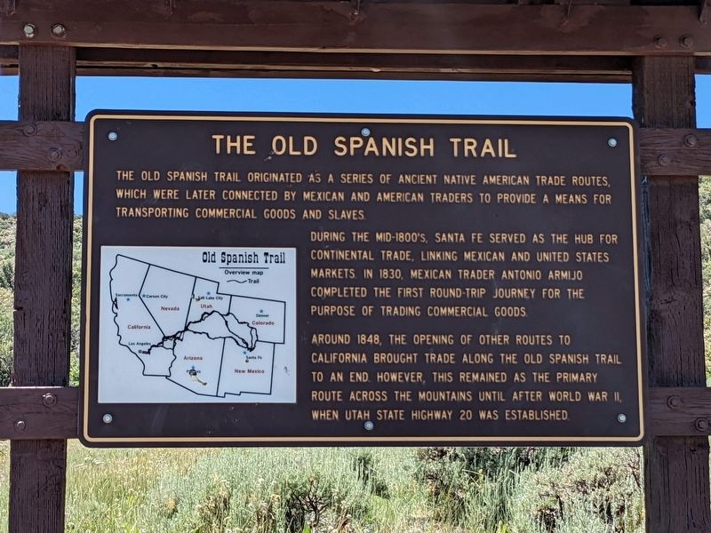
Near Paragonah in Iron County, Utah — The American Mountains (Southwest)
The Old Spanish Trail
The Old Spanish Trail originated as a series of ancient native american trade routes which were later connected by Mexican and American traders to provide a means for transporting commercial goods and slaves.
During the mid-1800's, Santa Fe served as the hub for continental trade, linking Mexican and United States markets. In 1830, Mexican trader Antonio Armijo completed the first round-trip journey for the purpose of trading commercial goods.
Around 1848, the opening of other routes to California brought trade along the Old Spanish Trail to an end however, this remained as the primary route across the mountains until after World War II when Utah State Highway 20 was established.
Topics and series. This historical marker is listed in these topic lists: Industry & Commerce • Roads & Vehicles. In addition, it is included in the Old Spanish National Trail series list. A significant historical year for this entry is 1840.
Location. 37° 54.501′ N, 112° 38.207′ W. Marker is near Paragonah, Utah, in Iron County. Marker is on Upper Bear Valley Road, on the left when traveling north. Touch for map. Marker is at or near this postal address: FR 077, Paragonah UT 84760, United States of America. Touch for directions.
Other nearby markers. At least 8 other markers are within 12 miles of this marker, measured as the crow flies. Henry W. Lunt (approx. 7˝ miles away); Paragonah Fort (approx. 7.7 miles away); Paragonah Town Square (approx. 7.7 miles away); The Tithing Lot and Relief Society Hall (approx. 7.7 miles away); Alma W. Richards (approx. 11.3 miles away); Public Works (approx. 11.4 miles away); An Original Hitching Ring (approx. 11.4 miles away); Pioneer Rock Church (approx. 11.4 miles away). Touch for a list and map of all markers in Paragonah.
Credits. This page was last revised on February 7, 2024. It was originally submitted on February 6, 2024, by Jeremy Snow of Cedar City, Utah. This page has been viewed 45 times since then. Photo 1. submitted on February 6, 2024, by Jeremy Snow of Cedar City, Utah. • Andrew Ruppenstein was the editor who published this page.
