Almo in Cassia County, Idaho — The American West (Mountains)
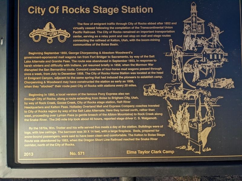
City of Rocks Stage Station
The flow of emigrant traffic through City of Rocks ebbed after 1852 and virtually ceased following the completion of the Transcontinental Union Pacific Railroad. The City of Rocks remained an important transportation center, serving as a relay point and rest stop on mail and stage routes connecting the railhead at Kelton, Utah, with the boom-mining communities of the Boise Basin. Beginning September 1850, George Chorpenning & Absolom Woodward's government-sponsored mail wagons ran from Fort Bridger to Sacramento, by way of the Salt Lake Alternate and Granite Pass. The route was abandoned in September 1853, in response to harsh winters and difficulty with Indians, yet resumed briefly in 1858, when the Mormon War disrupted the San Bernardino route. Concord coaches of four-horse mud wagons passed through once a week, from July to December 1858. The City of Rocks Home Station was located at the head of Emigrant Canyon, adjacent to the same spring that had induced the pioneers to establish camp. Chorpenning & Woodward may have constructed the station as early as 1858, when they "stocked" their route past City of Rocks with stations every 20 miles.
Beginning in 1860, a local version of the famous Pony Express also ran through City of Rocks, along a route extending from Boise to Brigham City, Utah, by way of Rock Creek, Goose Creek, City of Rocks stage station, Raft River Headquarters and Kelton Pass. Holladay Overland Mail and Express Company coaches traveled to City of Rocks region by way of the Salt Lake Alternate. Here they turned north, rather than west, proceeding over Lyman Pass (a gentle breach of the Albion Mountains) to Rock Creek along the Snake River. The 240 mile trip took about 40 hours, reported stage driver C. S. Walgamott.
By the 1870s, Wm. Trotter and his wife served five meals a day at the station. Buildings were of logs, with low ceilings. The barroom was 30 X 14 feet, with a large fireplace. Beds, prepared for snow-bound passengers, were said to have been clean and comfortable. The Kelton to Boise Stage Route was abandoned by 1883, when the Oregon Short Line Railroad reached the Snake River corridor, north of the City of Rocks.
2013 No. 571 Elma Taylor Clark Camp
Erected 2013 by Daughters of Utah Pioneers. (Marker Number 571.)
Topics and series. This historical marker is listed in these topic lists: Communications • Roads & Vehicles. In addition, it is included in the Daughters of Utah Pioneers series list. A significant historical month for this entry is September 1850.
Location. 42° 1.598′ N, 113° 43.091′ W. Marker is in Almo, Idaho, in Cassia County. Marker is on Emigrant Canyon. Touch for map. Marker is at or near this postal address: Emigrant Canyon, Almo ID 83312, United States of America. Touch for directions.
Other nearby markers. At least 8 other markers are within 4 miles of this marker, measured as the crow flies. Passing Through (within shouting distance of this marker); Twin Sisters (within shouting distance of this marker); California Trail - Trail Junction (approx. 0.3 miles away); Granite Pass (approx. 1.3 miles away); California Trail -- Pinnacle Pass (approx. 1.6 miles away); California Trail - Prairie Valley (approx. 2.4 miles away); Pinnacle Pass (approx. 2.6 miles away); A Pleasant Place (approx. 3.4 miles away). Touch for a list and map of all markers in Almo.
Credits. This page was last revised on February 8, 2024. It was originally submitted on February 6, 2024, by Jeremy Snow of Cedar City, Utah. This page has been viewed 52 times since then. Photo 1. submitted on February 6, 2024, by Jeremy Snow of Cedar City, Utah. • Andrew Ruppenstein was the editor who published this page.
