Saint Anthony Main in Minneapolis in Hennepin County, Minnesota — The American Midwest (Upper Plains)
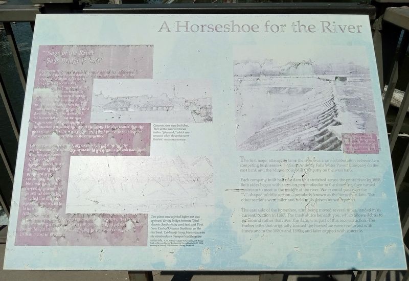
A Horseshoe for the River
In this 1928 photograph, men work on the horseshoe dam that extends from the trash sluice on which you stand. Hennepin History Museum
The first major attempt to tame the river was a rare collaboration between two competing businesses—the Saint Anthony Falls Water Power Company on the east bank and the Minneapolis Mill Company on the west bank.
Each company built half of a dam that stretched across the entire river by 1858. Both sides began with a section perpendicular to the shoreline, then turned upstream to meet in the middle of the river. Water could pass over the "V"-shaped middle section—popularly known as the horseshoe dam. The other sections were taller and held mills driven by waterpower.
The east side of the horseshoe, after being moved several times, landed in its current location in 1887. The trash sluice beneath you, which allows debris to go around rather than over the dam, was part of this reconstruction. The timber cribs that originally formed the horseshoe were reinforced with limestone in the 1880s and 1890s, and later capped with concrete.
"'Sage of the River' Says Bridge Is Safe"
Engineers were concerned that the piers for the proposed Third Avenue Bridge would damage the delicate structure of the riverbed. William de la Barre, an expert on local river conditions, had opposed a 1912 proposal for a concrete-arch bridge just upstream from the falls. "The day is either at hand or not far distant when the city must construct a bridge at Third Avenue South," he concluded; "it is inevitable." Yet he was "suspicious" of the stability of the location proposed for one of the piers. He also feared that the piers might alter the river's flow and affect power generation for the waterpower companies he represented.
Concrete piers were built first. Then arches were erected on timber "falsework," which was removed when the arches were finished. Minnesota Historical Society
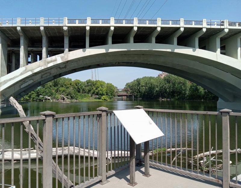
City engineer Frederick Cappelen, who had directed the construction of six bridges over the Mississippi, also worried about the pier placement and rejected the design. A steel-truss alternative that he proposed was considered too ugly. He came back with a curved alignment for an arched design that avoided the unstable area and met with De la Barre's approval. Although the bridge before you appears to have a concrete-arch structure, it is largely steel, featuring a reinforcing system patented by Austrian engineer Joseph Melan in 1898. The 2,223'-foot long bridge was completed in 1918 at a cost of $860,000.
Two plans were rejected before one was approved
for the bridge between Third Avenue South on the west bank and First (now Central) Avenue Southeast on the east bank. Cableways hung from towers on the riverbanks to transport construction materials. A.M. Richter, "A 2,223-Ft. Concrete-Arch Bridge Built on Reverse Curve," Engineering News, December 30, 1915, courtesy of James J. Hill Reference Library, Saint Paul
Erected by Xcel Energy.
Topics. This historical marker is listed in these topic lists: Bridges & Viaducts • Industry & Commerce • Waterways & Vessels. A significant historical year for this entry is 1858.
Location. 44° 59.001′ N, 93° 15.46′ W. Marker is in Minneapolis, Minnesota, in Hennepin County. It is in Saint Anthony Main. Marker can be reached from SE Main Street. The marker is in Water Power Park, at the very west end facing the Third Avenue Bridge. Touch for map. Marker is at or near this postal address: 204 SE Main Street, Minneapolis MN 55414, United States of America. Touch for directions.
Other nearby markers. At least 8 other markers are within walking distance of this marker. "Owah-Menah" (within shouting distance of this marker); The Falls Evolve (within shouting distance of this marker); Reshaping the Island (about 300 feet away, measured in a direct line); Beneath Your Feet (about 300 feet away); From Power Plant to Light Switch (about 500 feet away); The Spin on Turbines and Generators (about 500 feet away); A Complex Family Tree (about 500 feet away); The Whirlpool (about 500 feet away). Touch for a list and map of all markers in Minneapolis.
More about this marker. The marker is damaged and very sun-faded.
Credits. This page was last revised on February 23, 2024. It was originally submitted on February 6, 2024, by McGhiever of Minneapolis, Minnesota. This page has been viewed 45 times since then. Photos: 1, 2. submitted on February 6, 2024, by McGhiever of Minneapolis, Minnesota. • Andrew Ruppenstein was the editor who published this page.

