San Saba in San Saba County, Texas — The American South (West South Central)
San Saba
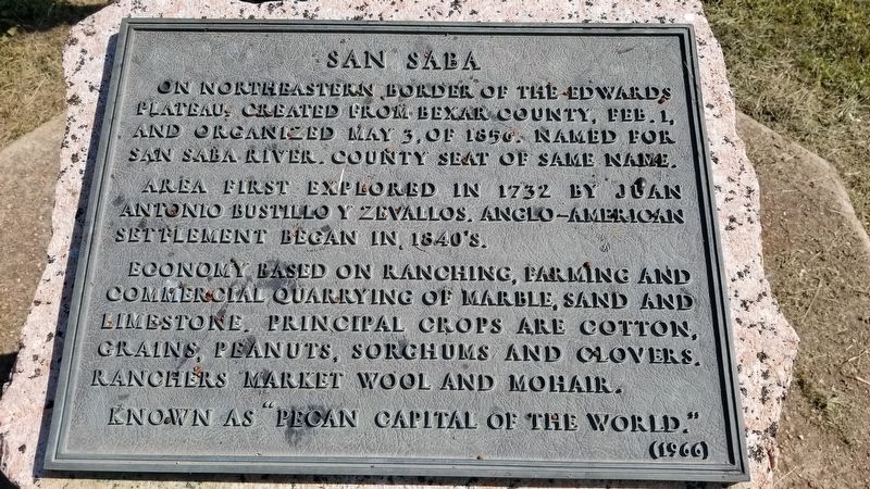
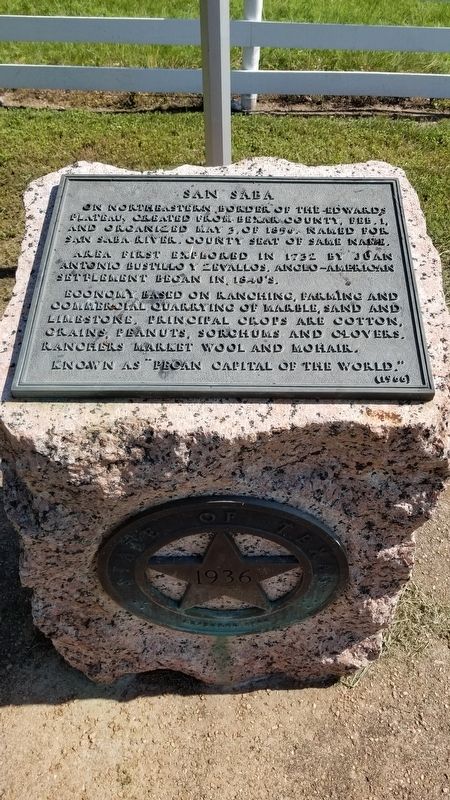
On northeastern border of the Edwards Plateau, created from Bexar County, Feb. 1, and organized May 3, of 1856. Named for San Saba river. County seat of same name.
Area first explored in 1732 by Juan Antonio Bustillo y Zevallos. Anglo-American settlement began in 1840's.
Economy based on ranching, farming and commercial quarrying of marble, sand and limestone, principal crops are cotton, grains, peanuts, sorghums and clovers. Ranchers market wool and mohair.
Known as "Pecan Capital of the World."
Erected 1966 by State of Texas. (Marker Number 4554.)
Topics and series. This historical marker is listed in these topic lists: Exploration • Hispanic Americans • Industry & Commerce • Settlements & Settlers. In addition, it is included in the Texas 1936 Centennial Markers and Monuments series list. A significant historical date for this entry is May 3, 1856.
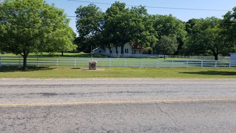
Location. 31° 11.752′ N, 98° 42.618′ W. Marker is in San Saba, Texas, in San Saba County. Marker is on East Wallace Street (U.S. 190) 0.1 miles east of Thomas Stewart Drive, on the right when traveling west. The marker is located along Highway 190 on the north side of the road. Touch for map. Marker is in this post office area: San Saba TX 76877, United States of America. Touch for directions.
Other nearby markers. At least 8 other markers are within walking distance of this marker. Mill Creek (about 400 feet away, measured in a direct line); Land Use Patterns (about 600 feet away); First Waterworks (about 600 feet away); Edmond E. Risien (about 600 feet away); Edmund E. Risien (about 600 feet away); Waterworks Features (about 600 feet away); Lest We Forget (about 700 feet away); Galloway (about 800 feet away). Touch for a list and map of all markers in San Saba.
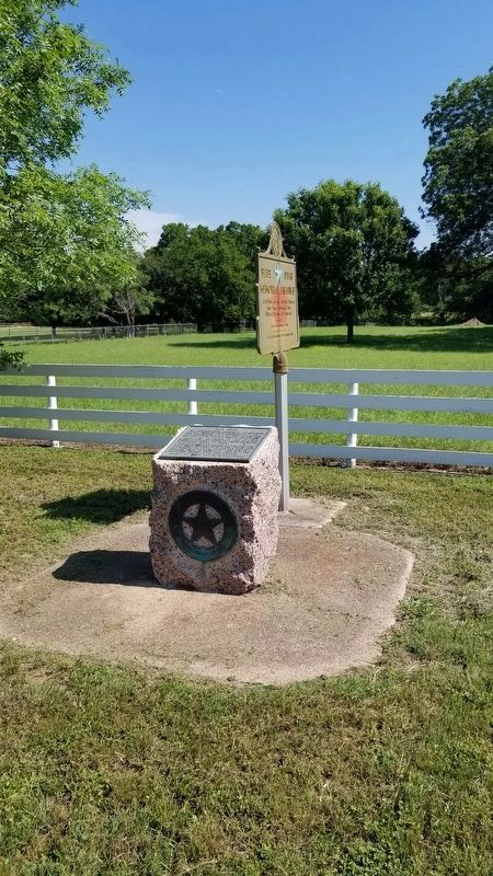
More about this marker. The marker appears to be a 1936 State of Texas marker with a newer 1966 plaque on the top of the marker.
Also see . . .
1. Bustillo y Ceballos, Juan Antonio (ca. 1691–unknown).
Juan Antonio Bustillo y Ceballos (Zevallos), soldier and governor of Spanish Texas, was born about 1691and was from the mountains of Burgos in Spain. He was in Texas for twelve years, seven of them (1724–31) as captain of Nuestra Señora de Loreto Presidio at La Bahía del Espíritu Santo. Source: The Handbook of Texas(Submitted on June 16, 2021, by James Hulse of Medina, Texas.)
2. San Saba County.
San Saba County is in Central Texas in the Llano Basin region. Its largest city and county seat, San Saba, is ninety miles northwest of Austin and 110 miles southwest of Waco. The geographic center of the county is at 31°10' north latitude and 99°41' west longitude. San Saba County covers 1,136 square miles and has an elevation of 1,100 to 1,800 feet. Mineral resources include dolomite, limestone, natural gas, and industrial sand and gravel. North of the San Saba River the terrain varies from steep to rolling. South of the river it varies from flat with deep local dissection to slightly hilly. Source: The Handbook of Texas(Submitted on June 17, 2021, by James Hulse of Medina, Texas.)
Credits. This page was last revised on February 10, 2024. It was originally submitted on June 16, 2021, by James Hulse of Medina, Texas. This page has been viewed 255 times since then and 38 times this year. Last updated on February 10, 2024, by Jeff Leichsenring of Garland, Texas. Photos: 1, 2, 3, 4. submitted on June 16, 2021, by James Hulse of Medina, Texas.


