Kommelkwartier in Maastricht, Limburg, Netherlands — Northwestern Europe
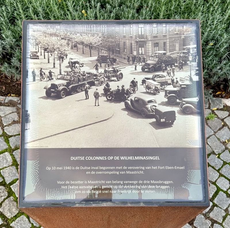
Herdenkingsplein (03): Duitse Colonnes / German Convoy
Inscription.
Op 10 mei 1940 is de Duitse inval begonnen met de verovering van het Fort Eben-Emael en de overrompeling van Maastricht.
Voor de bezetter is Maastricht van belang vanwege de drie Maasbruggen. Het Duitse aanvalsplan is gericht op de verovering van deze bruggen om zo via België snel naar Frankrijk door te stoten.
German Columns on the Wilhelinasingel
The German invasion started on May 10, 1940 with the capture of Fort Eben-Emael and the overrunning of Maastricht.
Maastricht was important to the occupier because of the three Maas bridges. The German attack plan aimed at capturing those bridges in order to quickly advance to France via Belgium.
Erected 2022.
Topics. This memorial is listed in these topic lists: Bridges & Viaducts • War, World II. A significant historical date for this entry is May 10, 1940.
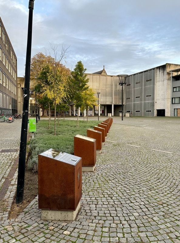
Location. 50° 50.936′ N, 5° 40.925′ E. Marker is in Maastricht, Limburg. It is in Kommelkwartier. Memorial is on Herdenkingsplein, on the right when traveling west. Touch for map. Marker is in this post office area: Maastricht, Limburg 6211 PW, Netherlands. Touch for directions.
Other nearby markers. At least 8 other markers are within walking distance of this marker. Herdenkingsplein (04): Bruggen Opgeblazen / Blown up Bridges (here, next to this marker); Herdenkingsplein (02): Dagsboekfragment / Diary Excerpt (here, next to this marker); Herdenkingsplein (05): Hakenkruizen in de Grote Staat / Swastikas over the Grote Staat (here, next to this marker); Herdenkingsplein (01): Zo Tot Veer Noets Vergete / So That We Do Not Forget (here, next to this marker); Herdenkingsplein (06): Persoonsregistratie / Personal Registration (here, next to this marker); Herdenkingsplein (07): Schuilgelegenheid / Shelter (here, next to this marker); Herdenkingsplein (08): ‘Op de Bon’ / Food Coupons (a few steps from this marker); Herdenkingsplein (09): Arbeidsbureau Batterijstraat / Batterijstraat Employment Office (a few steps from this marker). Touch for a list and map of all markers in Maastricht.
Also see . . .
1. The Battle of Maastricht (1940) – The German Invasion of South Limburg (YouTube, 10 mins.). During the German invasion of the Netherlands the city of Maastricht, located in the southern province of Limburg, was to be taken by the German armies. Dutch defenders had to blow up the bridges crossing the Meuse River that divided the city. The Germans wanted to get the bridges in hands undamaged. Would the Dutch be able to blow up the bridges and delay the German advance? History Hustle presents: the Battle of Maastricht (1940) – The German Invasion of South Limburg. A forgotten WW2 battle. (Submitted on February 10, 2024.)
2. Battle of Maastricht (Wikipedia).
Overview: The Battle of Maastricht was one of the first battles that took place during the German Campaign on the Western Front during World War II. Maastricht was a key city in order to capture the Belgian Fort Eben-Emael and split the allied armies in half.(Submitted on February 10, 2024.)
Credits. This page was last revised on February 11, 2024. It was originally submitted on February 10, 2024, by Andrew Ruppenstein of Lamorinda, California. This page has been viewed 50 times since then. Photos: 1, 2. submitted on February 10, 2024, by Andrew Ruppenstein of Lamorinda, California.

