Near Gilroy in Santa Clara County, California — The American West (Pacific Coastal)
Gilroy Yamato Hot Springs Resort
Photographed by Craig Baker
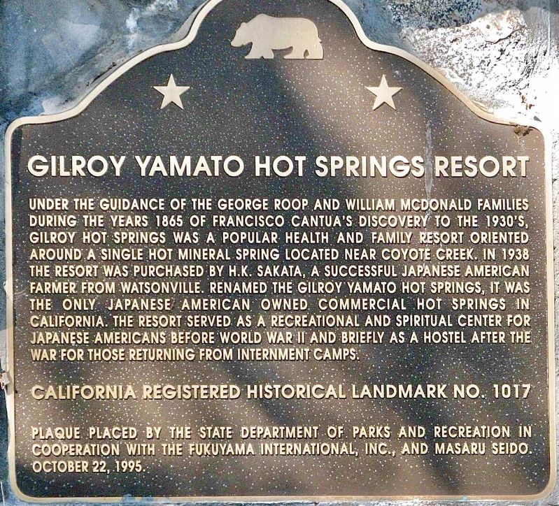
1. Gilroy Yamato Hot Springs Resort Marker
Under the guidance of the George Roop and William McDonald families during the years 1865 of Francisco Cantua's discovery to the 1930's, Gilroy Hot Springs was a popular health and family resort oriented around a single hot mineral spring located near Coyote Creek. In 1938 the resort was purchased by H.K. Sakata, a successful Japanese American farmer from Watsonville. Renamed the
Gilroy Yamato Hot Springs, it was the only Japanese American owned commercial hot springs in California. The resort served as a recreational and spiritual center for Japanese Americans before World War II and briefly as a hostel after the war for those returning from internment camps.
California Registered Historical Landmark No. 1017.
Erected 1995 by State Department of Parks and Recreation; Fukuyama International, Inc.; and Masaru Seido. (Marker Number 1017.)
Topics and series. This historical marker is listed in these topic lists: Asian Americans • Natural Resources • Religion & Religious Structures • War, World II. In addition, it is included in the California Historical Landmarks series list. A significant historical year for this entry is 1865.
Location. 37° 6.532′ N,
this page online

Regionally, this marker is in the San Francisco Bay Area and on the Coast Ranges. It is also on the American Pacific Coast. Globally, it is in North America, on the Ring of Fire, on the Pacific Rim, in the Western Hemisphere, in the Western World, and in the Anglosphere. Historically, it finds itself in what was once New Spain and also Mexico’s Alta California.
Other nearby markers. At least 8 other markers are within 9 miles of this marker, measured as the crow flies: Coyote Lake – Harvey Bear Ranch County Park (approx. 5.4 miles away); Pioneering Murphy Family (approx. 5.4 miles away); Rucker School Historical Site 1894 (approx. 7.1 miles away); Franklin Family Ranch (approx. 7.3 miles away); Community of San Martin (approx. 7.4 miles away); Rancho San Ysidro / San Ysidro School (approx.
Photographed by Craig Baker
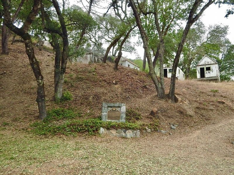
2. Gilroy Yamato Hot Springs Resort Marker
Photographed by Craig Baker
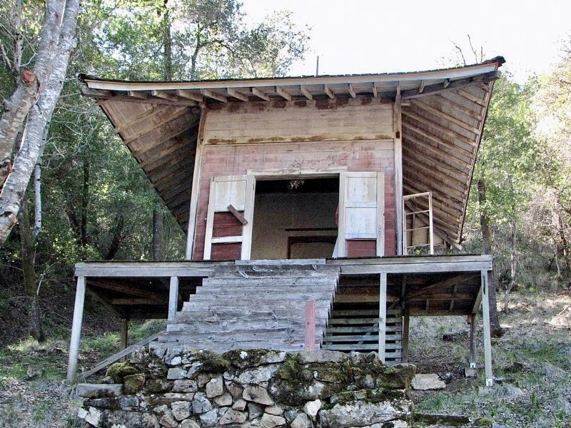
3. Shrine
This shrine was part of the resort.
Credits. This page was last revised on August 2, 2025. It was originally submitted on February 11, 2024, by Craig Baker of Sylmar, California. This page has been viewed 393 times since then and 46 times this year. Photos: 1, 2, 3. submitted on February 11, 2024, by Craig Baker of Sylmar, California.
