Laurel Park in Henderson County, North Carolina — The American South (South Atlantic)
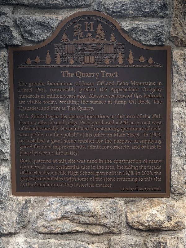
The Quarry Tract
W.A. Smith began his quarry operations at the turn of the 20th Century after he and Judge Pace purchased a 240-acre tract west of Hendersonville, He exhibited “outstanding specimens of rock, susceptible to a fine polish” at his office on Main Street. In 1909, he installed a giant stone crusher for the purpose of supplying gravel for road improvements, admix for concrete, and ballast to place between railroad ties.
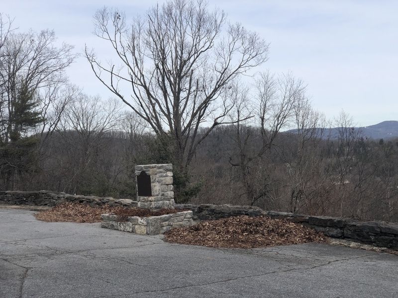
Rock quarried at this site was used in the construction of many commercial and residential sites in the area, including the façade of the Hendersonville High School gym built in 1938. In 2020, the gym was demolished with some of the stone returning to this site as the foundation of this historical marker.
Erected 2021 by Friends of Laurel Park.
Topics. This historical marker is listed in these topic lists: Industry & Commerce • Natural Features • Natural Resources. A significant historical year for this entry is 1909.
Location. 35° 18.812′ N, 82° 29.692′ W. Marker is in Laurel Park, North Carolina, in Henderson County. Marker is at the intersection of Old Laurel Drive and Upper Laurel Drive on Old Laurel Drive. Touch for map. Marker is at or near this postal address: 48 Old Laurel Dr, Hendersonville NC 28739, United States of America. Touch for directions.
Other nearby markers. At least 8 other markers are within walking distance of this marker. Crystal Spring (about 600 feet away, measured in a direct line); The Swiss Railway (approx. 0.2 miles away); Park Heights Tower (approx. 0.2 miles away); Original Water Reservoir and the Cascades (approx. ¼ mile away); “Woodlawn” (approx. 0.3 miles away); The Retreat Hotel (approx. 0.4 miles away); The Casino (approx. 0.4 miles away); The Park and Amusement Grounds (approx. 0.4 miles away). Touch for a list and map of all markers in Laurel Park.
Credits. This page was last revised on February 13, 2024. It was originally submitted on February 12, 2024, by Duane and Tracy Marsteller of Murfreesboro, Tennessee. This page has been viewed 43 times since then. Photos: 1, 2. submitted on February 12, 2024, by Duane and Tracy Marsteller of Murfreesboro, Tennessee.

