Laurel Park in Henderson County, North Carolina — The American South (South Atlantic)
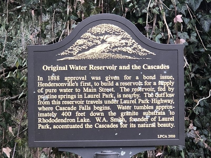
Original Water Reservoir and the Cascades
Inscription.
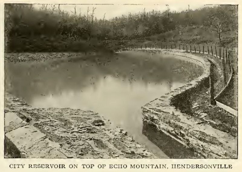
In 1888 approval was given for a bond issue, Hendersonville's first, to build a reservoir for a supply of pure water to Main Street. The reservoir, fed by pristine springs in Laurel Park, is nearby. The outflow from this reservoir travels under Laurel Park Highway, where Cascade Falls begins. Water tumbles approximately 400 feet down the granite substrata to Rhododendron Lake. W.A. Smith, founder of Laurel Park, accentuated the Cascades for its natural beauty.
Erected 2010 by Laurel Park Civic Association.
Topics. This historical marker is listed in this topic list: Waterways & Vessels. A significant historical year for this entry is 1888.
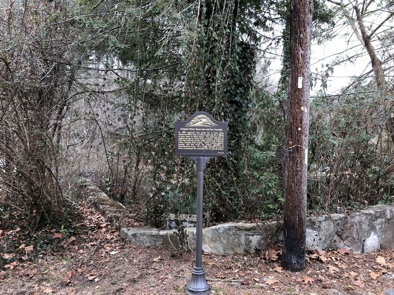
Location. 35° 18.6′ N, 82° 29.554′ W. Marker is in Laurel Park, North Carolina, in Henderson County. Marker is at the intersection of Old Laurel Drive and Westwood Drive, on the right when traveling south on Old Laurel Drive. Touch for map. Marker is in this post office area: Hendersonville NC 28739, United States of America. Touch for directions.
Other nearby markers. At least 8 other markers are within walking distance of this marker. Park Heights Tower (about 500 feet away, measured in a direct line); The Swiss Railway (about 500 feet away); Crystal Spring (approx. 0.2 miles away); William Alexander Smith (approx. ¼ mile away); The Quarry Tract (approx. ¼ mile away); History & Restoration (approx. 0.3 miles away); Rhododendron Lake (approx. 0.3 miles away); Echo Mountain Inn (approx. 0.4 miles away). Touch for a list and map of all markers in Laurel Park.
Credits. This page was last revised on February 13, 2024. It was originally submitted on February 13, 2024, by Duane and Tracy Marsteller of Murfreesboro, Tennessee. This page has been viewed 54 times since then. Photos: 1, 2, 3. submitted on February 13, 2024, by Duane and Tracy Marsteller of Murfreesboro, Tennessee.


