Stockton in San Joaquin County, California — The American West (Pacific Coastal)
Weber Primary School
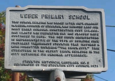
Photographed by Syd Whittle, November 1, 2009
1. Weber Primary School Marker
Designated by the Stockton City Council 1971
Erected 1971 by City of Stockton. (Marker Number 5.)
Topics and series. This historical marker is listed in these topic lists: Education • Landmarks • Notable Buildings. In addition, it is included in the Stockton Historic Landmarks series list. A significant historical year for this entry is 1873.
Location. 37° 57.622′ N, 121° 17.648′ W. Marker is in Stockton, California, in San Joaquin County. It is on West Flora Street near Commerce Street, on the right when traveling west. Touch for map. Marker is at or near this postal address: 55 West Flora Street,
this page online

Regionally, this marker is in the San Joaquin Valley and specifically in the Central Valley. It is also on the American Pacific Coast. Globally, it is in North America, on the Ring of Fire, in the Pacific Rim, in the Western Hemisphere, in the Western World, and in the Anglosphere. Historically, it finds itself in what was once New Spain and also Mexico’s Alta California.
Other nearby markers. At least 8 other markers are within walking distance of this marker: Edward B. Conde Home (about 500 feet away, measured in a direct line); Stockton Memorial Civic Auditorium (approx. 0.2 miles away); Stockton Vietnam War Memorial (approx. 0.2 miles away); Dr. Cross House (approx. 0.2 miles away); Stockton Veterans Monument (approx. 0.2 miles away); Remember Pearl Harbor (approx. ¼ mile away); Stockton Women Veterans Tree (approx. ¼ mile away); José Maria Morelos y Pavón (approx. ¼ mile away). Touch for a list and map of all markers in Stockton.
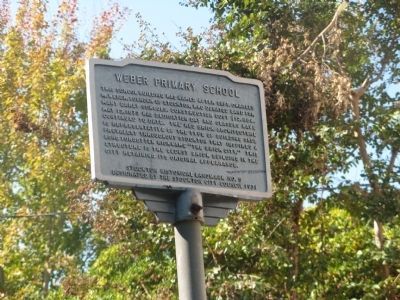
Photographed by Syd Whittle, November 1, 2009
2. Weber Primary School Marker
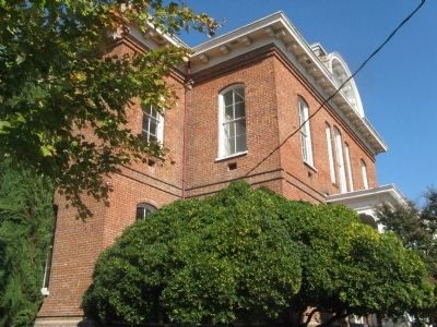
Photographed by Syd Whittle, November 1, 2009
3. Weber Primary School
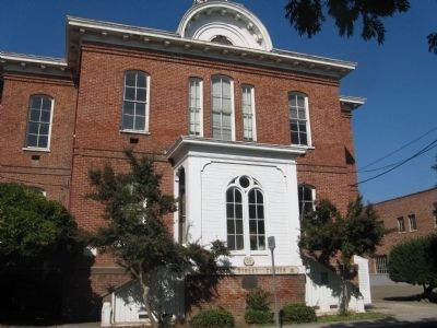
Photographed by Syd Whittle, November 1, 2009
4. Weber Primary School
Credits. This page was last revised on June 16, 2016. It was originally submitted on November 5, 2009, by Syd Whittle of Mesa, Arizona. This page has been viewed 1,572 times since then and 38 times this year. Photos: 1, 2, 3, 4. submitted on November 5, 2009, by Syd Whittle of Mesa, Arizona.
