Near Fremont in Sandusky County, Ohio — The American Midwest (Great Lakes)
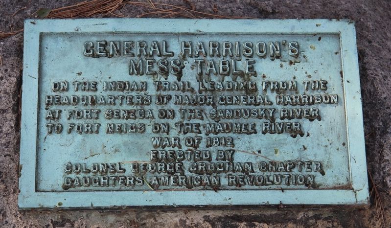
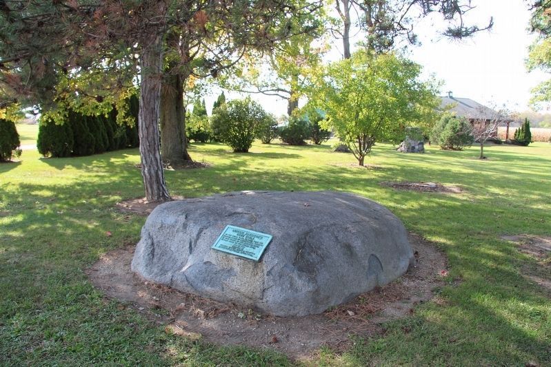
General Harrison's Mess Table
War of 1812
Erected 1910 by Colonel George Croghan Chapter Daughters of the American Revolution (DAR).
Topics and series. This historical marker is listed in these topic lists: Native Americans • War of 1812. In addition, it is included in the Daughters of the American Revolution, and the Former U.S. Presidents: #09 William Henry Harrison series lists. A significant historical year for this entry is 1812.
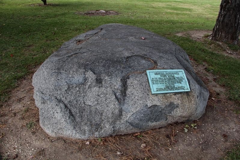
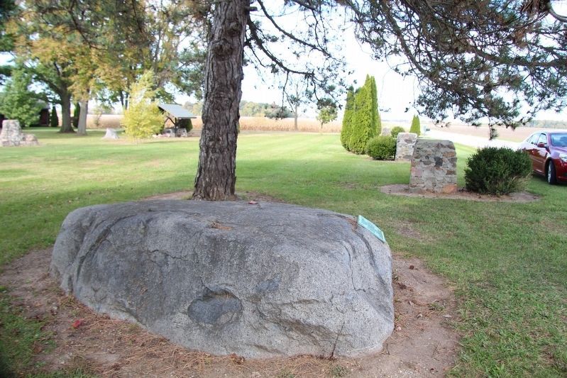
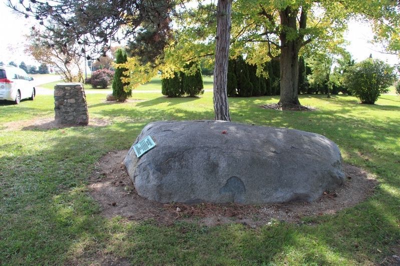
Location. 41° 18.645′ N, 83° 13.575′ W. Marker is near Fremont, Ohio, in Sandusky County. Marker is on Ohio Route 590, half a mile north of County Route 39, on the left when traveling north. This marker (plaque) can be seen, attached to a very large boulder, a short distance off the west side of the roadway, on residential property. Touch for map. Marker is at or near this postal address: 1126 Ohio Route 590, Fremont OH 43420, United States of America. Touch for directions.
Other nearby markers. At least 8 other markers are within 6 miles of this marker, measured as the crow flies. Portage Trail (approx. 3.8 miles away); Veterans Memorial (approx. 3.9 miles away); Mull Covered Bridge / Covered Bridges (approx. 4.1 miles away); Ball’s Battlefield (approx. 4.3 miles away); Four Mile House Cemetery Veterans Memorial (approx. 4.7 miles away); Site Of Salem's Church (approx. 5.1 miles away); Sgt. James J. Feeney (approx. 5.2 miles away); Charles Englehart (approx. 5.2 miles away). Touch for a list and map of all markers in Fremont.
More about this marker. According to information provided by the Daughters of the American Revolution, the historical significance of this marker is as follows: "During the Campaigns in the Sandusky and Maumee river valleys in the War of 1812, General Wm. Henry Harrison with his military staff dined upon this 80 ton glacial deposit estimated from 7-12 thousand years old, when traveling from Fort Seneca to Fort Meigs along the Maumee River. It should be noted that the region was the Great Black Swamp and nearly impassible so the rock was actually used by Indians and any others in the area as well since a high dry spot could be found no where."
Also see . . . Harrison Rock. This is a link to information provided by the Daughters of the American Revolution. (Submitted on October 21, 2019, by Dale K. Benington of Toledo, Ohio.)
Credits. This page was last revised on March 3, 2024. It was originally submitted on October 21, 2019, by Dale K. Benington of Toledo, Ohio. This page has been viewed 266 times since then and 34 times this year. Last updated on February 13, 2024, by Carolyn Sanders of Plano, Texas. Photos: 1, 2, 3, 4, 5. submitted on October 21, 2019, by Dale K. Benington of Toledo, Ohio. • Devry Becker Jones was the editor who published this page.
